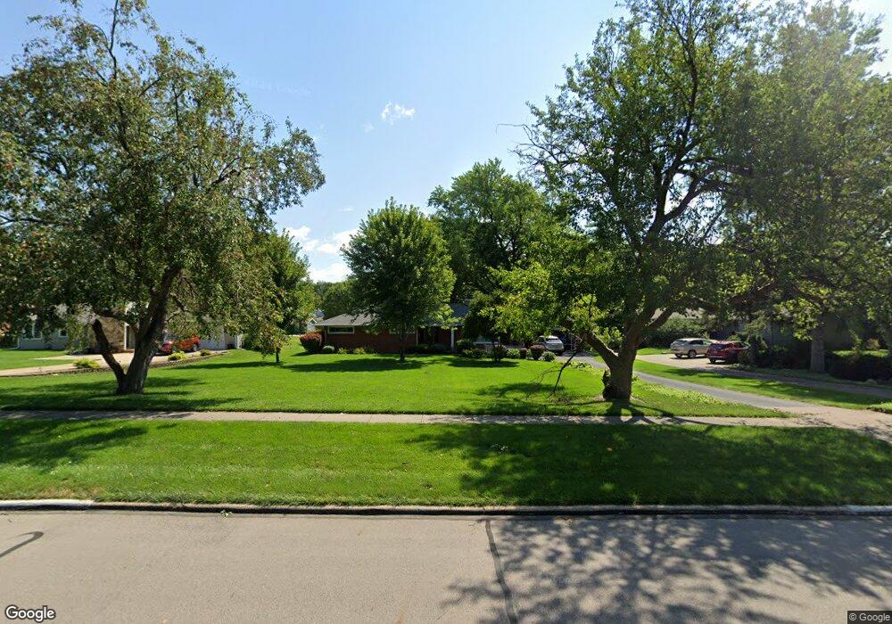
1033 16th St West Des Moines, IA 50265
Estimated Value: $269,000 - $365,000
3
Beds
1
Bath
1,397
Sq Ft
$235/Sq Ft
Est. Value
About This Home
This home is located at 1033 16th St, West Des Moines, IA 50265 and is currently estimated at $328,650, approximately $235 per square foot. 1033 16th St is a home located in Polk County with nearby schools including Hillside Elementary School, Stilwell Junior High School, and Valley Southwoods Freshman High School.
Ownership History
Date
Name
Owned For
Owner Type
Purchase Details
Closed on
Mar 9, 2007
Sold by
Warren Mark Andrew and Warren Ann Marie Dougherty
Bought by
Carter Richard C and Carter Mary H
Current Estimated Value
Home Financials for this Owner
Home Financials are based on the most recent Mortgage that was taken out on this home.
Original Mortgage
$152,000
Outstanding Balance
$92,250
Interest Rate
6.4%
Mortgage Type
Purchase Money Mortgage
Estimated Equity
$236,400
Purchase Details
Closed on
Oct 17, 2001
Sold by
Saluri Dan T and Saluri Rebecca J
Bought by
Warren Mark Andrew and Warren Ann Marie Dougherty
Home Financials for this Owner
Home Financials are based on the most recent Mortgage that was taken out on this home.
Original Mortgage
$116,000
Interest Rate
6.92%
Purchase Details
Closed on
Nov 8, 2000
Sold by
Saluri Sam A and Saluri Mary Ann
Bought by
Saluri Sam A and Saluri Mary Ann
Create a Home Valuation Report for This Property
The Home Valuation Report is an in-depth analysis detailing your home's value as well as a comparison with similar homes in the area
Home Values in the Area
Average Home Value in this Area
Purchase History
| Date | Buyer | Sale Price | Title Company |
|---|---|---|---|
| Carter Richard C | $189,500 | Itc | |
| Warren Mark Andrew | $144,500 | -- | |
| Saluri Sam A | -- | -- |
Source: Public Records
Mortgage History
| Date | Status | Borrower | Loan Amount |
|---|---|---|---|
| Open | Carter Richard C | $152,000 | |
| Previous Owner | Warren Mark Andrew | $116,000 |
Source: Public Records
Tax History Compared to Growth
Tax History
| Year | Tax Paid | Tax Assessment Tax Assessment Total Assessment is a certain percentage of the fair market value that is determined by local assessors to be the total taxable value of land and additions on the property. | Land | Improvement |
|---|---|---|---|---|
| 2025 | $3,950 | $310,400 | $97,100 | $213,300 |
| 2024 | $3,950 | $275,300 | $85,100 | $190,200 |
| 2023 | $4,104 | $275,300 | $85,100 | $190,200 |
| 2022 | $4,054 | $224,800 | $71,400 | $153,400 |
| 2021 | $3,822 | $224,800 | $71,400 | $153,400 |
| 2020 | $3,760 | $202,500 | $64,200 | $138,300 |
| 2019 | $3,556 | $202,500 | $64,200 | $138,300 |
| 2018 | $3,560 | $185,400 | $57,700 | $127,700 |
| 2017 | $3,450 | $185,400 | $57,700 | $127,700 |
| 2016 | $3,370 | $175,000 | $53,500 | $121,500 |
| 2015 | $3,370 | $175,000 | $53,500 | $121,500 |
| 2014 | $2,996 | $160,100 | $48,300 | $111,800 |
Source: Public Records
Map
Nearby Homes
- 1025 16th St
- 1041 16th St
- 1049 16th St
- 1432 Pleasant Dr
- 1519 Ashworth Rd
- 1527 Ashworth Rd
- 1509 Ashworth Rd
- 1424 Pleasant Dr
- 1501 Ashworth Rd
- 1034 16th St
- 1605 Ashworth Rd
- 1026 16th St
- 1042 16th St
- 1416 Pleasant Dr
- 1050 16th St
- 1425 Ashworth Rd
- 1433 Pleasant Dr
- 1115 16th St
- 1615 Ashworth Rd
- 1408 Pleasant Dr