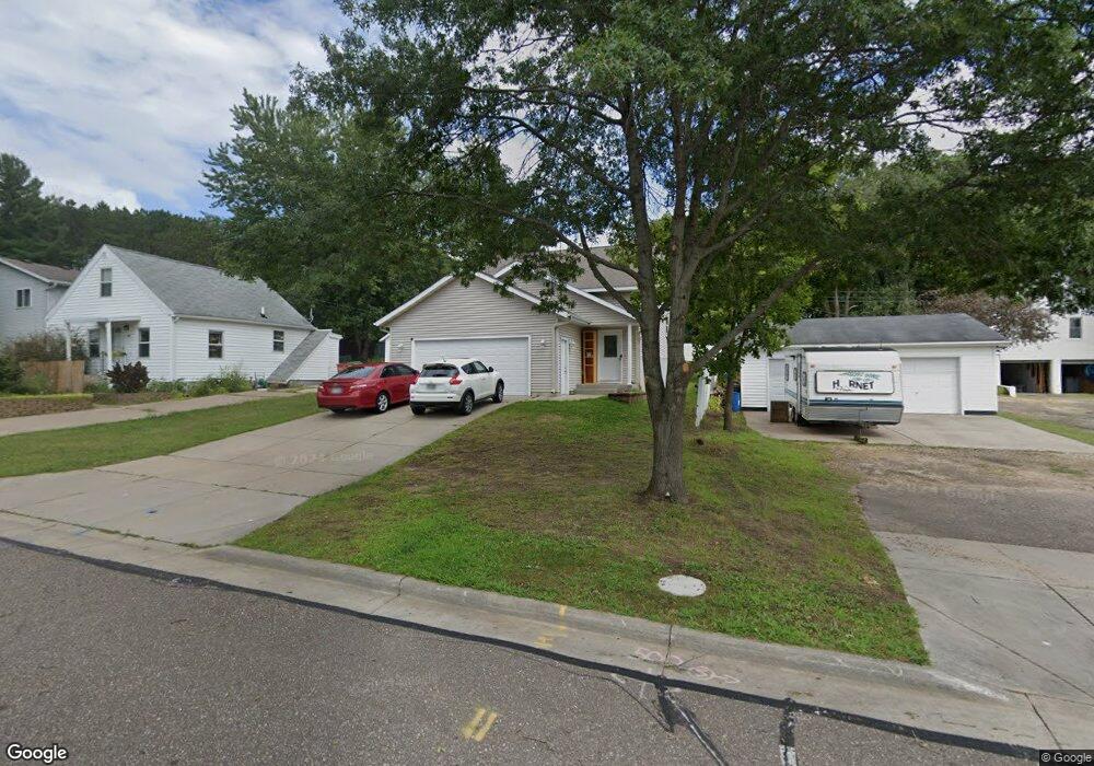
1033 Andover Ave Eau Claire, WI 54703
Estimated Value: $323,000 - $368,000
4
Beds
2
Baths
1,824
Sq Ft
$187/Sq Ft
Est. Value
About This Home
This home is located at 1033 Andover Ave, Eau Claire, WI 54703 and is currently estimated at $341,264, approximately $187 per square foot. 1033 Andover Ave is a home with nearby schools including Northwoods Elementary School, Northstar Middle School, and North High School.
Ownership History
Date
Name
Owned For
Owner Type
Purchase Details
Closed on
Nov 13, 2015
Sold by
Trindal Dev Llc
Bought by
Nyberg Eric S and Prynch Meghan
Current Estimated Value
Home Financials for this Owner
Home Financials are based on the most recent Mortgage that was taken out on this home.
Original Mortgage
$167,887
Outstanding Balance
$131,871
Interest Rate
3.75%
Mortgage Type
FHA
Estimated Equity
$209,393
Purchase Details
Closed on
Aug 18, 2015
Sold by
Construction Inv Llc
Bought by
Trindall Dev Llc
Home Financials for this Owner
Home Financials are based on the most recent Mortgage that was taken out on this home.
Original Mortgage
$114,000
Interest Rate
4.03%
Mortgage Type
Construction
Create a Home Valuation Report for This Property
The Home Valuation Report is an in-depth analysis detailing your home's value as well as a comparison with similar homes in the area
Home Values in the Area
Average Home Value in this Area
Purchase History
| Date | Buyer | Sale Price | Title Company |
|---|---|---|---|
| Nyberg Eric S | $171,000 | -- | |
| Trindall Dev Llc | $14,300 | -- |
Source: Public Records
Mortgage History
| Date | Status | Borrower | Loan Amount |
|---|---|---|---|
| Open | Nyberg Eric S | $167,887 | |
| Previous Owner | Trindall Dev Llc | $114,000 |
Source: Public Records
Tax History Compared to Growth
Tax History
| Year | Tax Paid | Tax Assessment Tax Assessment Total Assessment is a certain percentage of the fair market value that is determined by local assessors to be the total taxable value of land and additions on the property. | Land | Improvement |
|---|---|---|---|---|
| 2024 | $4,251 | $225,600 | $16,800 | $208,800 |
| 2023 | $3,867 | $225,600 | $16,800 | $208,800 |
| 2022 | $3,788 | $225,600 | $16,800 | $208,800 |
| 2021 | $3,704 | $225,600 | $16,800 | $208,800 |
| 2020 | $3,553 | $186,700 | $16,600 | $170,100 |
| 2019 | $3,537 | $186,700 | $16,600 | $170,100 |
| 2018 | $3,626 | $186,700 | $16,600 | $170,100 |
| 2017 | $4,059 | $163,000 | $14,300 | $148,700 |
| 2016 | $3,691 | $163,000 | $14,300 | $148,700 |
| 2014 | -- | $14,300 | $14,300 | $0 |
| 2013 | -- | $14,300 | $14,300 | $0 |
Source: Public Records
Map
Nearby Homes
- 1138 Craven Ct
- 1209 Barbara Jean Dr
- 3121 Seymour Rd Unit 3
- 1351 Brentwood Terrace
- 2737 Shale Ledge Rd
- 2644 Trindal St
- Lot 22 & 23 Patrick John Dr
- Lot 24 & 25 Patrick John Dr
- Lot 1 Craven Ct
- Lot 7 Craven Ct
- Lot 8 Craven Ct
- Lot 3 Craven Ct
- Lot 2 Craven Ct
- Lot 123 24th Ave
- Lot 122 24th Ave
- Lot 120 24th Ave
- Lot 116 24th Ave
- Lot 105 24th Ave
- Lot 104 24th Ave
- Lot 102 24th Ave
- 1037 Andover Ave
- 1025 Andover Ave
- 3303 Essex St
- 1021 Andover Ave
- 0 Andover Ave
- Lot 16 & 11 Essex St
- 1034 Andover Ave
- 1042 Andover Ave
- 1022 Andover Ave
- 1101 Andover Ave
- 1017 Andover Ave
- 1016 Andover Ave
- 3220 Essex St
- 1109 Andover Ave
- 1033 Brookline Ave
- 1041 Brookline Ave
- 1025 Brookline Ave
- 1110 Andover Ave
- 1021 Brookline Ave
- 3222 Seymour Rd