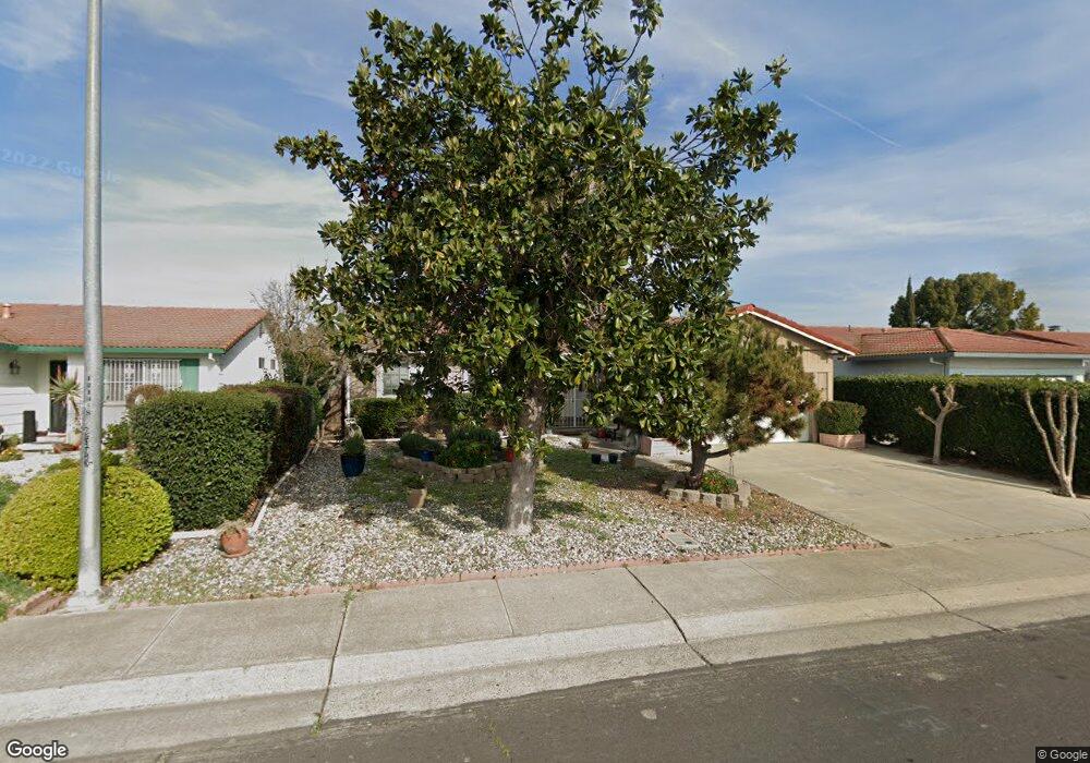
1033 Lencoe Dr Stockton, CA 95210
Valley Oak NeighborhoodEstimated Value: $291,000 - $348,000
2
Beds
2
Baths
1,424
Sq Ft
$231/Sq Ft
Est. Value
About This Home
This home is located at 1033 Lencoe Dr, Stockton, CA 95210 and is currently estimated at $328,433, approximately $230 per square foot. 1033 Lencoe Dr is a home located in San Joaquin County with nearby schools including Parklane Elementary School, Delta Sierra Middle School, and Ronald E. McNair High School.
Ownership History
Date
Name
Owned For
Owner Type
Purchase Details
Closed on
Jun 4, 2021
Sold by
Bausman Albert N
Bought by
Monica R Grundmeier Trust
Current Estimated Value
Purchase Details
Closed on
Apr 8, 2021
Sold by
Sharrar Kelly Michelle and Monica R Grundmeier Trust
Bought by
Sharrar Kelly Michelle
Purchase Details
Closed on
Nov 4, 1999
Sold by
Grundmeier Monica
Bought by
Grundmeier Monica R and Monica R Grundmeier Trust
Purchase Details
Closed on
Aug 6, 1998
Sold by
Bausman Albert N and Bausman Edward A
Bought by
Grundmeier Monica
Create a Home Valuation Report for This Property
The Home Valuation Report is an in-depth analysis detailing your home's value as well as a comparison with similar homes in the area
Home Values in the Area
Average Home Value in this Area
Purchase History
| Date | Buyer | Sale Price | Title Company |
|---|---|---|---|
| Monica R Grundmeier Trust | -- | -- | |
| Sharrar Kelly Michelle | -- | None Available | |
| Monica R Grundmeier Trust | -- | -- | |
| Grundmeier Monica R | -- | -- | |
| Grundmeier Monica | $73,000 | Old Republic Title Company |
Source: Public Records
Tax History
| Year | Tax Paid | Tax Assessment Tax Assessment Total Assessment is a certain percentage of the fair market value that is determined by local assessors to be the total taxable value of land and additions on the property. | Land | Improvement |
|---|---|---|---|---|
| 2025 | $1,230 | $114,432 | $39,188 | $75,244 |
| 2024 | $1,206 | $112,189 | $38,420 | $73,769 |
| 2023 | $1,191 | $109,990 | $37,667 | $72,323 |
| 2022 | $1,161 | $107,834 | $36,929 | $70,905 |
| 2021 | $1,186 | $105,720 | $36,205 | $69,515 |
| 2020 | $1,157 | $104,637 | $35,834 | $68,803 |
| 2019 | $1,129 | $102,586 | $35,132 | $67,454 |
| 2018 | $1,107 | $100,576 | $34,444 | $66,132 |
| 2017 | $1,080 | $98,605 | $33,769 | $64,836 |
| 2016 | $1,016 | $96,671 | $33,107 | $63,564 |
| 2014 | $1,002 | $93,354 | $31,971 | $61,383 |
Source: Public Records
Map
Nearby Homes
- 1103 Summerview Dr
- 8243 Onyx Ct
- 8215 Manhattan Dr
- 1545 Pyrenees Ave Unit 30
- 1645 Pyrenees Ave Unit 63
- 732 Fordham Dr
- 1661 Pyrenees Ave Unit 70
- 718 Castle Oaks Dr
- 701 Erie Dr
- 714 Fordham Dr
- 4424
- 4424 Ijams Lot #6
- 8815 Damian Ct
- 617 Clinton Dr
- 8024 Albany Dr
- 1904 Tours Dr
- 9302 Eaglepoint Ln
- 1740 Sandalwood Dr
- 8700 West Ln Unit 186
- 8700 West Ln Unit 149
- 1107 Lencoe Dr
- 1027 Lencoe Dr
- 1104 Summerview Dr
- 1113 Lencoe Dr
- 1021 Lencoe Dr
- 1028 Summerview Dr
- 1110 Summerview Dr
- 1022 Summerview Dr
- 1030 Lencoe Dr Unit 2
- 1119 Lencoe Dr
- 1106 Lencoe Dr
- 1013 Lencoe Dr
- 1116 Summerview Dr
- 1022 Lencoe Dr
- 1114 Lencoe Dr
- 1016 Summerview Dr
- 1014 Lencoe Dr
- 1125 Lencoe Dr
- 1122 Summerview Dr
- 1001 Lencoe Dr