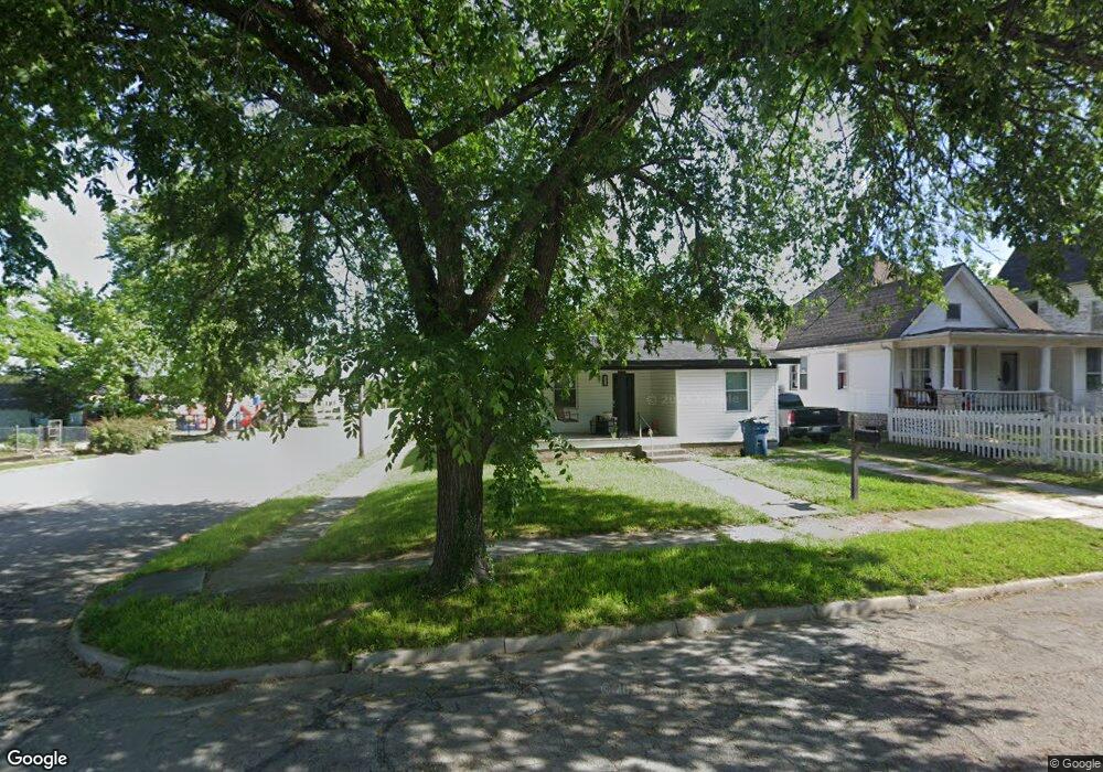
1033 Olive St Carthage, MO 64836
Estimated Value: $89,853 - $135,000
3
Beds
1
Bath
832
Sq Ft
$138/Sq Ft
Est. Value
About This Home
This home is located at 1033 Olive St, Carthage, MO 64836 and is currently estimated at $114,463, approximately $137 per square foot. 1033 Olive St is a home located in Jasper County with nearby schools including Carthage High School, Victory Academy, and St. Ann's Catholic School.
Ownership History
Date
Name
Owned For
Owner Type
Purchase Details
Closed on
Sep 16, 2022
Sold by
Rachel Mcconnell
Bought by
Lopez Ana and Reyes Luis
Current Estimated Value
Purchase Details
Closed on
Oct 6, 2011
Sold by
Mcconnell Rachel L and Camacho Rachel L
Bought by
Mcconnell Rachel L and Miller Shawn T
Home Financials for this Owner
Home Financials are based on the most recent Mortgage that was taken out on this home.
Original Mortgage
$21,000
Interest Rate
4.28%
Mortgage Type
Stand Alone Refi Refinance Of Original Loan
Create a Home Valuation Report for This Property
The Home Valuation Report is an in-depth analysis detailing your home's value as well as a comparison with similar homes in the area
Home Values in the Area
Average Home Value in this Area
Purchase History
| Date | Buyer | Sale Price | Title Company |
|---|---|---|---|
| Lopez Ana | -- | -- | |
| Mcconnell Rachel L | -- | Jct |
Source: Public Records
Mortgage History
| Date | Status | Borrower | Loan Amount |
|---|---|---|---|
| Previous Owner | Mcconnell Rachel L | $21,000 |
Source: Public Records
Tax History
| Year | Tax Paid | Tax Assessment Tax Assessment Total Assessment is a certain percentage of the fair market value that is determined by local assessors to be the total taxable value of land and additions on the property. | Land | Improvement |
|---|---|---|---|---|
| 2025 | $328 | $10,710 | $950 | $9,760 |
| 2024 | $328 | $6,380 | $950 | $5,430 |
| 2023 | $328 | $6,380 | $950 | $5,430 |
| 2022 | $321 | $6,250 | $950 | $5,300 |
| 2021 | $317 | $6,250 | $950 | $5,300 |
| 2020 | $309 | $5,830 | $950 | $4,880 |
| 2019 | $309 | $5,830 | $950 | $4,880 |
| 2018 | $321 | $6,070 | $0 | $0 |
| 2017 | $322 | $6,070 | $0 | $0 |
| 2016 | $321 | $6,070 | $0 | $0 |
Source: Public Records
Map
Nearby Homes
- 1018 Olive St
- 1101 Oak St
- 802 Oak St
- 1324 W Central Ave
- 703 W Central Tract 2
- 827 W Chestnut St
- 431 S Orner St
- 514 Poplar St
- 1143 S Case St
- 516 Wooster St
- 1107 Ash St
- 903 S Main St
- 510 Miller St
- 1135 S Maple St
- 1206 Douglas Ct
- 1131 Lyon St
- 1112 S Garrison Ave
- 1014 S Main St
- 1135 Lyon St
- 1007 Grant St
- 1029 Olive St
- 1029 Olive St Unit 1
- 1025 Olive St
- 1101 Olive St
- 1019 Olive St
- 1015 Olive St
- 1024 W Central Ave
- 1109 Olive St
- 1030 Olive St
- 1028 Olive St
- 1018 W Central Ave
- 1024 Olive St
- 1013 Olive St
- 1100 Olive St
- 1106 Olive St
- 1012 W Central Ave
- 1014 Olive St
- 1117 Olive St
- 1108 Olive St
- 1012 Olive St
Your Personal Tour Guide
Ask me questions while you tour the home.