1033 Rollins Lakeshore Dr Rollins, MT 59931
Estimated Value: $3,117,000 - $5,454,877
5
Beds
8
Baths
5,374
Sq Ft
$811/Sq Ft
Est. Value
About This Home
This home is located at 1033 Rollins Lakeshore Dr, Rollins, MT 59931 and is currently estimated at $4,355,959, approximately $810 per square foot. 1033 Rollins Lakeshore Dr is a home located in Lake County with nearby schools including Dayton School and Polson High School.
Ownership History
Date
Name
Owned For
Owner Type
Purchase Details
Closed on
Jul 29, 2022
Sold by
Wayne Newton Carson and Wayne Ann Kathleen
Bought by
Newton Living Trust
Current Estimated Value
Purchase Details
Closed on
Oct 18, 2010
Sold by
Khoilian Ruben and Khoilian Laura A
Bought by
Mccrone Newton Carson Wayne and Mccrone Newton Kathleen
Home Financials for this Owner
Home Financials are based on the most recent Mortgage that was taken out on this home.
Original Mortgage
$1,700,000
Interest Rate
4.31%
Mortgage Type
Purchase Money Mortgage
Create a Home Valuation Report for This Property
The Home Valuation Report is an in-depth analysis detailing your home's value as well as a comparison with similar homes in the area
Purchase History
| Date | Buyer | Sale Price | Title Company |
|---|---|---|---|
| Newton Living Trust | -- | -- | |
| Mccrone Newton Carson Wayne | -- | First Title Of Montana |
Source: Public Records
Mortgage History
| Date | Status | Borrower | Loan Amount |
|---|---|---|---|
| Previous Owner | Mccrone Newton Carson Wayne | $1,700,000 |
Source: Public Records
Tax History
| Year | Tax Paid | Tax Assessment Tax Assessment Total Assessment is a certain percentage of the fair market value that is determined by local assessors to be the total taxable value of land and additions on the property. | Land | Improvement |
|---|---|---|---|---|
| 2025 | $32,527 | $4,775,200 | $0 | $0 |
| 2024 | $20,148 | $3,521,400 | $0 | $0 |
| 2023 | $20,432 | $3,521,400 | $0 | $0 |
| 2022 | $17,042 | $2,660,300 | $0 | $0 |
| 2021 | $18,669 | $2,660,300 | $0 | $0 |
| 2020 | $16,780 | $2,435,300 | $0 | $0 |
| 2019 | $17,140 | $2,435,300 | $0 | $0 |
| 2018 | $21,507 | $2,931,325 | $0 | $0 |
| 2017 | $20,746 | $2,931,325 | $0 | $0 |
| 2016 | $21,419 | $3,063,539 | $0 | $0 |
| 2015 | $21,095 | $3,063,539 | $0 | $0 |
| 2014 | -- | $2,190,338 | $0 | $0 |
Source: Public Records
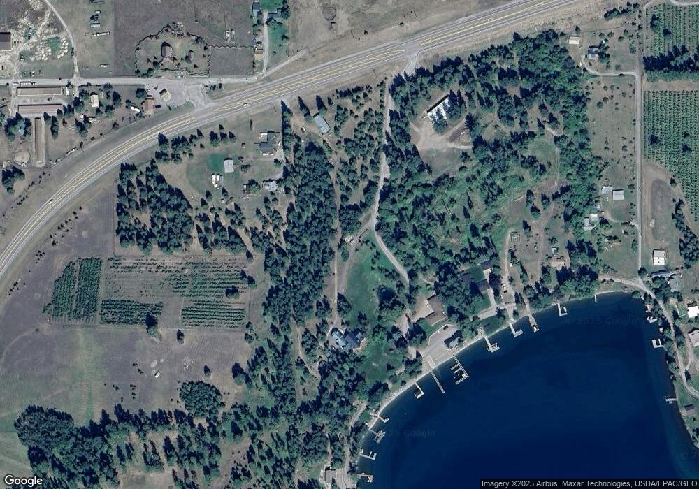
Map
Nearby Homes
- NHN U S 93
- 21439 Rollins Lakeshore Dr
- 20491 Wild Horse Ranch Rd
- 20805 Osprey Loop
- 21208 Osprey Loop
- 41957 Big Lodge Ln
- 41322 Mello Cove Ln
- 42112 Juniper Shores Ln
- 39270 Running Rock Ln
- NHN Liddell Ln
- 25802 Old Highway 93
- 43401 D St
- NHN Benchmark Dr
- 23xxx Yellowbell Ln
- 23201 Yellowbell Ln
- 23747 7th St
- 45214 Lake Mary Ronan Rd
- 82420 U S 93
- 100 & 104 Deep Bay Dr
- Old US Hwy 93 Lot 1b
- 1033 Rollins Lakeshore Dr
- 1011 Rollins Lakeshore Dr
- 971 Rollins Lakeshore Dr
- 930 Rollins Lakeshore Dr
- 22395 Rollins Lakeshore Dr
- 901 Rollins Lakeshore Dr
- 22189 Rollins Lakeshore Dr
- 1119 Rollins Lakeshore Dr
- 1083 Rollins Lakeshore Dr
- NHN Hwy 93 S
- 795 Rollins Lakeshore Dr
- 87925 U S 93
- 87925 Hwy 93
- 22571 Us Highway 93 S
- 22571 U S 93
- 731 Rollins Lakeshore Dr
- 22756 Highway 93 S
- 40644 Mongrain
- 22563 Rollins Lakeshore Dr
- 22563 Rollins Lakeshore Dr
Your Personal Tour Guide
Ask me questions while you tour the home.