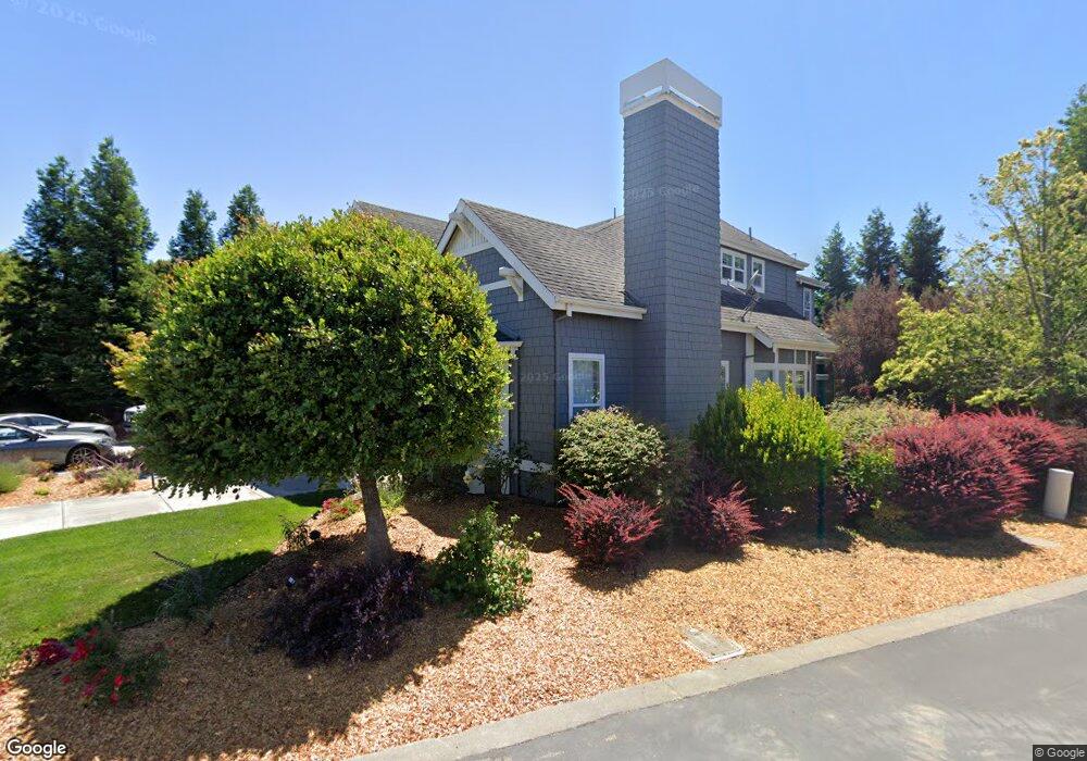
1033 Samuel Dr Petaluma, CA 94952
Oakhill Brewster NeighborhoodEstimated Value: $2,087,024 - $2,433,000
5
Beds
5
Baths
3,800
Sq Ft
$591/Sq Ft
Est. Value
About This Home
This home is located at 1033 Samuel Dr, Petaluma, CA 94952 and is currently estimated at $2,246,006, approximately $591 per square foot. 1033 Samuel Dr is a home located in Sonoma County with nearby schools including Petaluma Junior High School, Petaluma High School, and Mary Collins Charter School at Cherry Valley.
Ownership History
Date
Name
Owned For
Owner Type
Purchase Details
Closed on
May 21, 2021
Sold by
King Claire and King Jay
Bought by
King Jay and King Claire
Current Estimated Value
Home Financials for this Owner
Home Financials are based on the most recent Mortgage that was taken out on this home.
Original Mortgage
$1,062,000
Outstanding Balance
$960,932
Interest Rate
3%
Mortgage Type
New Conventional
Estimated Equity
$1,285,074
Purchase Details
Closed on
Apr 1, 2007
Sold by
King Jay A and King Claire M
Bought by
King Jay and King Claire
Purchase Details
Closed on
Feb 21, 2006
Sold by
Obrien At Magnolia Llc
Bought by
King Jay A and King Claire M
Home Financials for this Owner
Home Financials are based on the most recent Mortgage that was taken out on this home.
Original Mortgage
$1,000,000
Interest Rate
6.2%
Mortgage Type
Fannie Mae Freddie Mac
Create a Home Valuation Report for This Property
The Home Valuation Report is an in-depth analysis detailing your home's value as well as a comparison with similar homes in the area
Home Values in the Area
Average Home Value in this Area
Purchase History
| Date | Buyer | Sale Price | Title Company |
|---|---|---|---|
| King Jay | -- | Old Republic Title Company | |
| King Claire | -- | Old Republic Title Company | |
| King Jay | -- | None Available | |
| King Jay A | $1,303,500 | First American Title Co |
Source: Public Records
Mortgage History
| Date | Status | Borrower | Loan Amount |
|---|---|---|---|
| Open | King Claire | $1,062,000 | |
| Previous Owner | King Jay A | $1,000,000 |
Source: Public Records
Tax History Compared to Growth
Tax History
| Year | Tax Paid | Tax Assessment Tax Assessment Total Assessment is a certain percentage of the fair market value that is determined by local assessors to be the total taxable value of land and additions on the property. | Land | Improvement |
|---|---|---|---|---|
| 2025 | $18,841 | $1,781,188 | $819,942 | $961,246 |
| 2024 | $18,841 | $1,746,264 | $803,865 | $942,399 |
| 2023 | $18,841 | $1,712,024 | $788,103 | $923,921 |
| 2022 | $18,335 | $1,678,455 | $772,650 | $905,805 |
| 2021 | $17,204 | $1,493,000 | $687,000 | $806,000 |
| 2020 | $16,554 | $1,493,000 | $687,000 | $806,000 |
| 2019 | $17,147 | $1,541,000 | $709,000 | $832,000 |
| 2018 | $15,787 | $1,400,000 | $644,000 | $756,000 |
| 2017 | $15,096 | $1,334,000 | $614,000 | $720,000 |
| 2016 | $12,684 | $1,134,000 | $522,000 | $612,000 |
| 2015 | $12,511 | $1,128,000 | $519,000 | $609,000 |
| 2014 | $12,008 | $1,103,000 | $508,000 | $595,000 |
Source: Public Records
Map
Nearby Homes
- 1030 Samuel Dr
- 1073 Gossage Ave
- 1029 Samuel Dr
- 1067 Gossage Ave
- 1026 Samuel Dr
- 1025 Samuel Dr
- 1224 Kathileen Way
- 1220 Kathileen Way
- 1022 Samuel Dr
- 1021 Samuel Dr
- 951 Gossage Ave
- 1216 Kathileen Way
- 1189 Gossage Ave
- 1079 Gossage Ave
- 1061 Gossage Ave
- 1212 Kathileen Way
- 1017 Samuel Dr
- 953 Gossage Ave
- 1208 Kathileen Way
- 1018 Samuel Dr