1033 Tristram Cir Unit 1033 Mantua, NJ 08051
Mantua Township NeighborhoodEstimated Value: $182,034 - $206,000
--
Bed
--
Bath
742
Sq Ft
$267/Sq Ft
Est. Value
About This Home
This home is located at 1033 Tristram Cir Unit 1033, Mantua, NJ 08051 and is currently estimated at $197,759, approximately $266 per square foot. 1033 Tristram Cir Unit 1033 is a home located in Gloucester County with nearby schools including Centre City School, Clearview Regional Middle School, and Clearview Regional High School.
Ownership History
Date
Name
Owned For
Owner Type
Purchase Details
Closed on
Oct 5, 2021
Sold by
Selvaggi Lauren M and Estate Of Marvin C Frisby Jr
Bought by
Selvaggi Lauren M
Current Estimated Value
Purchase Details
Closed on
Sep 15, 1995
Sold by
Berkley Associates Llc
Bought by
Frisby Marvin E
Create a Home Valuation Report for This Property
The Home Valuation Report is an in-depth analysis detailing your home's value as well as a comparison with similar homes in the area
Home Values in the Area
Average Home Value in this Area
Purchase History
| Date | Buyer | Sale Price | Title Company |
|---|---|---|---|
| Selvaggi Lauren M | -- | None Available | |
| Frisby Marvin E | $59,990 | -- |
Source: Public Records
Tax History Compared to Growth
Tax History
| Year | Tax Paid | Tax Assessment Tax Assessment Total Assessment is a certain percentage of the fair market value that is determined by local assessors to be the total taxable value of land and additions on the property. | Land | Improvement |
|---|---|---|---|---|
| 2025 | $4,056 | $157,500 | $50,000 | $107,500 |
| 2024 | $4,013 | $157,500 | $50,000 | $107,500 |
| 2023 | $4,013 | $157,500 | $50,000 | $107,500 |
| 2022 | $3,498 | $100,000 | $40,000 | $60,000 |
| 2021 | $3,524 | $100,000 | $40,000 | $60,000 |
| 2020 | $3,496 | $100,000 | $40,000 | $60,000 |
| 2019 | $3,437 | $100,000 | $40,000 | $60,000 |
| 2018 | $3,388 | $100,000 | $40,000 | $60,000 |
| 2017 | $3,337 | $100,000 | $40,000 | $60,000 |
| 2016 | $3,299 | $100,000 | $40,000 | $60,000 |
| 2015 | $3,743 | $116,300 | $40,000 | $76,300 |
| 2014 | $3,617 | $116,300 | $40,000 | $76,300 |
Source: Public Records
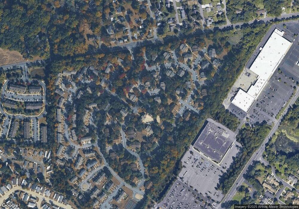
Map
Nearby Homes
- 1147 Tristram Cir Unit 1147
- 1145 Tristram Cir
- 1215 Tristram Cir
- 1134 Tristram Cir Unit 4
- 1433 Tristram Cir
- 205 Redbud Ln Unit 205
- 19 Marathon Dr
- 433 Berkley Rd
- 8 Barry Dr
- 261 Tony Cir
- 325 Bridgeton Pike
- 106 Firth Dr
- 131 Firth Dr
- 204 W Landing Rd
- 75 Hickory Ave
- 465 Berkley Rd
- 190 Mockingbird Ln
- 485 Harrison Ave
- 119 Monroe Ave
- 36 Bluebird Rd
- 1032 Tristram Cir
- 1031 Tristram Cir
- 1034 Tristram Cir Unit 4
- 1030 Tristram Cir Unit 1030O
- 1035 Tristram Cir
- 1037 Tristram Cir Unit 7
- 1036 Tristram Cir Unit 6
- 1047 Tristram Cir
- 1040 Tristram Cir
- 1046 Tristram Cir Unit 6
- 1041 Tristram Cir Unit 1
- 1045 Tristram Cir
- 1042 Tristram Cir Unit 2
- 1044 Tristram Cir Unit 4
- 1266 Tristram Cir Unit 1260
- 1265 Tristram Cir Unit 1265
- 1267 Tristram Cir Unit 1267
- 1260 Tristram Cir Unit 1260
- 1264 Tristram Cir Unit 1264
- 1013 Tristram Cir