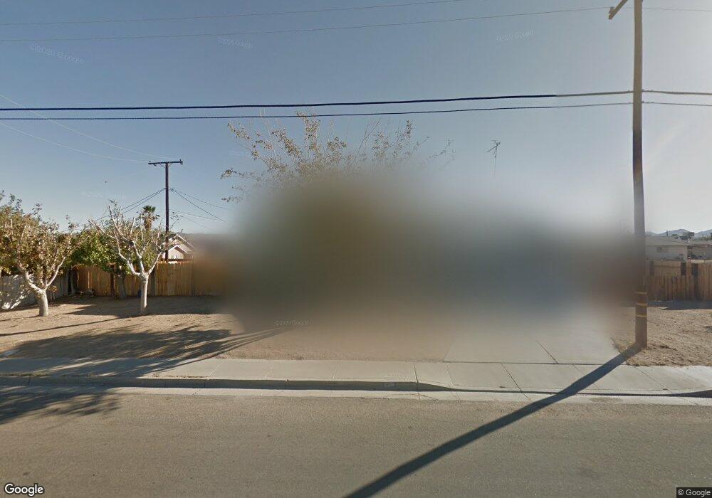
1033 W Vulcan Ave Ridgecrest, CA 93555
Estimated Value: $204,000 - $274,000
3
Beds
2
Baths
1,353
Sq Ft
$173/Sq Ft
Est. Value
About This Home
This home is located at 1033 W Vulcan Ave, Ridgecrest, CA 93555 and is currently estimated at $234,299, approximately $173 per square foot. 1033 W Vulcan Ave is a home located in Kern County with nearby schools including Faller Elementary School, James Monroe Middle School, and Burroughs High School.
Ownership History
Date
Name
Owned For
Owner Type
Purchase Details
Closed on
Dec 11, 2001
Sold by
Pitman Joseph C and Pitman Dion P
Bought by
Pitman Dion P
Current Estimated Value
Purchase Details
Closed on
Aug 21, 1997
Sold by
Smith Geoffrey L and Smith Christine L
Bought by
Pitman Joseph C and Pitman Dion P
Purchase Details
Closed on
May 30, 1996
Sold by
Smith Ronald Drew and Smith Melinda B
Bought by
Smith Geoffrey L and Smith Christine L
Home Financials for this Owner
Home Financials are based on the most recent Mortgage that was taken out on this home.
Original Mortgage
$57,270
Interest Rate
8.03%
Mortgage Type
FHA
Create a Home Valuation Report for This Property
The Home Valuation Report is an in-depth analysis detailing your home's value as well as a comparison with similar homes in the area
Home Values in the Area
Average Home Value in this Area
Purchase History
| Date | Buyer | Sale Price | Title Company |
|---|---|---|---|
| Pitman Dion P | -- | -- | |
| Pitman Joseph C | -- | First American Title Co | |
| Smith Geoffrey L | -- | First American Title Co |
Source: Public Records
Mortgage History
| Date | Status | Borrower | Loan Amount |
|---|---|---|---|
| Previous Owner | Smith Geoffrey L | $57,270 |
Source: Public Records
Tax History Compared to Growth
Tax History
| Year | Tax Paid | Tax Assessment Tax Assessment Total Assessment is a certain percentage of the fair market value that is determined by local assessors to be the total taxable value of land and additions on the property. | Land | Improvement |
|---|---|---|---|---|
| 2025 | $1,521 | $89,223 | $3,175 | $86,048 |
| 2024 | $1,521 | $87,474 | $3,113 | $84,361 |
| 2023 | $1,481 | $85,759 | $3,052 | $82,707 |
| 2022 | $1,451 | $84,079 | $2,993 | $81,086 |
| 2021 | $1,387 | $82,432 | $2,935 | $79,497 |
| 2020 | $1,350 | $81,587 | $2,905 | $78,682 |
| 2019 | $1,332 | $81,587 | $2,905 | $78,682 |
| 2018 | $1,421 | $78,422 | $2,794 | $75,628 |
| 2017 | $1,417 | $76,886 | $2,740 | $74,146 |
| 2016 | $1,372 | $75,380 | $2,687 | $72,693 |
| 2015 | $1,350 | $74,249 | $2,647 | $71,602 |
| 2014 | $1,226 | $72,796 | $2,596 | $70,200 |
Source: Public Records
Map
Nearby Homes
- 509-090-25 W Vulcan Ave
- 509-090-26 W Vulcan Ave
- 917 S Yorktown St
- 0 S Yorktown St
- 1020 S Farragut St
- 927 W Vulcan Ave
- 921 Porter St
- 0 Apn 08120213001 Unit 9993264
- 509-090-30 Bowman Rd
- 343-351-01 Bowman Rd
- 343-351-07 Bowman Rd
- 1 W Bowman Rd
- 0 W Perch Ave Unit 15 250035441
- 1304 Porter St
- 0 W Coronado Ave Unit 25003301
- 0 W Coronado Ave Unit SR25097540
- 0 S Mahan St Unit 202408514
- 0 S Mahan St Unit 25008398
- 0 S Mahan St Unit 2607773
- 0 S Mahan St Unit 2607771
- 908 S Mccall St
- 913 S Yorktown St
- 921 S Yorktown St
- 1000 W Vulcan Ave
- 1032 W Vulcan Ave
- 925 S Yorktown St
- 917 S Mccall St
- 1016 W Vulcan Ave
- 1036 W Vulcan Ave
- 1028 W Vulcan Ave
- 913 S Mccall St
- 1040 W Vulcan Ave
- 923 S Mccall St
- 929 S Yorktown St
- 1020 W Vulcan Ave
- 1044 W Vulcan Ave
- 081-181-05 W Vulcan Ave
- 1144 W Vulcan Ave
- 081-202-05 W Vulcan Ave
- 906 W Vulcan Ave