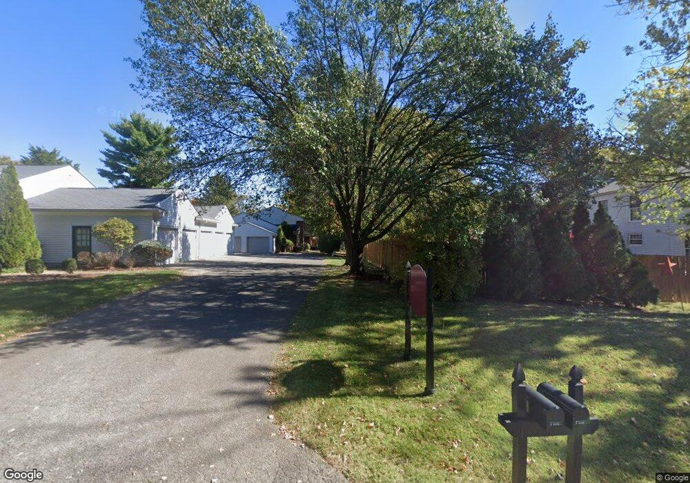
1033 Whetstone Way Unit 1A Louisville, KY 40223
Estimated Value: $222,825 - $264,000
2
Beds
2
Baths
1,321
Sq Ft
$181/Sq Ft
Est. Value
About This Home
This home is located at 1033 Whetstone Way Unit 1A, Louisville, KY 40223 and is currently estimated at $239,706, approximately $181 per square foot. 1033 Whetstone Way Unit 1A is a home located in Jefferson County with nearby schools including Middletown Elementary School, Bowen Elementary School, and Greathouse Shryock Traditional Elementary School.
Ownership History
Date
Name
Owned For
Owner Type
Purchase Details
Closed on
Jan 9, 2014
Sold by
Walters Raissa Ann and Walters Glenn Robert
Bought by
Walters Raissa Ann and Walters Glenn Robert
Current Estimated Value
Purchase Details
Closed on
Apr 28, 2010
Sold by
Woofter Edna R
Bought by
Raatz Raissa Ann
Home Financials for this Owner
Home Financials are based on the most recent Mortgage that was taken out on this home.
Original Mortgage
$107,500
Outstanding Balance
$71,664
Interest Rate
4.94%
Mortgage Type
New Conventional
Estimated Equity
$168,042
Create a Home Valuation Report for This Property
The Home Valuation Report is an in-depth analysis detailing your home's value as well as a comparison with similar homes in the area
Home Values in the Area
Average Home Value in this Area
Purchase History
| Date | Buyer | Sale Price | Title Company |
|---|---|---|---|
| Walters Raissa Ann | -- | None Available | |
| Raatz Raissa Ann | $127,500 | None Available |
Source: Public Records
Mortgage History
| Date | Status | Borrower | Loan Amount |
|---|---|---|---|
| Open | Raatz Raissa Ann | $107,500 |
Source: Public Records
Tax History Compared to Growth
Tax History
| Year | Tax Paid | Tax Assessment Tax Assessment Total Assessment is a certain percentage of the fair market value that is determined by local assessors to be the total taxable value of land and additions on the property. | Land | Improvement |
|---|---|---|---|---|
| 2024 | $1,236 | $155,000 | $0 | $155,000 |
| 2023 | $1,258 | $155,000 | $0 | $155,000 |
| 2022 | $1,480 | $132,100 | $0 | $132,100 |
| 2021 | $1,150 | $132,100 | $0 | $132,100 |
| 2020 | $1,069 | $132,100 | $0 | $132,100 |
| 2019 | $1,048 | $132,100 | $0 | $132,100 |
| 2018 | $132 | $132,100 | $0 | $132,100 |
| 2017 | $992 | $132,100 | $0 | $132,100 |
| 2013 | $1,382 | $138,240 | $0 | $138,240 |
Source: Public Records
Map
Nearby Homes
- 1006 Burning Springs Dr Unit 2E
- 10505 Burns Ct Unit 43
- 1303 Limestone Trace
- 749 Yorkwood Place Unit 25U
- 806 Nottingham Pkwy
- 754 Yorkwood Place Unit 101
- 642 Cambridge Station Rd
- 1212 Inverary Ct Unit 7
- 622 Cambridge Station Rd
- 1110 Marquis Trace
- 713 Cadogan Ct
- 616 Cambridge Station Rd
- 10218 Falling Tree Way
- 10405 Croswell Trace
- 10308 Amy Lynn Ct
- 511 Pennyroyal Way
- 9104 Linn Station Rd
- 1212 Rock Falls Trace
- 10612 Edgewater Rd
- 9537 Wessex Place
- 1035 Whetstone Way
- 1040 Burning Springs Cir
- 1040 Burning Springs Cir Unit 3C
- 1038 Burning Springs Cir
- 1038 Burning Springs Cir
- 9903 Timberwood Cir
- 1031 Whetstone Way Unit 5A
- 1029 Whetstone Way
- 1021 Whetstone Way
- 1019 Whetstone Way
- 1027 Whetstone Way
- 1026 Burning Springs Cir Unit 2C
- 9901 Timberwood Cir
- 1036 Burning Springs Cir
- 9905 Timberwood Cir
- 1025 Whetstone Way Unit 2C
- 1034 Burning Springs Cir
- 1028 Burning Springs Cir Unit 1C
- 1032 Burning Springs Cir
- 1032 Burning Springs Cir Unit 3C