10330 State Route 682 Athens, OH 45701
Estimated Value: $428,874 - $515,000
3
Beds
3
Baths
3,200
Sq Ft
$148/Sq Ft
Est. Value
About This Home
This home is located at 10330 State Route 682, Athens, OH 45701 and is currently estimated at $473,719, approximately $148 per square foot. 10330 State Route 682 is a home located in Athens County with nearby schools including West Elementary School, Athens Middle School, and Athens High School.
Ownership History
Date
Name
Owned For
Owner Type
Purchase Details
Closed on
Jun 18, 2003
Sold by
Mullins Robert K
Bought by
Howman Janice L and Howman Timothy L
Current Estimated Value
Purchase Details
Closed on
Mar 29, 1999
Sold by
Williams Edison Scott
Bought by
Mullins Robert K
Purchase Details
Closed on
Aug 18, 1997
Sold by
Williams Edison Scott
Bought by
Williams Edison Scott
Create a Home Valuation Report for This Property
The Home Valuation Report is an in-depth analysis detailing your home's value as well as a comparison with similar homes in the area
Home Values in the Area
Average Home Value in this Area
Purchase History
| Date | Buyer | Sale Price | Title Company |
|---|---|---|---|
| Howman Janice L | $165,500 | -- | |
| Mullins Robert K | $20,000 | -- | |
| Williams Edison Scott | -- | -- |
Source: Public Records
Tax History Compared to Growth
Tax History
| Year | Tax Paid | Tax Assessment Tax Assessment Total Assessment is a certain percentage of the fair market value that is determined by local assessors to be the total taxable value of land and additions on the property. | Land | Improvement |
|---|---|---|---|---|
| 2024 | $5,698 | $100,180 | $16,950 | $83,230 |
| 2023 | $5,412 | $100,180 | $16,950 | $83,230 |
| 2022 | $4,628 | $80,990 | $14,350 | $66,640 |
| 2021 | $4,646 | $80,990 | $14,350 | $66,640 |
| 2020 | $4,520 | $80,990 | $14,350 | $66,640 |
| 2019 | $4,399 | $77,500 | $12,340 | $65,160 |
| 2018 | $4,259 | $77,500 | $12,340 | $65,160 |
| 2017 | $7,197 | $77,500 | $12,340 | $65,160 |
| 2016 | $3,733 | $71,710 | $11,220 | $60,490 |
| 2015 | $7,098 | $71,710 | $11,220 | $60,490 |
| 2014 | $7,098 | $71,710 | $11,220 | $60,490 |
| 2013 | $6,177 | $63,970 | $11,220 | $52,750 |
Source: Public Records
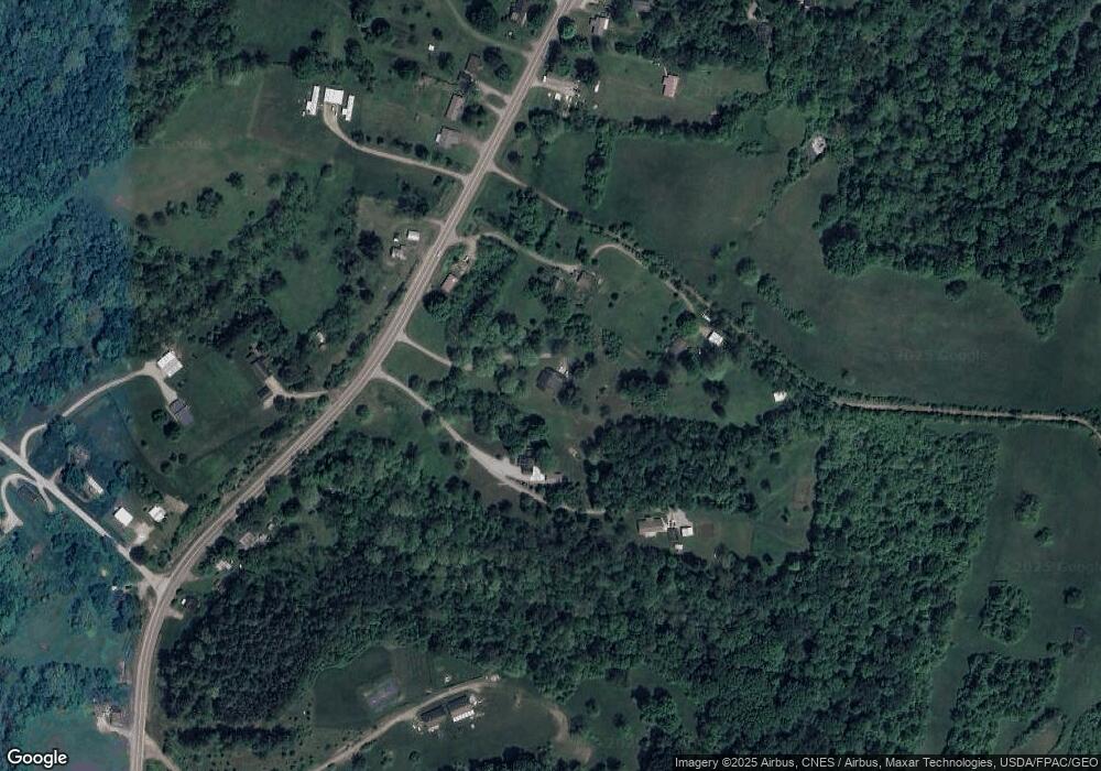
Map
Nearby Homes
- 10639 Ohio 682
- 10639 State Route 682
- 115 University Estates Blvd
- 8175 Vore Ridge Rd
- 0 S Plains Rd
- 4-20 Beech Rd
- 0 Carol Ln Unit 2433046
- 0 Shady Ln
- 7 W 2nd St
- 36 Johnson Rd
- 550 W Union St
- 0 Luhrig Rd
- 5 Oak St
- 98 Central Ave
- 56.15/15.5 Central & Clark
- 8850 Lavelle Rd
- 15 S Shafer St Unit 1509
- 15 S Shafer St Unit 303
- 10 1st St
- 214 W State St
- 10304 State Route 682
- 10380 State Route 682
- 10390 State Route 682
- 10302 State Route 682
- 210 N Plains Rd
- 10295 State Route 682
- 10423 Ohio 682
- 10450 State Route 682
- 10441 State Route 682
- 10204 State Route 682
- 10198 State Route 682
- 10485 State Route 682
- 10242 Porter Ln
- 10242 Porter Ln
- 10522 State Route 682
- 10522 Ohio 682
- 10570 Ohio 682
- 10558 Ohio 682
- 10515 State Route 682
- 10176 State Route 682