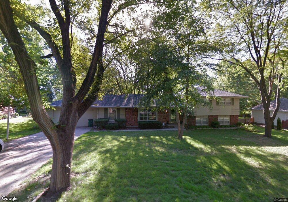
10333 Wenonga Ln Leawood, KS 66206
Estimated Value: $591,000 - $638,000
5
Beds
3
Baths
1,825
Sq Ft
$337/Sq Ft
Est. Value
About This Home
This home is located at 10333 Wenonga Ln, Leawood, KS 66206 and is currently estimated at $614,756, approximately $336 per square foot. 10333 Wenonga Ln is a home located in Johnson County with nearby schools including Brookwood Elementary School, Shawnee Mission South High School, and Indian Woods Middle School.
Ownership History
Date
Name
Owned For
Owner Type
Purchase Details
Closed on
Mar 24, 2004
Sold by
Sumey Paul M and Sumey Lois K
Bought by
Harte Robert W and Harte Adlynn K
Current Estimated Value
Home Financials for this Owner
Home Financials are based on the most recent Mortgage that was taken out on this home.
Original Mortgage
$196,000
Interest Rate
4.94%
Mortgage Type
Purchase Money Mortgage
Create a Home Valuation Report for This Property
The Home Valuation Report is an in-depth analysis detailing your home's value as well as a comparison with similar homes in the area
Home Values in the Area
Average Home Value in this Area
Purchase History
| Date | Buyer | Sale Price | Title Company |
|---|---|---|---|
| Harte Robert W | -- | -- | |
| Harte Robert W | -- | Security Land Title Company |
Source: Public Records
Mortgage History
| Date | Status | Borrower | Loan Amount |
|---|---|---|---|
| Closed | Harte Robert W | $196,000 |
Source: Public Records
Tax History
| Year | Tax Paid | Tax Assessment Tax Assessment Total Assessment is a certain percentage of the fair market value that is determined by local assessors to be the total taxable value of land and additions on the property. | Land | Improvement |
|---|---|---|---|---|
| 2025 | $6,835 | $66,654 | $25,368 | $41,286 |
| 2024 | $6,835 | $64,527 | $23,061 | $41,466 |
| 2023 | $6,910 | $64,688 | $23,061 | $41,627 |
| 2022 | $5,270 | $51,198 | $20,057 | $31,141 |
| 2021 | $5,267 | $47,472 | $18,238 | $29,234 |
| 2020 | $4,918 | $43,700 | $16,588 | $27,112 |
| 2019 | $4,649 | $41,435 | $15,085 | $26,350 |
| 2018 | $3,846 | $34,224 | $13,709 | $20,515 |
| 2017 | $4,008 | $35,086 | $12,461 | $22,625 |
| 2016 | $3,923 | $33,914 | $9,965 | $23,949 |
| 2015 | $3,847 | $33,523 | $9,965 | $23,558 |
| 2013 | -- | $31,510 | $9,055 | $22,455 |
Source: Public Records
Map
Nearby Homes
- 10332 Cherokee Ln
- 2700 W 104th Terrace
- 10316 Howe Dr
- 10301 Howe Dr
- 2309 W 104th St
- 10505 Belinder Rd
- 10315 High Dr
- 2301 W 103rd St
- 9815 Belinder Rd
- 9919 High Dr
- 2615 W 98th St
- 4001 W 126th St
- 3905 W 101st Terrace
- 2341 W 98th St
- 9815 Overbrook Rd
- 10308 Granada Ln
- 9643 High Dr
- 9622 Sagamore Rd
- 9804 Holly St
- 11425 Canterbury Cir
- 10329 Wenonga Ln
- 10337 Wenonga Ln
- 10340 Cherokee Ln
- 10336 Cherokee Ln
- 10332 Wenonga Ln
- 10328 Wenonga Ln
- 10344 Cherokee Ln
- 10341 Wenonga Ln
- 10325 Wenonga Ln
- 10336 Wenonga Ln
- 10328 Cherokee Ln
- 10348 Cherokee Ln
- 10324 Cherokee Ln
- 10321 Wenonga Ln
- 10331 Pawnee Ln
- 10340 Wenonga Ln
- 10333 Pawnee Ln
- 10401 Wenonga Ln
- 10341 Cherokee Ln
- 10337 Cherokee Ln
Your Personal Tour Guide
Ask me questions while you tour the home.