10338 Cook Rd Unit 338 Houston, TX 77099
Alief NeighborhoodEstimated Value: $169,000 - $203,000
3
Beds
3
Baths
1,472
Sq Ft
$122/Sq Ft
Est. Value
About This Home
This home is located at 10338 Cook Rd Unit 338, Houston, TX 77099 and is currently estimated at $179,459, approximately $121 per square foot. 10338 Cook Rd Unit 338 is a home located in Harris County with nearby schools including Kennedy Elementary School, Holub Middle School, and Mata Intermediate School.
Ownership History
Date
Name
Owned For
Owner Type
Purchase Details
Closed on
Jun 18, 2025
Sold by
Vannguyen Tuyet and Dinh Rung G
Bought by
Dinh Chinh Dung
Current Estimated Value
Purchase Details
Closed on
May 22, 1996
Sold by
Hicks Marie Dolores and Meidling Marie Dolores
Bought by
Nguyen Van Tuyet and Dinh Rung G
Home Financials for this Owner
Home Financials are based on the most recent Mortgage that was taken out on this home.
Original Mortgage
$29,600
Interest Rate
7.93%
Create a Home Valuation Report for This Property
The Home Valuation Report is an in-depth analysis detailing your home's value as well as a comparison with similar homes in the area
Home Values in the Area
Average Home Value in this Area
Purchase History
| Date | Buyer | Sale Price | Title Company |
|---|---|---|---|
| Dinh Chinh Dung | -- | None Listed On Document | |
| Nguyen Van Tuyet | -- | Texas American Title Company |
Source: Public Records
Mortgage History
| Date | Status | Borrower | Loan Amount |
|---|---|---|---|
| Previous Owner | Nguyen Van Tuyet | $29,600 |
Source: Public Records
Tax History Compared to Growth
Tax History
| Year | Tax Paid | Tax Assessment Tax Assessment Total Assessment is a certain percentage of the fair market value that is determined by local assessors to be the total taxable value of land and additions on the property. | Land | Improvement |
|---|---|---|---|---|
| 2025 | -- | $149,033 | $27,375 | $121,658 |
| 2024 | -- | $160,538 | $27,375 | $133,163 |
| 2023 | $3,004 | $160,538 | $27,375 | $133,163 |
| 2022 | $2,978 | $131,544 | $27,375 | $104,169 |
| 2021 | $2,841 | $119,677 | $27,375 | $92,302 |
| 2020 | $2,676 | $109,982 | $27,375 | $82,607 |
| 2019 | $2,553 | $99,681 | $27,375 | $72,306 |
| 2018 | $393 | $93,463 | $27,375 | $66,088 |
| 2017 | $2,088 | $97,881 | $18,597 | $79,284 |
| 2016 | $1,898 | $82,816 | $15,735 | $67,081 |
| 2015 | $274 | $82,816 | $15,735 | $67,081 |
| 2014 | $274 | $59,725 | $11,348 | $48,377 |
Source: Public Records
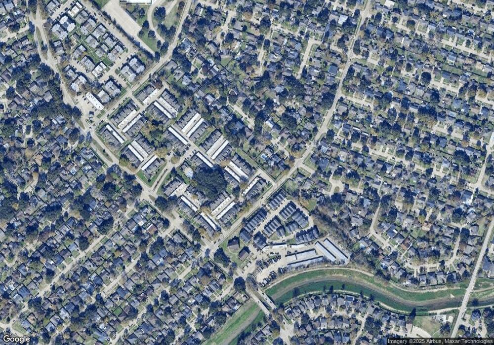
Map
Nearby Homes
- 10362 Cook Rd Unit 187
- 10366 Panther Point Dr
- 10355 Panther Point Dr
- 10327 Panther Point Dr
- 12419 Longbrook Dr
- 10325 Huntington Place Dr Unit 325
- 10327 Huntington Place Dr Unit 327
- 12510 Panther Place Dr
- 12166 Huntington Venture Dr
- 10518 Huntington Dale Dr
- 12623 S Dairy Ashford Rd
- 10534 Huntington Wood Dr
- 12122 Plumbrook Dr
- 12123 Plumpoint Dr
- 10530 Farmingham Dr
- 10602 Tenneta Dr
- 12346 Huntington Venture Dr
- 12431 Huntington Field Dr
- 12310 Pine Knoll Dr
- 12211 Pine Knoll Dr
- 10338 Cook Rd Unit 172
- 10340 Cook Rd Unit 340
- 10336 Cook Rd Unit 336
- 10336 Cook Rd
- 10342 Cook Rd Unit 342
- 10344 Cook Rd Unit 344
- 10356 Cook Rd Unit 356
- 10356 Cook Rd Unit 184
- 10346 Cook Rd Unit 346
- 10346 Cook Rd Unit 176
- 10324 Cook Rd
- 10324 Cook Rd Unit 166
- 10362 Cook Rd Unit 362
- 10326 Cook Rd Unit 326
- 10326 Cook Rd Unit 165
- 10322 Cook Rd Unit 322
- 10328 Cook Rd Unit 328
- 10360 Cook Rd
- 10358 Cook Rd Unit 358
- 10358 Cook Rd Unit 10358