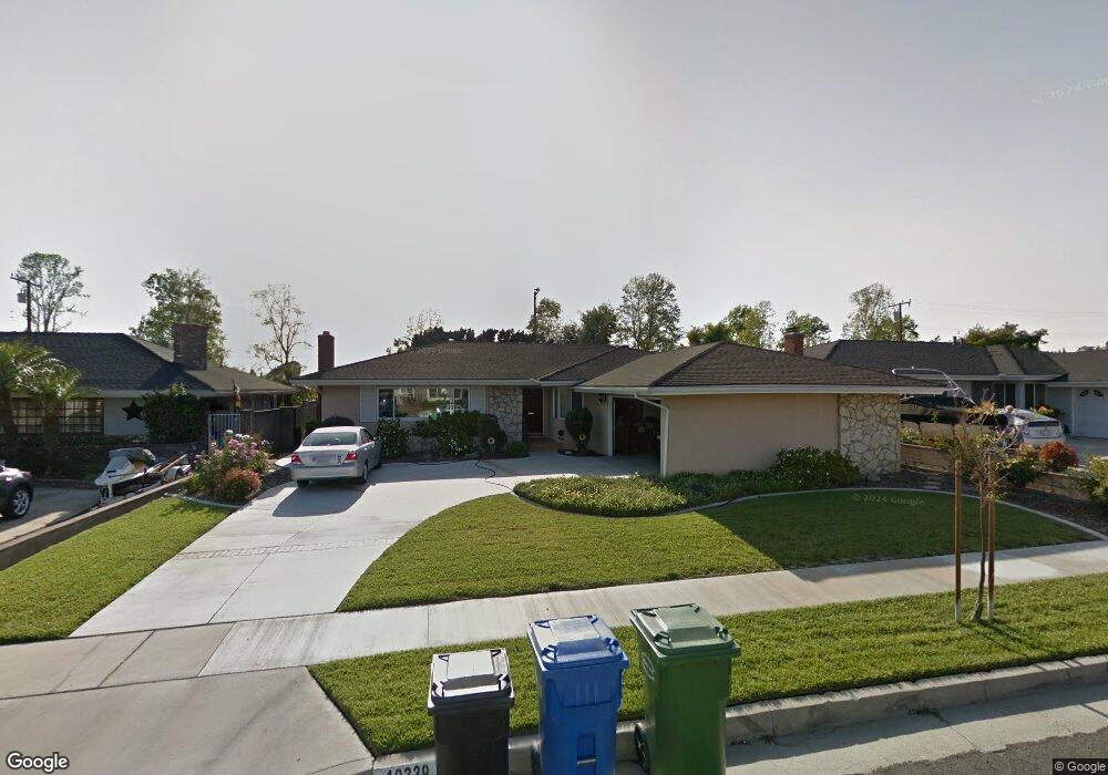
10339 Maybrook Ave Whittier, CA 90603
South Whittier NeighborhoodEstimated Value: $932,212 - $1,106,000
3
Beds
2
Baths
1,896
Sq Ft
$525/Sq Ft
Est. Value
About This Home
This home is located at 10339 Maybrook Ave, Whittier, CA 90603 and is currently estimated at $995,803, approximately $525 per square foot. 10339 Maybrook Ave is a home located in Los Angeles County with nearby schools including Macy Elementary School, Rancho-Starbuck Intermediate School, and La Habra High School.
Ownership History
Date
Name
Owned For
Owner Type
Purchase Details
Closed on
Jun 27, 2019
Sold by
Carlton Bonnie B
Bought by
Carlton Bonnie Brae and The Bonnie Brae Carlton Trust
Current Estimated Value
Purchase Details
Closed on
Sep 29, 2017
Sold by
Carlton Bonnie Brae
Bought by
Carlton Bonnie B
Home Financials for this Owner
Home Financials are based on the most recent Mortgage that was taken out on this home.
Original Mortgage
$954,225
Interest Rate
4.56%
Mortgage Type
Reverse Mortgage Home Equity Conversion Mortgage
Purchase Details
Closed on
Aug 13, 1999
Sold by
Wagner Patrick W and Wagner Sherryl L
Bought by
Wagner Patrick W and Wagner Sherry
Create a Home Valuation Report for This Property
The Home Valuation Report is an in-depth analysis detailing your home's value as well as a comparison with similar homes in the area
Home Values in the Area
Average Home Value in this Area
Purchase History
| Date | Buyer | Sale Price | Title Company |
|---|---|---|---|
| Carlton Bonnie Brae | -- | None Available | |
| Carlton Bonnie B | -- | Placer Title Company | |
| Wagner Patrick W | -- | -- |
Source: Public Records
Mortgage History
| Date | Status | Borrower | Loan Amount |
|---|---|---|---|
| Closed | Carlton Bonnie B | $954,225 |
Source: Public Records
Tax History
| Year | Tax Paid | Tax Assessment Tax Assessment Total Assessment is a certain percentage of the fair market value that is determined by local assessors to be the total taxable value of land and additions on the property. | Land | Improvement |
|---|---|---|---|---|
| 2025 | $2,440 | $164,649 | $51,805 | $112,844 |
| 2024 | $2,440 | $161,422 | $50,790 | $110,632 |
| 2023 | $2,390 | $158,258 | $49,795 | $108,463 |
| 2022 | $2,306 | $155,156 | $48,819 | $106,337 |
| 2021 | $2,384 | $152,114 | $47,862 | $104,252 |
| 2019 | $2,277 | $147,605 | $46,444 | $101,161 |
| 2018 | $2,106 | $144,712 | $45,534 | $99,178 |
| 2016 | $1,951 | $139,095 | $43,767 | $95,328 |
| 2015 | $1,887 | $137,007 | $43,110 | $93,897 |
| 2014 | $1,938 | $134,324 | $42,266 | $92,058 |
Source: Public Records
Map
Nearby Homes
- 16350 Shady Valley Ln
- 16540 Whittier Blvd
- 16540 Whittier Blvd Unit 6
- 16540 Whittier Blvd Unit 48
- 16540 Whittier Blvd Unit 2
- 10418 Bogardus Ave
- 16357 Lisco St
- 2401 Foxdale Ave
- 10540 Bogardus Ave
- 16635 Monte Oro Dr
- 510 Valley Home Ave
- 1436 La Riata Dr
- 10162 Grovedale Dr
- 411 Parsons St
- 9811 Capulet Ave
- 16875 Sausalito Dr
- 1586 Cloister Dr
- 1525 Bonnie Jean Ln
- 10813 1st Ave
- 1030 Vernon St
- 10333 Maybrook Ave
- 10347 Maybrook Ave
- 10340 Larrylyn Dr
- 10334 Larrylyn Dr
- 10327 Maybrook Ave
- 10355 Maybrook Ave
- 10346 Larrylyn Dr
- 10328 Larrylyn Dr
- 16535 Shady Valley Ln
- 10338 Maybrook Ave
- 10332 Maybrook Ave
- 10402 Larrylyn Dr
- 10322 Larrylyn Dr
- 10319 Maybrook Ave
- 10405 Maybrook Ave
- 10326 Maybrook Ave
- 16543 Shady Valley Ln
- 10408 Larrylyn Dr
- 10314 Larrylyn Dr
- 10318 Maybrook Ave
Your Personal Tour Guide
Ask me questions while you tour the home.