10339 N Airport Rd Clinton, OK 73601
Estimated Value: $177,000 - $231,000
4
Beds
2
Baths
2,692
Sq Ft
$76/Sq Ft
Est. Value
About This Home
This home is located at 10339 N Airport Rd, Clinton, OK 73601 and is currently estimated at $203,606, approximately $75 per square foot. 10339 N Airport Rd is a home located in Custer County with nearby schools including Nance Elementary School, Southwest Elementary School, and Clinton Middle School.
Ownership History
Date
Name
Owned For
Owner Type
Purchase Details
Closed on
May 16, 2000
Sold by
Linda Schmidt
Bought by
James Ernest Mc Kay
Current Estimated Value
Create a Home Valuation Report for This Property
The Home Valuation Report is an in-depth analysis detailing your home's value as well as a comparison with similar homes in the area
Home Values in the Area
Average Home Value in this Area
Purchase History
| Date | Buyer | Sale Price | Title Company |
|---|---|---|---|
| James Ernest Mc Kay | $50,000 | -- |
Source: Public Records
Tax History Compared to Growth
Tax History
| Year | Tax Paid | Tax Assessment Tax Assessment Total Assessment is a certain percentage of the fair market value that is determined by local assessors to be the total taxable value of land and additions on the property. | Land | Improvement |
|---|---|---|---|---|
| 2025 | $1,209 | $11,307 | $1,917 | $9,390 |
| 2024 | $1,092 | $10,977 | $1,861 | $9,116 |
| 2023 | $1,092 | $10,658 | $1,683 | $8,975 |
| 2022 | $898 | $10,348 | $1,510 | $8,838 |
| 2021 | $853 | $10,046 | $1,342 | $8,704 |
| 2020 | $842 | $9,754 | $1,179 | $8,575 |
| 2019 | $812 | $9,470 | $1,020 | $8,450 |
| 2018 | $779 | $9,194 | $1,020 | $8,174 |
| 2017 | $745 | $8,926 | $1,020 | $7,906 |
| 2016 | $717 | $8,666 | $1,020 | $7,646 |
| 2015 | $688 | $8,414 | $1,020 | $7,394 |
| 2014 | $648 | $8,169 | $1,020 | $7,149 |
Source: Public Records
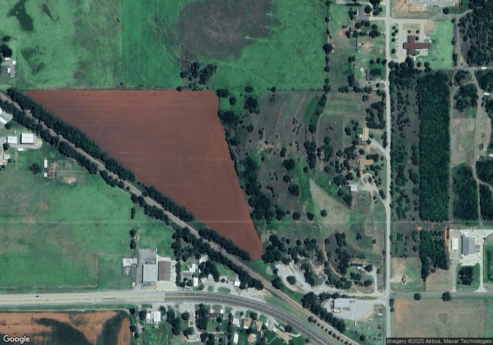
Map
Nearby Homes
- 0 Turtle Creek
- 604 N 3rd St
- 605 S 5th St
- 323 N 8th St
- 614 S 6th St
- 600 Opal Ave Unit LOT
- 921 Dunn Ave
- 511 S 9th St
- 404 S 9th St
- 1125 Blackstone Ave
- 412 S 11th St
- 527 S 11th St
- 1201 Blackstone Ave
- 616 S 11th St
- 22676 Route 66 N
- 1030 Circle Dr
- 409 S 15th St
- 1509 Orient Ave
- 1419 Pine Ave
- 1004 Scissortail Dr
- 10333 N Airport Rd
- 10317 N Airport Rd
- 10317 N Airport Rd
- 10313 N Airport Rd
- 10311 N Airport Rd
- 10311 N 2270 Rd
- 22678 Route 66 N
- 10307 Airport Rd
- 10365 N 2270 Rd
- 22671 N Rural Clinton Route
- 10303 N Airport Rd
- 22702 Route 66 N
- 22690 E 1030 Rd
- 22680 E 1030 Rd
- 22728 E 1035 Rd
- 22697 E 1030 Rd
- 22674 E 1030 Rd
- 22681 E 1030 Rd
- 10291 N Airport Rd
- 10332 N 2265 Rd