1034 Angel Point Rd Lakeside, MT 59922
Estimated Value: $2,560,551 - $4,617,000
3
Beds
4
Baths
3,376
Sq Ft
$983/Sq Ft
Est. Value
About This Home
This home is located at 1034 Angel Point Rd, Lakeside, MT 59922 and is currently estimated at $3,318,888, approximately $983 per square foot. 1034 Angel Point Rd is a home located in Flathead County with nearby schools including Lakeside Elementary School, Somers Middle School, and Flathead High School.
Ownership History
Date
Name
Owned For
Owner Type
Purchase Details
Closed on
Jul 1, 2021
Sold by
Leishman David and Leishman Janet
Bought by
1028 Angel Point Llc
Current Estimated Value
Home Financials for this Owner
Home Financials are based on the most recent Mortgage that was taken out on this home.
Original Mortgage
$3,240,000
Outstanding Balance
$2,939,798
Interest Rate
2.9%
Mortgage Type
Commercial
Estimated Equity
$379,090
Purchase Details
Closed on
Aug 3, 2012
Sold by
Pugh Terry D
Bought by
Leishman David and Leishman Janet
Home Financials for this Owner
Home Financials are based on the most recent Mortgage that was taken out on this home.
Original Mortgage
$1,599,000
Interest Rate
3.99%
Mortgage Type
Adjustable Rate Mortgage/ARM
Create a Home Valuation Report for This Property
The Home Valuation Report is an in-depth analysis detailing your home's value as well as a comparison with similar homes in the area
Home Values in the Area
Average Home Value in this Area
Purchase History
| Date | Buyer | Sale Price | Title Company |
|---|---|---|---|
| 1028 Angel Point Llc | -- | Fidelity National Title | |
| Leishman David | -- | Insured Titles |
Source: Public Records
Mortgage History
| Date | Status | Borrower | Loan Amount |
|---|---|---|---|
| Open | 1028 Angel Point Llc | $3,240,000 | |
| Previous Owner | Leishman David | $1,599,000 |
Source: Public Records
Tax History Compared to Growth
Tax History
| Year | Tax Paid | Tax Assessment Tax Assessment Total Assessment is a certain percentage of the fair market value that is determined by local assessors to be the total taxable value of land and additions on the property. | Land | Improvement |
|---|---|---|---|---|
| 2025 | $12,331 | $2,271,300 | $0 | $0 |
| 2024 | $8,450 | $1,610,200 | $0 | $0 |
| 2023 | $8,519 | $1,610,200 | $0 | $0 |
| 2022 | $7,805 | $1,125,700 | $0 | $0 |
| 2021 | $8,252 | $1,125,700 | $0 | $0 |
| 2020 | $8,120 | $1,045,760 | $0 | $0 |
| 2019 | $8,009 | $1,045,760 | $0 | $0 |
| 2018 | $8,620 | $1,075,850 | $0 | $0 |
| 2017 | $7,941 | $1,075,850 | $0 | $0 |
| 2016 | $7,199 | $1,015,970 | $0 | $0 |
| 2015 | $7,466 | $1,015,970 | $0 | $0 |
| 2014 | $7,528 | $643,783 | $0 | $0 |
Source: Public Records
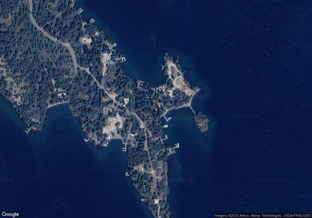
Map
Nearby Homes
- 207 Angel Point Preserve
- 168 Angel Point Preserve
- 268 Tamarack Terrace Rd
- 272 Tamarack Terrace Rd
- 253 Tamarack Terrace
- 36 Angel Ridge Rd
- 100 & 104 Deep Bay Dr
- 500 Conrad Point Rd
- NHN Benchmark Dr
- 458 Political Hill Rd
- 480 Political Hill Rd
- 360 Ridge Line Dr
- 100 Political Hill Rd
- 103 Tamarack Woods Dr
- 39270 Running Rock Ln
- 149 Monet Rd
- 207 Stoner Loop Unit A
- 381 Lakeside Blvd
- 212 Bierney Creek Rd
- 124 Woodacres Dr
- 1028 Angel Point Rd
- 1035 Angel Point Rd
- 1036 Angel Point Rd
- 1029 Angel Point Rd
- 1021 Angel Point Rd
- 1055 Angel Point Rd
- Nhn Angel Point Rd
- 1050 Angel Point Rd
- 1040 Angel Point Rd
- 1041 Angel Point Rd
- 1020 Angel Point Rd
- 1020 Angel Point Rd Unit 1050, 1060
- 1009 Angel Point Rd
- 1065 Angel Point Rd
- 1070 Angel Point Rd
- 982 Angel Point Rd
- 1005 Angel Point Rd
- 1080 Angel Point Rd
- 960 Angel Point Rd
- 1095 Angel Point Rd