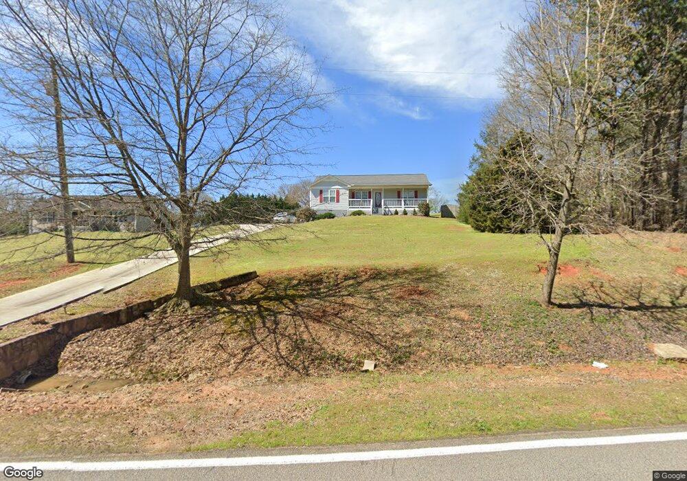
1034 Garrison Rd Carnesville, GA 30521
Estimated Value: $240,086 - $284,000
3
Beds
2
Baths
1,335
Sq Ft
$199/Sq Ft
Est. Value
About This Home
This home is located at 1034 Garrison Rd, Carnesville, GA 30521 and is currently estimated at $266,022, approximately $199 per square foot. 1034 Garrison Rd is a home located in Franklin County with nearby schools including Franklin County High School.
Ownership History
Date
Name
Owned For
Owner Type
Purchase Details
Closed on
Sep 9, 2009
Sold by
Secretary Of Housing & Urban Deve\
Bought by
Vento Patricia and Vento Anthony
Current Estimated Value
Home Financials for this Owner
Home Financials are based on the most recent Mortgage that was taken out on this home.
Original Mortgage
$78,820
Outstanding Balance
$51,626
Interest Rate
5.22%
Mortgage Type
FHA
Estimated Equity
$214,396
Purchase Details
Closed on
Mar 3, 2009
Sold by
Roden Richard
Bought by
Citimortgage Inc
Create a Home Valuation Report for This Property
The Home Valuation Report is an in-depth analysis detailing your home's value as well as a comparison with similar homes in the area
Home Values in the Area
Average Home Value in this Area
Purchase History
| Date | Buyer | Sale Price | Title Company |
|---|---|---|---|
| Vento Patricia | $73,000 | -- | |
| Citimortgage Inc | $89,409 | -- | |
| Citimortgage Inc | $89,409 | -- |
Source: Public Records
Mortgage History
| Date | Status | Borrower | Loan Amount |
|---|---|---|---|
| Open | Vento Patricia | $78,820 |
Source: Public Records
Tax History Compared to Growth
Tax History
| Year | Tax Paid | Tax Assessment Tax Assessment Total Assessment is a certain percentage of the fair market value that is determined by local assessors to be the total taxable value of land and additions on the property. | Land | Improvement |
|---|---|---|---|---|
| 2024 | $1,055 | $64,336 | $12,500 | $51,836 |
| 2023 | $1,022 | $59,624 | $12,500 | $47,124 |
| 2022 | $912 | $55,340 | $12,500 | $42,840 |
| 2021 | $774 | $48,130 | $10,000 | $38,130 |
| 2020 | $1,060 | $48,130 | $10,000 | $38,130 |
| 2019 | $1,024 | $48,130 | $10,000 | $38,130 |
| 2018 | $899 | $43,464 | $10,000 | $33,464 |
| 2017 | $935 | $43,464 | $10,000 | $33,464 |
| 2016 | $583 | $29,965 | $3,200 | $26,765 |
| 2015 | -- | $29,964 | $3,200 | $26,765 |
| 2014 | -- | $29,965 | $3,200 | $26,765 |
| 2013 | -- | $30,617 | $3,200 | $27,417 |
Source: Public Records
Map
Nearby Homes
- 14 Kristy Ln
- 262 Garrison Rd
- 150 Garrison Rd
- 0 Falcon Ln Unit 10495019
- 0 Falcon Ln Unit 1024877
- 4001 Highway 198
- 6343 Georgia 198
- 4638 Highway 63
- 0 Banks Academy Rd Unit 10636762
- 2205 Highway 51 N
- 0 Poplar Mountain Ln
- 108 Indigo Cir
- 340 Mcfarlin Blvd
- 2526 Prospect Rd
- 2630 Prospect Rd
- 135 Canters Run
- 2090 Southern Seed Way
- 0 Old Federal Rd Unit 6931372
- 125 Lewis Crump Rd
- LOT 10 Bent Tree Rd
- 980 Garrison Rd
- 1062 Garrison Rd
- 1082 Garrison Rd
- 220 Kesler Rd
- 1088 Garrison Rd
- 1130 Garrison Rd
- 211 Poole Rd
- 870 Garrison Rd
- 464 Poole Rd
- 13888 Old Federal Rd
- 721 Garrison Rd
- 14081 Old Federal Rd
- 130 Poole Rd
- 13707 Old Federal Rd
- 13700 Old Federal Rd
- 591 Kesler Rd
- 172 Magnolia Ln
- 587 Garrison Rd
- 244 Magnolia Ln
- 0 Garrison Rd Unit 3170329