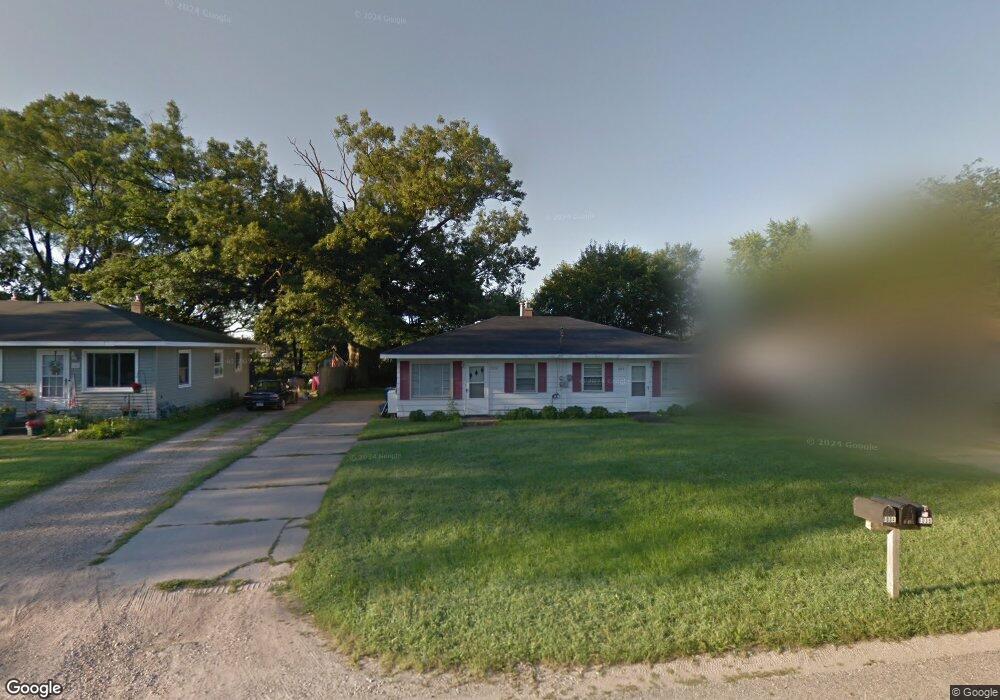
1034 Koster St Unit 1036 Jenison, MI 49428
Estimated Value: $277,000 - $305,000
4
Beds
1
Bath
1,408
Sq Ft
$207/Sq Ft
Est. Value
About This Home
This home is located at 1034 Koster St Unit 1036, Jenison, MI 49428 and is currently estimated at $291,725, approximately $207 per square foot. 1034 Koster St Unit 1036 is a home located in Ottawa County with nearby schools including Bursley School, Jenison Junior High School, and Jenison High School.
Ownership History
Date
Name
Owned For
Owner Type
Purchase Details
Closed on
Oct 29, 2015
Sold by
Dick & Jane Properties Llc
Bought by
Visser Ricky Lee and Visser Cynthia T
Current Estimated Value
Purchase Details
Closed on
May 21, 2013
Sold by
Leslie Richard J and Leslie Jane E
Bought by
Dick & Jane Properties Llc
Purchase Details
Closed on
Dec 14, 2012
Sold by
Dick & Jane Properties Llc
Bought by
Leslie Richard J and Leslie Jane E
Purchase Details
Closed on
Jan 18, 2003
Sold by
Leslie Richard J and Leslie Jane E
Bought by
Leslie Richard J and Leslie Jane E
Create a Home Valuation Report for This Property
The Home Valuation Report is an in-depth analysis detailing your home's value as well as a comparison with similar homes in the area
Home Values in the Area
Average Home Value in this Area
Purchase History
| Date | Buyer | Sale Price | Title Company |
|---|---|---|---|
| Visser Ricky Lee | $100,000 | None Available | |
| Dick & Jane Properties Llc | -- | None Available | |
| Leslie Richard J | -- | None Available | |
| Leslie Richard J | -- | Metropolitan Title Company |
Source: Public Records
Tax History Compared to Growth
Tax History
| Year | Tax Paid | Tax Assessment Tax Assessment Total Assessment is a certain percentage of the fair market value that is determined by local assessors to be the total taxable value of land and additions on the property. | Land | Improvement |
|---|---|---|---|---|
| 2025 | $2,869 | $96,800 | $0 | $0 |
| 2024 | $2,638 | $101,600 | $0 | $0 |
| 2023 | $2,515 | $86,100 | $0 | $0 |
| 2022 | $2,607 | $83,600 | $0 | $0 |
| 2021 | $2,484 | $77,300 | $0 | $0 |
| 2020 | $2,461 | $64,700 | $0 | $0 |
| 2019 | $2,472 | $61,700 | $0 | $0 |
| 2018 | $2,347 | $55,200 | $0 | $0 |
| 2017 | $2,301 | $53,200 | $0 | $0 |
| 2016 | $2,295 | $50,000 | $0 | $0 |
| 2015 | $2,022 | $48,500 | $0 | $0 |
| 2014 | $2,022 | $47,700 | $0 | $0 |
Source: Public Records
Map
Nearby Homes
- 950 Brentwood St
- 1101 Robin St
- 7450 Boulder Bluff Dr Unit 66
- 7450 Boulder Bluff Dr Unit 61
- 1241 S Marymark Dr
- 7482 Louise Ave
- 7425 Boulder Bluff Dr Unit 112
- 893 Baldwin St
- 7523 Boulder Bluff Dr Unit 82
- 7665 Sally Dr
- 6451 12th Ave
- 6516 Andre's Crossing
- 6501 Andre's Crossing Unit 14
- 1306 Carol Dr
- 1361 Carol Dr
- 1050 Village Ln
- 1433 Winifred St
- 7107 Westwood Dr
- 7314 Pinegrove Dr
- 7444 Pinegrove Dr Unit 59
- 1034 Koster St
- 1044 Koster St
- 1020 Koster St
- 1010 Koster St
- 1056 Koster St
- 1035 Koster St
- 1070 Koster St
- 1023 Koster St
- 1023 Koster St Unit 1025
- 1047 Koster St
- 7125 10th Ave
- 1057 Koster St
- 0 Koster St
- 10231025 Koster St
- 1082 Koster St
- 7110 10th Ave
- 7110 10th Ave Unit 7112
- 7126 10th Ave
- 7126 10th Ave Unit 7128
- 1083 Koster St