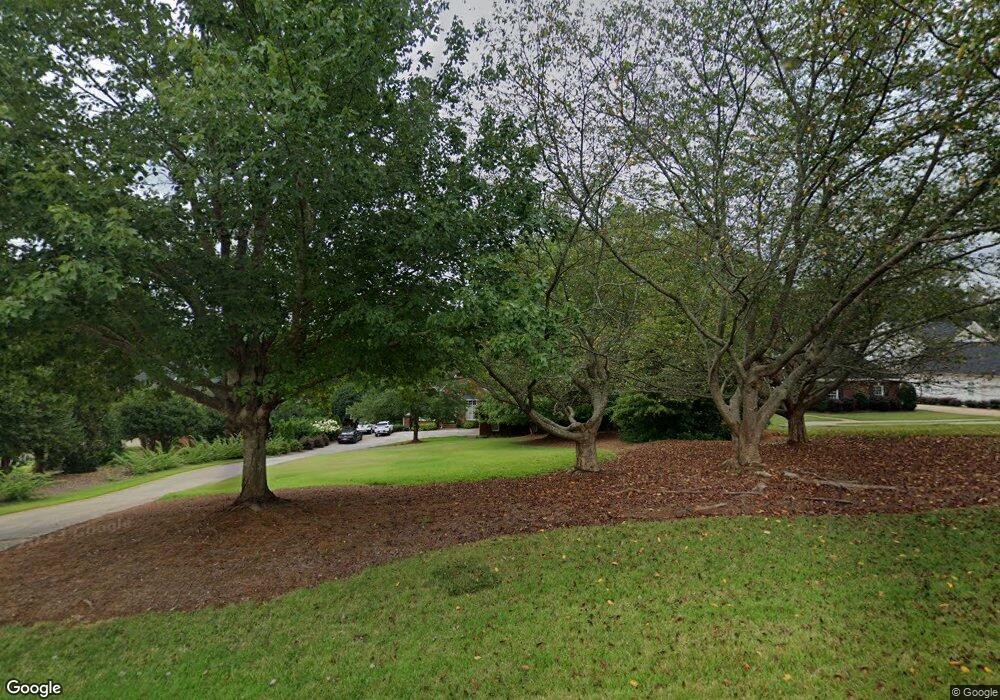
1034 N Shore Dr Anderson, SC 29625
Estimated Value: $794,000 - $1,148,000
4
Beds
--
Bath
3,903
Sq Ft
$248/Sq Ft
Est. Value
About This Home
This home is located at 1034 N Shore Dr, Anderson, SC 29625 and is currently estimated at $969,764, approximately $248 per square foot. 1034 N Shore Dr is a home located in Anderson County with nearby schools including Pendleton High School.
Ownership History
Date
Name
Owned For
Owner Type
Purchase Details
Closed on
Apr 23, 2021
Sold by
White Betty J and Betty W Pegg Revocable Trust
Bought by
Baldauff Michael J
Current Estimated Value
Home Financials for this Owner
Home Financials are based on the most recent Mortgage that was taken out on this home.
Original Mortgage
$600,000
Outstanding Balance
$541,727
Interest Rate
3%
Mortgage Type
Purchase Money Mortgage
Estimated Equity
$428,037
Purchase Details
Closed on
Jul 12, 2007
Sold by
Pegg Johnny M
Bought by
Pegg Betty W
Purchase Details
Closed on
Aug 13, 1999
Sold by
Woodfern Estates Inc
Bought by
Thompson Swain N
Create a Home Valuation Report for This Property
The Home Valuation Report is an in-depth analysis detailing your home's value as well as a comparison with similar homes in the area
Home Values in the Area
Average Home Value in this Area
Purchase History
| Date | Buyer | Sale Price | Title Company |
|---|---|---|---|
| Baldauff Michael J | $600,000 | None Available | |
| Pegg Betty W | -- | None Available | |
| Thompson Swain N | $120,000 | -- |
Source: Public Records
Mortgage History
| Date | Status | Borrower | Loan Amount |
|---|---|---|---|
| Open | Baldauff Michael J | $600,000 |
Source: Public Records
Tax History Compared to Growth
Tax History
| Year | Tax Paid | Tax Assessment Tax Assessment Total Assessment is a certain percentage of the fair market value that is determined by local assessors to be the total taxable value of land and additions on the property. | Land | Improvement |
|---|---|---|---|---|
| 2024 | $4,556 | $29,730 | $12,040 | $17,690 |
| 2023 | $4,556 | $29,730 | $12,040 | $17,690 |
| 2022 | $14,148 | $44,600 | $18,070 | $26,530 |
| 2021 | $2,652 | $24,520 | $7,440 | $17,080 |
| 2020 | $2,617 | $24,520 | $7,440 | $17,080 |
| 2019 | $2,617 | $24,520 | $7,440 | $17,080 |
| 2018 | $2,638 | $24,520 | $7,440 | $17,080 |
| 2017 | -- | $36,780 | $11,160 | $25,620 |
| 2016 | $2,269 | $24,420 | $7,800 | $16,620 |
| 2015 | $2,287 | $24,420 | $7,800 | $16,620 |
| 2014 | $2,371 | $24,420 | $7,800 | $16,620 |
Source: Public Records
Map
Nearby Homes
- 1003 Fallon Ln
- 1002 Fallon Ln
- 2411 Watkins Road Extension
- 2409 Watkins Rd Unit Extension
- 2407 Watkins Rd Ext Rd
- 111 Appian Way
- 1402 Leeward Rd
- 1403 Leeward Rd
- 1702 Leeward Rd
- 2112 Portside Way Unit E302
- 2014 Driftwood Way
- 2012 Driftwood Way
- 5914 Old Pearman Dairy Rd
- 1422 Hunters Trail
- 205 Nautique Ct
- Lot 23 Fisher Rd
- 1310 Hunters Trail
- 1035 George Smith Mill Rd
- 5990 Old Pearman Dairy Rd
- 1033 George Smith Mill Rd
- 1032 N Shore Dr
- 1036 N Shore Dr
- 1030 N Shore Dr
- 1038 N Shore Dr
- 1028 N Shore Dr Unit Lot 31
- 1028 N Shore Dr
- 1040 N Shore Dr Unit Lot 25
- 1040 N Shore Dr
- 1017 N Shore Dr
- 1042 N Shore Dr
- 2025 N Shore Dr
- 1044 N Shore Dr
- 1046 N Shore Dr
- 1022 N Shore Dr
- 0 Fallon Ln
- 1020 N Shore Dr
- 2415 Watkins Road Extension
- 2413 Watkins Rd
- LOT 26 N Shore Dr
