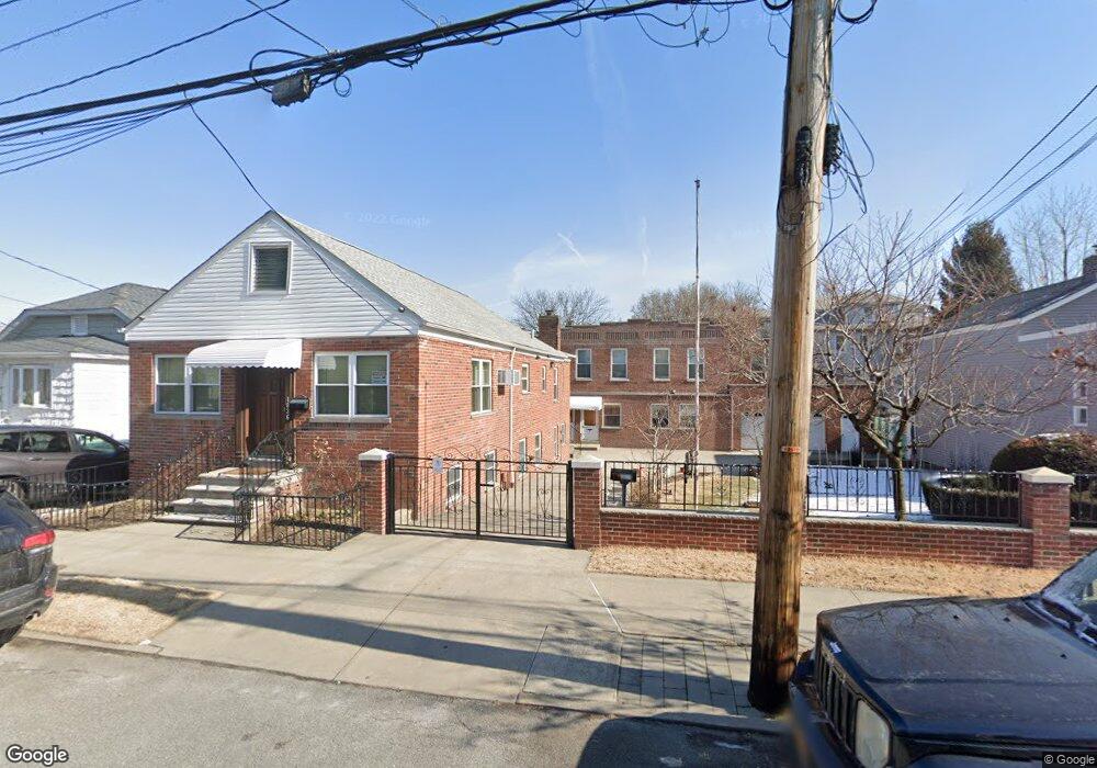
1034 Quincy Ave Unit 1036 Bronx, NY 10465
Throgs Neck-Edgewater Park NeighborhoodEstimated Value: $1,132,000 - $1,447,000
8
Beds
4
Baths
4,500
Sq Ft
$295/Sq Ft
Est. Value
About This Home
This home is located at 1034 Quincy Ave Unit 1036, Bronx, NY 10465 and is currently estimated at $1,329,527, approximately $295 per square foot. 1034 Quincy Ave Unit 1036 is a home located in Bronx County with nearby schools including P.S. 14 Senator John Calandra, Herbert H Lehman High School, and St Benedict School.
Ownership History
Date
Name
Owned For
Owner Type
Purchase Details
Closed on
Sep 24, 2021
Sold by
Viola Rosa and Viola Vittorio
Bought by
Akter Mossammat L and Akter Mossammat S
Current Estimated Value
Home Financials for this Owner
Home Financials are based on the most recent Mortgage that was taken out on this home.
Original Mortgage
$900,000
Outstanding Balance
$820,716
Interest Rate
2.8%
Mortgage Type
Purchase Money Mortgage
Estimated Equity
$508,811
Create a Home Valuation Report for This Property
The Home Valuation Report is an in-depth analysis detailing your home's value as well as a comparison with similar homes in the area
Home Values in the Area
Average Home Value in this Area
Purchase History
| Date | Buyer | Sale Price | Title Company |
|---|---|---|---|
| Akter Mossammat L | $1,200,000 | -- |
Source: Public Records
Mortgage History
| Date | Status | Borrower | Loan Amount |
|---|---|---|---|
| Open | Akter Mossammat L | $900,000 |
Source: Public Records
Tax History Compared to Growth
Tax History
| Year | Tax Paid | Tax Assessment Tax Assessment Total Assessment is a certain percentage of the fair market value that is determined by local assessors to be the total taxable value of land and additions on the property. | Land | Improvement |
|---|---|---|---|---|
| 2025 | $14,852 | $128,300 | $35,030 | $93,270 |
| 2024 | $14,852 | $118,797 | $38,905 | $79,892 |
| 2023 | $13,493 | $109,998 | $33,454 | $76,544 |
| 2022 | $12,462 | $310,950 | $109,350 | $201,600 |
| 2021 | $0 | $353,700 | $109,350 | $244,350 |
| 2020 | $11,663 | $387,000 | $109,350 | $277,650 |
| 2019 | $9,582 | $388,800 | $109,350 | $279,450 |
| 2018 | $10,115 | $84,614 | $28,557 | $56,057 |
| 2017 | $9,513 | $78,348 | $28,716 | $49,632 |
| 2016 | $4,434 | $78,348 | $31,211 | $47,137 |
| 2015 | $2,601 | $75,917 | $27,249 | $48,668 |
| 2014 | $2,601 | $70,294 | $30,286 | $40,008 |
Source: Public Records
Map
Nearby Homes
- 945 Swinton Ave
- 1009 Brinsmade Ave
- 1049 Huntington Ave
- 946 Balcom Ave
- 837 Swinton Ave
- 836 Revere Ave
- 831 Swinton Ave
- 2916 Sullivan Place
- 815 Swinton Ave
- 3021 Barkley Ave
- - Ave
- 2808 Philip Ave
- 854 Logan Ave
- 1239 Edison Ave
- 3014 Baisley Ave
- 840 Hollywood Ave
- 819 Hollywood Ave
- 755 Logan Ave
- 710 Revere Ave
- 1027 Throggmorton Ave
- 1034-1036 Quincy Ave
- 1028 Quincy Ave
- 1044 Quincy Ave
- 1024 Quincy Ave
- 1037 Calhoun Ave
- 1037 Calhoun Ave Unit HOUSE
- 1029 Calhoun Ave
- 1046 Quincy Ave
- 1039 Calhoun Ave
- 1025 Calhoun Ave
- 1041 Calhoun Ave
- 1016 Quincy Ave
- 1043 Calhoun Ave
- 1019 Calhoun Ave Unit 2
- 1019 Calhoun Ave
- 1037 Quincy Ave
- 1033 Quincy Ave
- 1017 Calhoun Ave
- 1052 Quincy Ave
- 1029 Quincy Ave