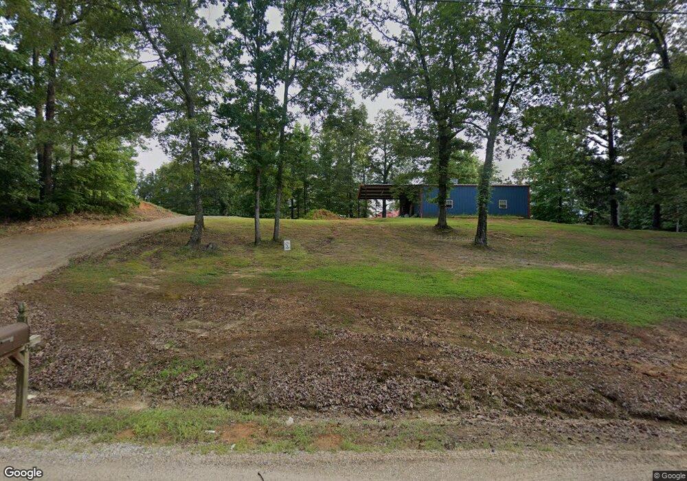
1034 Ranchland Rd Belden, MS 38826
Estimated Value: $290,853 - $435,000
Studio
2
Baths
2,221
Sq Ft
$168/Sq Ft
Est. Value
About This Home
This home is located at 1034 Ranchland Rd, Belden, MS 38826 and is currently estimated at $373,284, approximately $168 per square foot. 1034 Ranchland Rd is a home located in Pontotoc County.
Ownership History
Date
Name
Owned For
Owner Type
Purchase Details
Closed on
Apr 17, 2020
Sold by
Vandygriff Leslie P
Bought by
Vandygriff Derek
Current Estimated Value
Purchase Details
Closed on
Mar 26, 2018
Sold by
Vandygriff Derek and Vandygriff Leslie P
Bought by
Vandygriff Derek and Vandygriff Leslie P
Home Financials for this Owner
Home Financials are based on the most recent Mortgage that was taken out on this home.
Original Mortgage
$136,000
Interest Rate
4.4%
Mortgage Type
New Conventional
Purchase Details
Closed on
Jul 13, 2007
Sold by
Moffatt Barrie D and Moffatt Lois S
Bought by
Vandygriff Derek
Create a Home Valuation Report for This Property
The Home Valuation Report is an in-depth analysis detailing your home's value as well as a comparison with similar homes in the area
Purchase History
| Date | Buyer | Sale Price | Title Company |
|---|---|---|---|
| Vandygriff Derek | -- | None Available | |
| Vandygriff Derek | -- | -- | |
| Vandygriff Derek | -- | -- |
Source: Public Records
Mortgage History
| Date | Status | Borrower | Loan Amount |
|---|---|---|---|
| Previous Owner | Vandygriff Derek | $136,000 |
Source: Public Records
Tax History
| Year | Tax Paid | Tax Assessment Tax Assessment Total Assessment is a certain percentage of the fair market value that is determined by local assessors to be the total taxable value of land and additions on the property. | Land | Improvement |
|---|---|---|---|---|
| 2025 | $2,410 | $18,853 | $0 | $0 |
| 2024 | $2,410 | $18,853 | $0 | $0 |
| 2023 | $2,410 | $18,853 | $0 | $0 |
| 2022 | $1,818 | $16,567 | $0 | $0 |
| 2021 | $1,818 | $16,567 | $0 | $0 |
| 2020 | $2,118 | $16,567 | $0 | $0 |
| 2019 | $1,764 | $16,531 | $0 | $0 |
| 2018 | $281 | $2,249 | $0 | $0 |
| 2017 | $508 | $5,813 | $0 | $0 |
| 2016 | $508 | $5,813 | $0 | $0 |
| 2015 | $464 | $5,867 | $0 | $0 |
| 2014 | $464 | $5,867 | $0 | $0 |
Source: Public Records
Map
Nearby Homes
- 1275 League Creek Rd
- 0 Mule Pulling Rd
- Lot 12 Arbor Subdivision
- Lot 13 Arbor Subdivision
- Lot 11 Arbor Subdivision
- Lot 10 Arbor Subdivision
- Lot 9 Arbor Subdivision
- 2288 Chesterville Rd
- 880 Eads Creek Rd
- 1468 Eads Creek Rd
- 0 Timber Ln
- 1516 Eads Creek Rd
- 105 Brandywine Rd
- 1540 Eads Creek Rd
- 1598 Eads Creek Rd
- 131 County Road 1350
- 0 Timberlane Rd Unit 24-3652
- 1646 Eads Creek Rd
- 135 Road 1350
- 200 Endville Rd
- 1018 Ranchland Rd
- 1640 Ranchland Rd
- 1640 Ranchland Rd
- 1088 Ranchland Rd
- 184 Jim Dr
- 1674 Ranchland Rd
- 1674 Ranchland Rd
- 1015 Ranchland Rd
- 1700 Ranchland Rd
- 1602 Ranchland Rd
- 1035 Lake Rd
- 1196 Ranchland
- 80 Jim Dr
- 1031 Lake Rd
- 1031 Lake Rd
- 1484 Ranchland Rd
- 826 Ranchland Rd
- 885 Lake Rd
- 885 Lake Rd
- 1133 Lake Rd
Your Personal Tour Guide
Ask me questions while you tour the home.