10340 SW 61st St Topeka, KS 66610
Estimated Value: $465,000 - $601,023
4
Beds
3
Baths
1,894
Sq Ft
$280/Sq Ft
Est. Value
About This Home
This home is located at 10340 SW 61st St, Topeka, KS 66610 and is currently estimated at $531,256, approximately $280 per square foot. 10340 SW 61st St is a home located in Shawnee County with nearby schools including Auburn Elementary School, Washburn Rural Middle School, and Washburn Rural High School.
Ownership History
Date
Name
Owned For
Owner Type
Purchase Details
Closed on
Jan 30, 2013
Sold by
Hamilton Patricia E and Bankruptcy Estate Of Jon Stacy
Bought by
Collins William R and Collins Dia N
Current Estimated Value
Home Financials for this Owner
Home Financials are based on the most recent Mortgage that was taken out on this home.
Original Mortgage
$115,000
Outstanding Balance
$80,429
Interest Rate
3.42%
Mortgage Type
Future Advance Clause Open End Mortgage
Estimated Equity
$450,827
Purchase Details
Closed on
Apr 6, 2006
Sold by
Bears Curtis L and Hooper Bears Cynthia M
Bought by
Collins William R and Collins Dia N
Create a Home Valuation Report for This Property
The Home Valuation Report is an in-depth analysis detailing your home's value as well as a comparison with similar homes in the area
Home Values in the Area
Average Home Value in this Area
Purchase History
| Date | Buyer | Sale Price | Title Company |
|---|---|---|---|
| Collins William R | $125,000 | Lawyers Title Of Topeka Inc | |
| Collins William R | -- | Lawyers Title Of Topeka Inc |
Source: Public Records
Mortgage History
| Date | Status | Borrower | Loan Amount |
|---|---|---|---|
| Open | Collins William R | $115,000 |
Source: Public Records
Tax History Compared to Growth
Tax History
| Year | Tax Paid | Tax Assessment Tax Assessment Total Assessment is a certain percentage of the fair market value that is determined by local assessors to be the total taxable value of land and additions on the property. | Land | Improvement |
|---|---|---|---|---|
| 2025 | $8,382 | $62,155 | -- | -- |
| 2023 | $8,382 | $57,466 | $0 | $0 |
| 2022 | $6,071 | $45,017 | $0 | $0 |
| 2021 | $5,231 | $39,838 | $0 | $0 |
| 2020 | $4,881 | $37,941 | $0 | $0 |
| 2019 | $4,802 | $36,836 | $0 | $0 |
| 2018 | $4,357 | $35,763 | $0 | $0 |
| 2017 | $4,574 | $35,062 | $0 | $0 |
| 2014 | $4,583 | $34,374 | $0 | $0 |
Source: Public Records
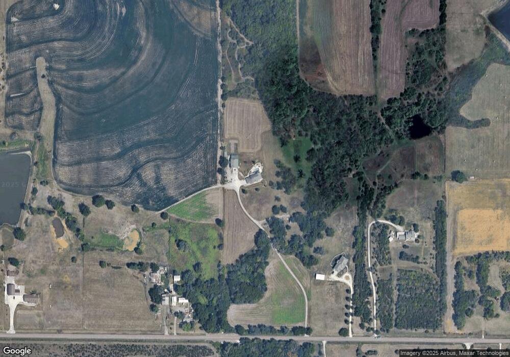
Map
Nearby Homes
- 0003 SW Hoch Rd
- 0001 SW Hoch Rd
- 0002 SW Hoch Rd
- 0004 SW Hoch Rd
- 0000 SW Gage Blvd
- 8435 Pickering St
- 0 SW 49th St Unit 24984487
- 0 SW 49th St Unit 24984495
- 26563 W 83rd Terrace
- 0000 SW 53rd St
- SW Hoch Rd
- SW Hoch Rd
- Tract 2 SW 79th St
- Tract 3 SW 79th St
- 6041 SW Auburn Rd
- 8618 SW 51st St
- 4200 SW Auburn Rd
- 4300 SW Auburn Rd
- 00000 SW Hoch Rd
- 4200-4300 SW Auburn Rd
- 10242 SW 61st St
- 10434 SW 61st St
- 10230 SW 61st St
- 10351 SW 61st St
- 10321 SW 61st St
- 10530 SW 61st St
- 10400 SW 61st St
- 10144 SW 61st St
- 10610 SW 61st St
- 10133 SW 61st St
- 5700 SW Valencia Rd
- 10626 SW 61st St
- 10500 SW 61st St
- 10121 SW 61st St
- 10031 SW 61st St
- 10640 SW 61st St
- 10147 SW 61st St
- 5642 SW Valencia Rd
- 6000 SW Valencia Rd
- 6000 SW Valencia Rd Unit Trct 9