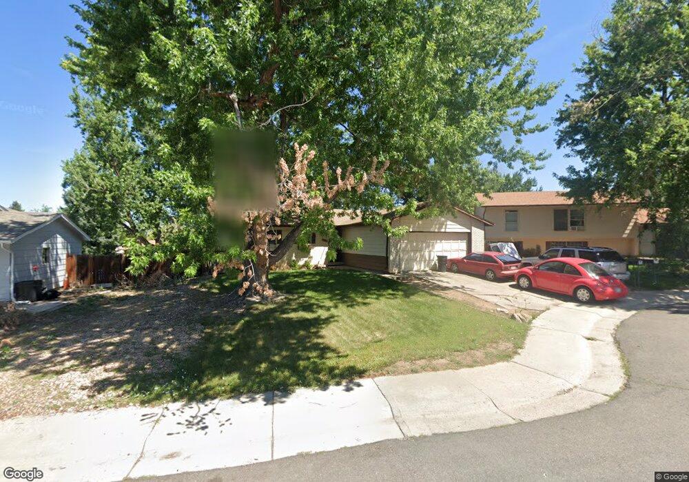
10345 W Lambuth Place Denver, CO 80235
Friendly Hills NeighborhoodEstimated Value: $513,000 - $551,000
3
Beds
3
Baths
1,170
Sq Ft
$455/Sq Ft
Est. Value
About This Home
This home is located at 10345 W Lambuth Place, Denver, CO 80235 and is currently estimated at $531,799, approximately $454 per square foot. 10345 W Lambuth Place is a home located in Jefferson County with nearby schools including Bear Creek K-8 School, Carmody Middle School, and Bear Creek High School.
Ownership History
Date
Name
Owned For
Owner Type
Purchase Details
Closed on
Dec 13, 2019
Sold by
Beeson Phyllis
Bought by
Beeson Randy and Beeson Kristen L
Current Estimated Value
Home Financials for this Owner
Home Financials are based on the most recent Mortgage that was taken out on this home.
Original Mortgage
$161,300
Outstanding Balance
$142,487
Interest Rate
3.7%
Mortgage Type
New Conventional
Estimated Equity
$389,312
Create a Home Valuation Report for This Property
The Home Valuation Report is an in-depth analysis detailing your home's value as well as a comparison with similar homes in the area
Home Values in the Area
Average Home Value in this Area
Purchase History
| Date | Buyer | Sale Price | Title Company |
|---|---|---|---|
| Beeson Randy | $205,000 | Heritage Title Company |
Source: Public Records
Mortgage History
| Date | Status | Borrower | Loan Amount |
|---|---|---|---|
| Open | Beeson Randy | $161,300 |
Source: Public Records
Tax History Compared to Growth
Tax History
| Year | Tax Paid | Tax Assessment Tax Assessment Total Assessment is a certain percentage of the fair market value that is determined by local assessors to be the total taxable value of land and additions on the property. | Land | Improvement |
|---|---|---|---|---|
| 2024 | $2,882 | $29,425 | $10,832 | $18,593 |
| 2023 | $2,882 | $29,425 | $10,832 | $18,593 |
| 2022 | $2,466 | $24,719 | $8,870 | $15,849 |
| 2021 | $2,497 | $25,431 | $9,126 | $16,305 |
| 2020 | $2,140 | $21,842 | $6,824 | $15,018 |
| 2019 | $2,113 | $21,842 | $6,824 | $15,018 |
| 2018 | $2,000 | $19,961 | $7,333 | $12,628 |
| 2017 | $1,825 | $19,961 | $7,333 | $12,628 |
| 2016 | $1,566 | $16,523 | $5,506 | $11,017 |
| 2015 | $1,456 | $16,523 | $5,506 | $11,017 |
| 2014 | $1,456 | $14,404 | $5,672 | $8,732 |
Source: Public Records
Map
Nearby Homes
- 10441 W Lehigh Ave
- 10362 W Lehigh Ave
- 10600 W Girard Ave
- 10351 W Girton Dr Unit 2
- 10467 W Hampden Ave Unit 204
- 3353 S Newcombe St
- 3343 S Newcombe St
- 3317 S Nelson St
- 2501 S Kipling St
- 3299 S Newcombe St
- 10561 W Dartmouth Ave
- 9862 W Rice Ave
- 3354 S Flower St Unit 85
- 3354 S Flower St Unit 52
- 3355 S Flower St Unit 106
- 3355 S Flower St Unit 74
- 3355 S Flower St Unit 166
- 3243 S Holland Way
- 4339 S Independence Ct
- 4415 S Johnson Ct
- 10365 W Lambuth Place
- 10325 W Lambuth Place
- 3733 S Lewis Ct
- 10305 W Lambuth Place
- 10385 W Lambuth Place
- 3727 S Lewis Ct
- 10366 W Lambuth Place
- 3736 S Lewis Ct
- 10326 W Lambuth Place
- 10386 W Lambuth Place
- 10346 W Lambuth Place
- 3723 S Lee Ct
- 3743 S Lee Ct
- 10405 W Lambuth Place
- 3713 S Lee Ct
- 3753 S Lee Ct
- 10406 W Lambuth Place
- 10354 W Kenyon Dr
- 3763 S Lee Ct
- 10374 W Kenyon Dr