10346 Baker Ave NW Monticello, MN 55362
Estimated Value: $675,000 - $744,676
3
Beds
2
Baths
1,201
Sq Ft
$588/Sq Ft
Est. Value
About This Home
This home is located at 10346 Baker Ave NW, Monticello, MN 55362 and is currently estimated at $706,169, approximately $587 per square foot. 10346 Baker Ave NW is a home located in Wright County with nearby schools including Pinewood Elementary School, Monticello Middle School, and Monticello Senior High School.
Ownership History
Date
Name
Owned For
Owner Type
Purchase Details
Closed on
Sep 26, 2025
Sold by
Shelquist Peter D and Shelquist Kelly L
Bought by
Skies Limit Llc
Current Estimated Value
Purchase Details
Closed on
May 1, 2024
Sold by
Bakke Richard and Bakke Alice
Bought by
Shelquist Peter and Shelquist Kelly
Purchase Details
Closed on
Jul 2, 2020
Sold by
Hicks William W
Bought by
Bakke Alice and Bakke Richard
Home Financials for this Owner
Home Financials are based on the most recent Mortgage that was taken out on this home.
Original Mortgage
$388,000
Interest Rate
3.1%
Mortgage Type
New Conventional
Purchase Details
Closed on
Mar 30, 2017
Sold by
Binstock Properties Llc
Bought by
Hicks Irrevocable Descendants Trust
Purchase Details
Closed on
Jul 22, 2011
Sold by
Gibson Bonnita L
Bought by
Binstock Properties Llc
Create a Home Valuation Report for This Property
The Home Valuation Report is an in-depth analysis detailing your home's value as well as a comparison with similar homes in the area
Home Values in the Area
Average Home Value in this Area
Purchase History
| Date | Buyer | Sale Price | Title Company |
|---|---|---|---|
| Skies Limit Llc | $75,000 | Central Land Title | |
| Shelquist Peter | $730,000 | -- | |
| Bakke Alice | $501,000 | Central Land Title | |
| Hicks Irrevocable Descendants Trust | -- | Minnesota Title | |
| Binstock Properties Llc | -- | Minnesota Title | |
| Binstock Properties Llc | $229,000 | -- |
Source: Public Records
Mortgage History
| Date | Status | Borrower | Loan Amount |
|---|---|---|---|
| Previous Owner | Bakke Alice | $388,000 |
Source: Public Records
Tax History Compared to Growth
Tax History
| Year | Tax Paid | Tax Assessment Tax Assessment Total Assessment is a certain percentage of the fair market value that is determined by local assessors to be the total taxable value of land and additions on the property. | Land | Improvement |
|---|---|---|---|---|
| 2025 | $6,612 | $691,700 | $429,600 | $262,100 |
| 2024 | $5,964 | $702,300 | $429,800 | $272,500 |
| 2023 | $5,454 | $647,200 | $377,300 | $269,900 |
| 2022 | $4,514 | $539,700 | $298,500 | $241,200 |
| 2021 | $4,266 | $449,000 | $232,900 | $216,100 |
| 2020 | $3,930 | $401,000 | $198,900 | $202,100 |
| 2019 | $3,762 | $392,800 | $0 | $0 |
| 2018 | $3,450 | $362,200 | $0 | $0 |
| 2017 | $3,516 | $344,100 | $0 | $0 |
| 2016 | $3,684 | $0 | $0 | $0 |
| 2015 | $3,762 | $0 | $0 | $0 |
| 2014 | -- | $0 | $0 | $0 |
Source: Public Records
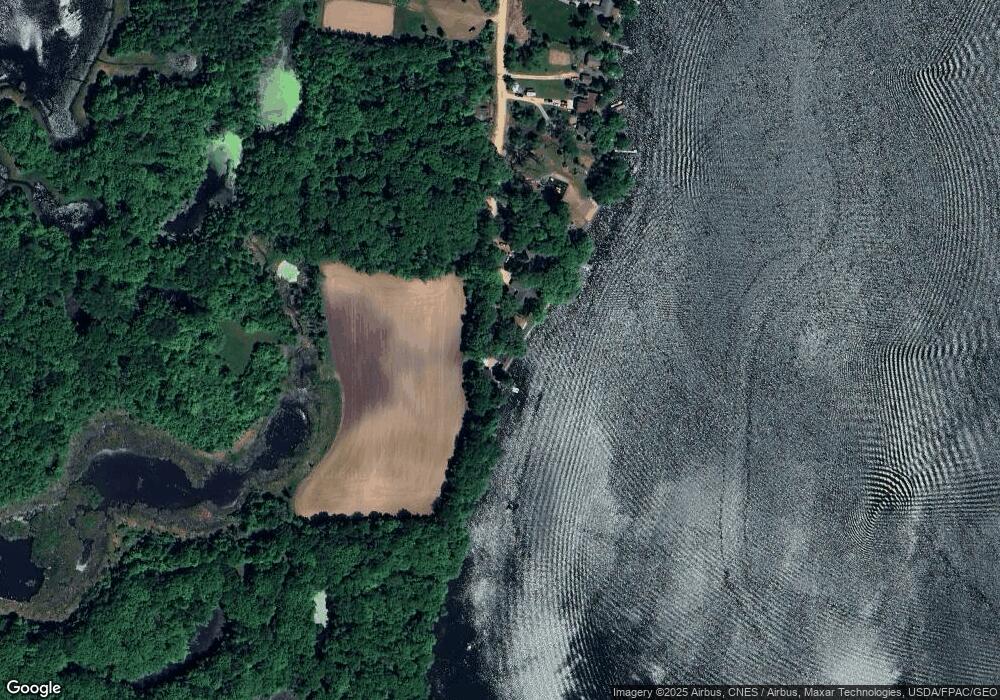
Map
Nearby Homes
- B1/L3 Baker Ave NW
- B1/L2 Baker Ave NW
- TBD Baker Ave NW
- B1/L1 Baker Ave NW
- B2/L4 Baker Ave NW
- 778 101st St NW
- 10209 & 10215 Amery Ave NW
- 1030 94th St NW
- 10758 Clementa Ave NW
- 10181 Aetna Ave NE
- 10840 Aetna Ave NE
- XXX 95th St NW
- 793 90th St NE
- 8486 Acacia Ave NE
- 12250 Afton Ave NE
- 647 127th St NE
- TBD 72nd St NW
- 7952 Braddock Ave NE
- 1380 84th St NE
- 2197 116th St NE
- 10360 Baker Ave NW
- 10384 Baker Ave NW
- 10396 Baker Ave NW
- 10418 Baker Ave NW
- 10464 Baker Ave NW
- 10486 Baker Ave NW
- XX Baker Ave NW
- 10500 Baker Ave NW
- 10540 Baker Ave NW
- 0 Baker Ave NW
- 10560 Arnold Cir NW
- Parcel A Baker Ave
- 10568 Arnold Cir NW
- 10564 Arnold Cir NW
- 10574 Arnold Cir NW
- 966 101st St NW
- 938 101st St NW
- 918 101st St NW
- 900 101st St NW
- 10672 Baker Ave NW