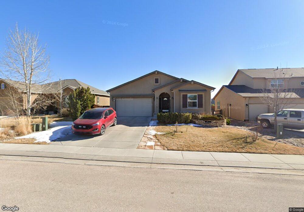
10347 Mount Evans Dr Peyton, CO 80831
Falcon NeighborhoodEstimated Value: $457,504 - $555,000
3
Beds
3
Baths
1,615
Sq Ft
$321/Sq Ft
Est. Value
About This Home
This home is located at 10347 Mount Evans Dr, Peyton, CO 80831 and is currently estimated at $518,876, approximately $321 per square foot. 10347 Mount Evans Dr is a home located in El Paso County with nearby schools including Meridian Ranch Elementary School, Falcon Middle School, and Falcon High School.
Ownership History
Date
Name
Owned For
Owner Type
Purchase Details
Closed on
Aug 6, 2009
Sold by
Elite Properties Of America Inc
Bought by
Baughman Robert and Baughman Linda
Current Estimated Value
Purchase Details
Closed on
Apr 17, 2009
Sold by
Gtl Inc
Bought by
Elite Properties Of America Inc
Create a Home Valuation Report for This Property
The Home Valuation Report is an in-depth analysis detailing your home's value as well as a comparison with similar homes in the area
Home Values in the Area
Average Home Value in this Area
Purchase History
| Date | Buyer | Sale Price | Title Company |
|---|---|---|---|
| Baughman Robert | $315,186 | Cb Title | |
| Elite Properties Of America Inc | $67,500 | Fahtco |
Source: Public Records
Tax History
| Year | Tax Paid | Tax Assessment Tax Assessment Total Assessment is a certain percentage of the fair market value that is determined by local assessors to be the total taxable value of land and additions on the property. | Land | Improvement |
|---|---|---|---|---|
| 2025 | $3,185 | $34,230 | -- | -- |
| 2024 | $3,185 | $34,840 | $7,200 | $27,640 |
| 2022 | $2,621 | $25,970 | $5,910 | $20,060 |
| 2021 | $2,717 | $26,720 | $6,080 | $20,640 |
| 2020 | $2,647 | $24,140 | $5,510 | $18,630 |
| 2019 | $2,632 | $24,140 | $5,510 | $18,630 |
| 2018 | $2,427 | $22,030 | $5,040 | $16,990 |
| 2017 | $2,296 | $22,030 | $5,040 | $16,990 |
| 2016 | $2,468 | $24,250 | $5,570 | $18,680 |
| 2015 | $2,469 | $24,250 | $5,570 | $18,680 |
| 2014 | $2,273 | $22,050 | $4,780 | $17,270 |
Source: Public Records
Map
Nearby Homes
- 10367 Mount Evans Dr
- 12431 Mount Bross Place
- 12432 Mount Bross Place
- 12590 Granite Springs Place
- 10102 Golf Crest Dr
- 10135 Kings Canyon Dr
- 12803 Stone Valley Dr
- 10417 Mt Lincoln Dr
- 12828 Stone Valley Dr
- 9957 Golf Crest Dr
- 12534 Angelina Dr
- 10603 Ross Lake Dr
- 10476 Ross Lake Dr
- 12868 Stone Valley Dr
- 10525 Mount Sherman Way
- 12660 Enclave Scenic Dr
- 12676 Enclave Scenic Dr
- 12686 Culebra Peak Dr
- 12252 Point Reyes Dr
- 12644 Enclave Scenic Dr
- 10337 Mount Evans Dr
- 12483 Handles Peak Way
- 12495 Handles Peak Way
- 12471 Handles Peak Way
- 10348 Mount Evans Dr
- 10338 Mount Evans Dr
- 10358 Mount Evans Dr
- 10328 Mount Evans Dr
- 10387 Mount Evans Dr
- 10273 Capital Peak Way
- 10378 Mount Evans Dr
- 10318 Mount Evans Dr
- 10263 Capital Peak Way
- 12447 Handles Peak Way
- 12507 Handles Peak Way
- 10361 Mount Wilson Place
- 10347 Mount Wilson Place
- 10397 Mount Evans Dr
- 10398 Mount Evans Dr
- 10375 Mount Wilson Place
Your Personal Tour Guide
Ask me questions while you tour the home.