Estimated Value: $489,000 - $712,000
3
Beds
1
Bath
1,558
Sq Ft
$404/Sq Ft
Est. Value
About This Home
This home is located at 10348 10348 Manning-Avenue-n, Grant, MN 55082 and is currently estimated at $628,974, approximately $403 per square foot. 10348 10348 Manning-Avenue-n is a home located in Washington County with nearby schools including Rutherford Elementary School, Stillwater Middle School, and Stillwater Area High School.
Ownership History
Date
Name
Owned For
Owner Type
Purchase Details
Closed on
Feb 28, 2006
Sold by
Olson Kevin J and Olson Noreen S
Bought by
Carlson Ricky L
Current Estimated Value
Home Financials for this Owner
Home Financials are based on the most recent Mortgage that was taken out on this home.
Original Mortgage
$205,000
Interest Rate
6.2%
Mortgage Type
New Conventional
Purchase Details
Closed on
Jul 28, 2000
Sold by
Conati Bonnie J and Conati Jon A
Bought by
Olson Kevin J and Olson Noreen S
Create a Home Valuation Report for This Property
The Home Valuation Report is an in-depth analysis detailing your home's value as well as a comparison with similar homes in the area
Home Values in the Area
Average Home Value in this Area
Purchase History
| Date | Buyer | Sale Price | Title Company |
|---|---|---|---|
| Carlson Ricky L | $345,000 | -- | |
| Olson Kevin J | $450,000 | -- |
Source: Public Records
Mortgage History
| Date | Status | Borrower | Loan Amount |
|---|---|---|---|
| Previous Owner | Carlson Ricky L | $205,000 |
Source: Public Records
Tax History Compared to Growth
Tax History
| Year | Tax Paid | Tax Assessment Tax Assessment Total Assessment is a certain percentage of the fair market value that is determined by local assessors to be the total taxable value of land and additions on the property. | Land | Improvement |
|---|---|---|---|---|
| 2024 | $4,974 | $603,300 | $292,400 | $310,900 |
| 2023 | $4,974 | $585,500 | $337,400 | $248,100 |
| 2022 | $3,682 | $527,000 | $289,500 | $237,500 |
| 2021 | $3,406 | $429,400 | $236,500 | $192,900 |
| 2020 | $3,458 | $417,200 | $230,000 | $187,200 |
| 2019 | $3,378 | $422,500 | $230,000 | $192,500 |
| 2018 | $3,312 | $386,200 | $208,800 | $177,400 |
| 2017 | $3,300 | $375,400 | $204,900 | $170,500 |
| 2016 | $3,188 | $366,900 | $195,400 | $171,500 |
| 2015 | $3,110 | $341,300 | $177,700 | $163,600 |
| 2013 | -- | $288,500 | $141,400 | $147,100 |
Source: Public Records
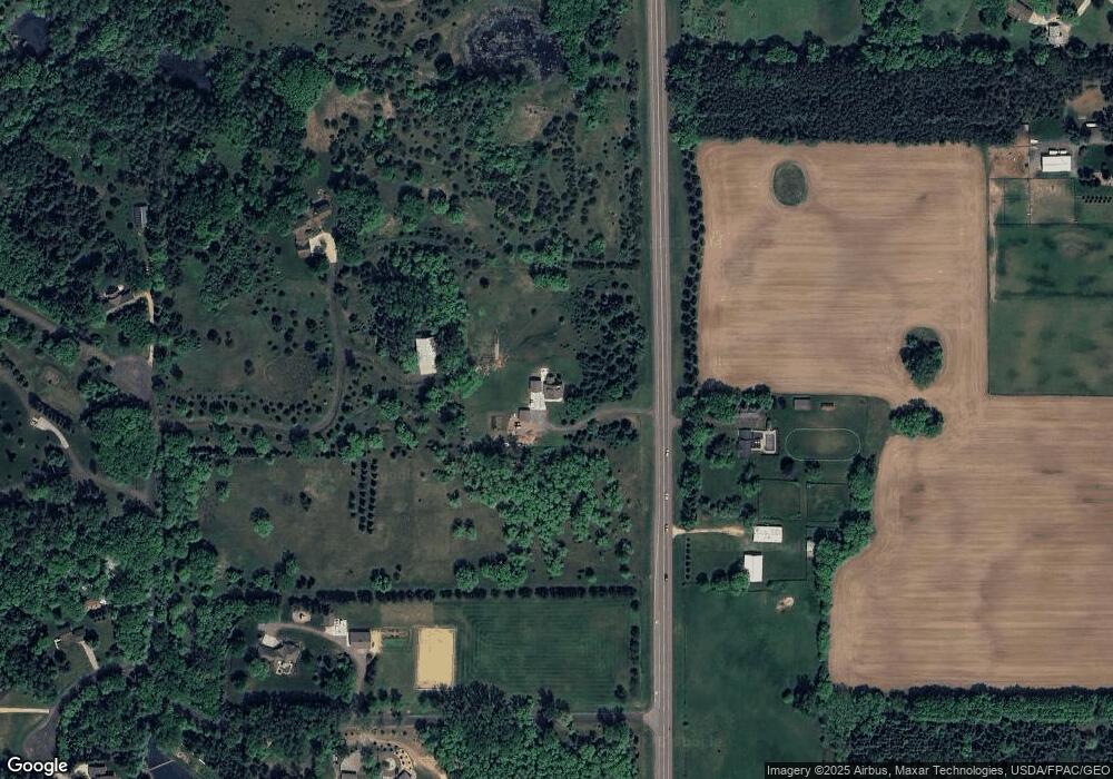
Map
Nearby Homes
- 11691 115th St N
- 3449 Maureen Ln
- 3093 Lowell Ct
- 2506 Neal Ct N
- 11151 88th St N
- 13187 Dellwood Rd N
- 14xxx Dellwood Rd
- 1900 Oak Glen Trail
- 1331 Macey Ct
- 1246 Macey Way
- 3648 Abercrombie Ln
- 3249 Atwood Ct
- 3804 Abercrombie Ln
- 950 Owens St N
- 13985 120th St N
- 10380 Jody Avenue Ct N
- 1110 Lecuyer Dr
- 9404 Otchipwe Ave N
- 976 Creekside Crossing
- 1347 McKusick Road Ln N
- 10348 Manning Ave N
- xxx Manning Ave
- 10XXX Manning Ave N
- 10298 Manning Ave N
- 10357 Manning Ave N
- 11775 102nd St N
- 11900 102nd St N
- 10559 Manning Ave N
- 11955 11955 N 102nd-Street-n
- 11755 102nd St N
- 11955 102nd St N
- 10710 Manning Trail N
- 11800 102nd Street Ct N
- 10502 Mendel Rd N
- 10650 Manning Ave N
- 10130 Manning Ave N
- 10460 Mendel Rd N
- 11877 102nd Street Ct N
- 10720 Manning Trail Ct N
- 10611 Mendel Rd N