10348 Cook Rd Unit 348 Houston, TX 77099
Alief NeighborhoodEstimated Value: $155,535 - $166,000
2
Beds
2
Baths
1,151
Sq Ft
$138/Sq Ft
Est. Value
About This Home
This home is located at 10348 Cook Rd Unit 348, Houston, TX 77099 and is currently estimated at $159,134, approximately $138 per square foot. 10348 Cook Rd Unit 348 is a home located in Harris County with nearby schools including Kennedy Elementary School, Holub Middle School, and Mata Intermediate School.
Ownership History
Date
Name
Owned For
Owner Type
Purchase Details
Closed on
Feb 23, 2001
Sold by
Mai John and Mai Carol
Bought by
Hulett Linda G
Current Estimated Value
Home Financials for this Owner
Home Financials are based on the most recent Mortgage that was taken out on this home.
Original Mortgage
$55,950
Outstanding Balance
$20,044
Interest Rate
6.97%
Estimated Equity
$139,090
Purchase Details
Closed on
Dec 1, 1997
Sold by
Mccarthy Jeanne M
Bought by
Gregory Julia Hollenbeck
Home Financials for this Owner
Home Financials are based on the most recent Mortgage that was taken out on this home.
Original Mortgage
$29,000
Interest Rate
7.3%
Create a Home Valuation Report for This Property
The Home Valuation Report is an in-depth analysis detailing your home's value as well as a comparison with similar homes in the area
Home Values in the Area
Average Home Value in this Area
Purchase History
| Date | Buyer | Sale Price | Title Company |
|---|---|---|---|
| Hulett Linda G | -- | American Title Co | |
| Gregory Julia Hollenbeck | -- | First American Title |
Source: Public Records
Mortgage History
| Date | Status | Borrower | Loan Amount |
|---|---|---|---|
| Open | Hulett Linda G | $55,950 | |
| Previous Owner | Gregory Julia Hollenbeck | $29,000 |
Source: Public Records
Tax History Compared to Growth
Tax History
| Year | Tax Paid | Tax Assessment Tax Assessment Total Assessment is a certain percentage of the fair market value that is determined by local assessors to be the total taxable value of land and additions on the property. | Land | Improvement |
|---|---|---|---|---|
| 2025 | $1,677 | $133,692 | $28,845 | $104,847 |
| 2024 | $1,677 | $143,562 | $28,845 | $114,717 |
| 2023 | $1,677 | $143,562 | $28,845 | $114,717 |
| 2022 | $2,581 | $118,658 | $28,845 | $89,813 |
| 2021 | $2,462 | $108,478 | $28,845 | $79,633 |
| 2020 | $2,319 | $100,154 | $28,845 | $71,309 |
| 2019 | $2,212 | $91,333 | $28,845 | $62,488 |
| 2018 | $675 | $85,996 | $28,845 | $57,151 |
| 2017 | $1,810 | $84,368 | $16,030 | $68,338 |
| 2016 | $1,645 | $71,544 | $13,593 | $57,951 |
| 2015 | $1,045 | $71,544 | $13,593 | $57,951 |
| 2014 | $1,045 | $51,762 | $9,835 | $41,927 |
Source: Public Records
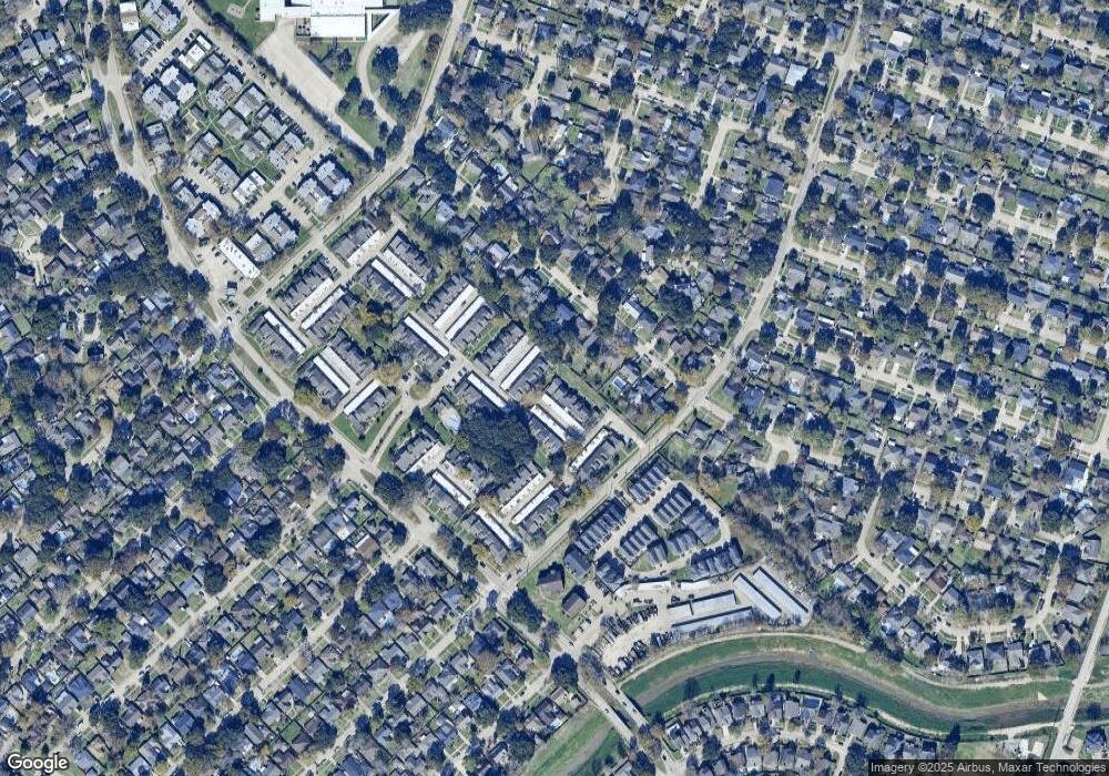
Map
Nearby Homes
- 10362 Cook Rd Unit 187
- 10366 Panther Point Dr
- 10355 Panther Point Dr
- 10327 Panther Point Dr
- 12419 Longbrook Dr
- 10325 Huntington Place Dr Unit 325
- 10327 Huntington Place Dr Unit 327
- 12510 Panther Place Dr
- 12166 Huntington Venture Dr
- 10518 Huntington Dale Dr
- 12623 S Dairy Ashford Rd
- 10534 Huntington Wood Dr
- 12122 Plumbrook Dr
- 12123 Plumpoint Dr
- 10530 Farmingham Dr
- 10602 Tenneta Dr
- 12346 Huntington Venture Dr
- 12431 Huntington Field Dr
- 12310 Pine Knoll Dr
- 12211 Pine Knoll Dr
- 10346 Cook Rd Unit 346
- 10346 Cook Rd Unit 176
- 10344 Cook Rd Unit 344
- 10342 Cook Rd Unit 342
- 12451 S Dry Ashfrd St Unit 2451
- 12451 S Dairy Ashford Rd
- 12449 S Dry Ashfrd St Unit 2449
- 12453 S Dry Ashfrd St Unit 2453
- 12447 S Dry Ashfrd St Unit 2447
- 10340 Cook Rd Unit 340
- 10352 Cook Rd Unit 352
- 12455 S Dry Ashfrd St Unit 2455
- 12445 S Dry Ashfrd St Unit 2445
- 10356 Cook Rd Unit 356
- 10356 Cook Rd Unit 184
- 12457 S Dry Ashfrd St Unit 2457
- 12457 S Dairy Ashford Rd Unit 2457
- 10338 Cook Rd Unit 338
- 10338 Cook Rd Unit 172
- 10350 Cook Rd Unit 350