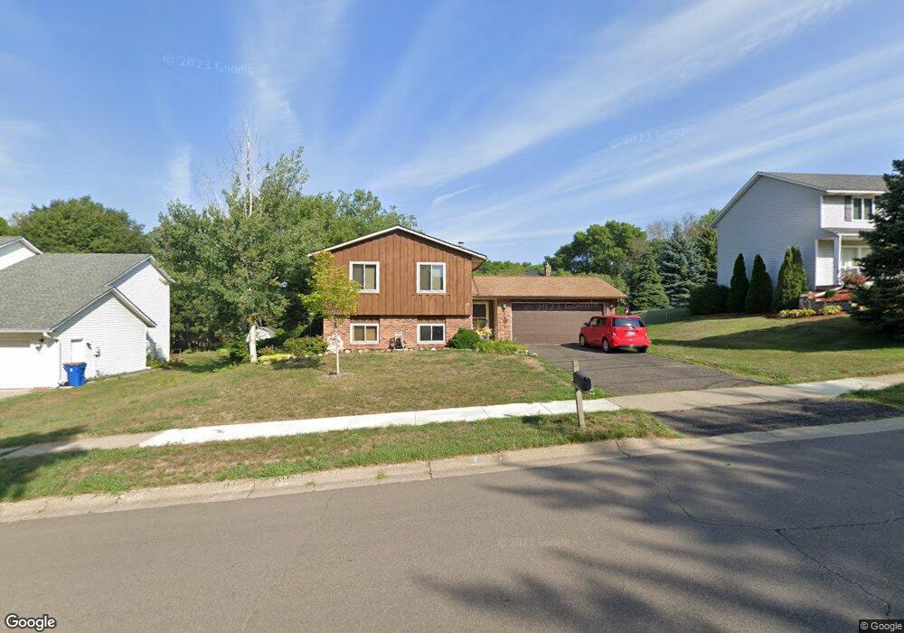
10348 Xylon Rd S Bloomington, MN 55438
West Bloomington NeighborhoodEstimated Value: $343,000 - $405,000
2
Beds
2
Baths
879
Sq Ft
$433/Sq Ft
Est. Value
About This Home
This home is located at 10348 Xylon Rd S, Bloomington, MN 55438 and is currently estimated at $380,271, approximately $432 per square foot. 10348 Xylon Rd S is a home located in Hennepin County with nearby schools including Normandale Hills Elementary School, Olson Middle School, and Jefferson Senior High School.
Ownership History
Date
Name
Owned For
Owner Type
Purchase Details
Closed on
Jul 10, 2002
Sold by
Davis Lynn M
Bought by
Blaros Peter and Hifferty Stephanie
Current Estimated Value
Purchase Details
Closed on
Oct 30, 1998
Sold by
Wild Jeffrey D and Wild Anne M
Bought by
Davis Lynn M
Create a Home Valuation Report for This Property
The Home Valuation Report is an in-depth analysis detailing your home's value as well as a comparison with similar homes in the area
Home Values in the Area
Average Home Value in this Area
Purchase History
| Date | Buyer | Sale Price | Title Company |
|---|---|---|---|
| Blaros Peter | $197,900 | -- | |
| Davis Lynn M | $141,700 | -- |
Source: Public Records
Tax History Compared to Growth
Tax History
| Year | Tax Paid | Tax Assessment Tax Assessment Total Assessment is a certain percentage of the fair market value that is determined by local assessors to be the total taxable value of land and additions on the property. | Land | Improvement |
|---|---|---|---|---|
| 2024 | $4,569 | $361,500 | $163,900 | $197,600 |
| 2023 | $4,541 | $377,000 | $174,300 | $202,700 |
| 2022 | $3,696 | $353,800 | $153,600 | $200,200 |
| 2021 | $3,438 | $294,700 | $135,300 | $159,400 |
| 2020 | $3,617 | $278,500 | $131,400 | $147,100 |
| 2019 | $3,398 | $283,900 | $131,400 | $152,500 |
| 2018 | $3,192 | $263,900 | $132,600 | $131,300 |
| 2017 | $3,055 | $236,600 | $119,000 | $117,600 |
| 2016 | $2,853 | $213,200 | $106,600 | $106,600 |
| 2015 | $2,766 | $200,500 | $103,400 | $97,100 |
| 2014 | -- | $188,300 | $100,300 | $88,000 |
Source: Public Records
Map
Nearby Homes
- 8149 W 103rd St
- 10433 Utah Rd
- 7920 W 107th Street Cir
- 10170 Utah Ave S
- 10405 Decatur Ave S
- 10462 Decatur Ave S
- 10434 Decatur Ave S
- 7534 Landau Dr
- 10707 Yukon Ave S
- 7501 W 101st St Unit 310
- 7501 W 101st St Unit 107
- 9579 Falcons Way
- 7401 Landau Dr Unit 12
- 7256 Woodstock Dr
- 10417 Fawns Way
- 7321 Woodstock Curve
- 10907 Rhode Island Ave S
- 10911 Rhode Island Ave S
- 10561 Maryland Rd
- 7518 W 110th St
- 10356 Xylon Rd S
- 10340 Xylon Rd S
- 10365 Yukon Ave S
- 10357 Yukon Ave S
- 10364 Xylon Rd S
- 10373 Yukon Ave S
- 10349 Xylon Rd S
- 10332 Xylon Rd S
- 10357 Xylon Rd S
- 10341 Xylon Rd S
- 10349 Yukon Ave S
- 10372 Xylon Rd S
- 10333 Xylon Rd S
- 10381 Yukon Ave S
- 10324 Xylon Rd S
- 10341 Yukon Ave S
- 10401 Xylon Rd S
- 10372 Yukon Ave S
- 10356 Wyoming Ave S
- 10364 Yukon Ave S