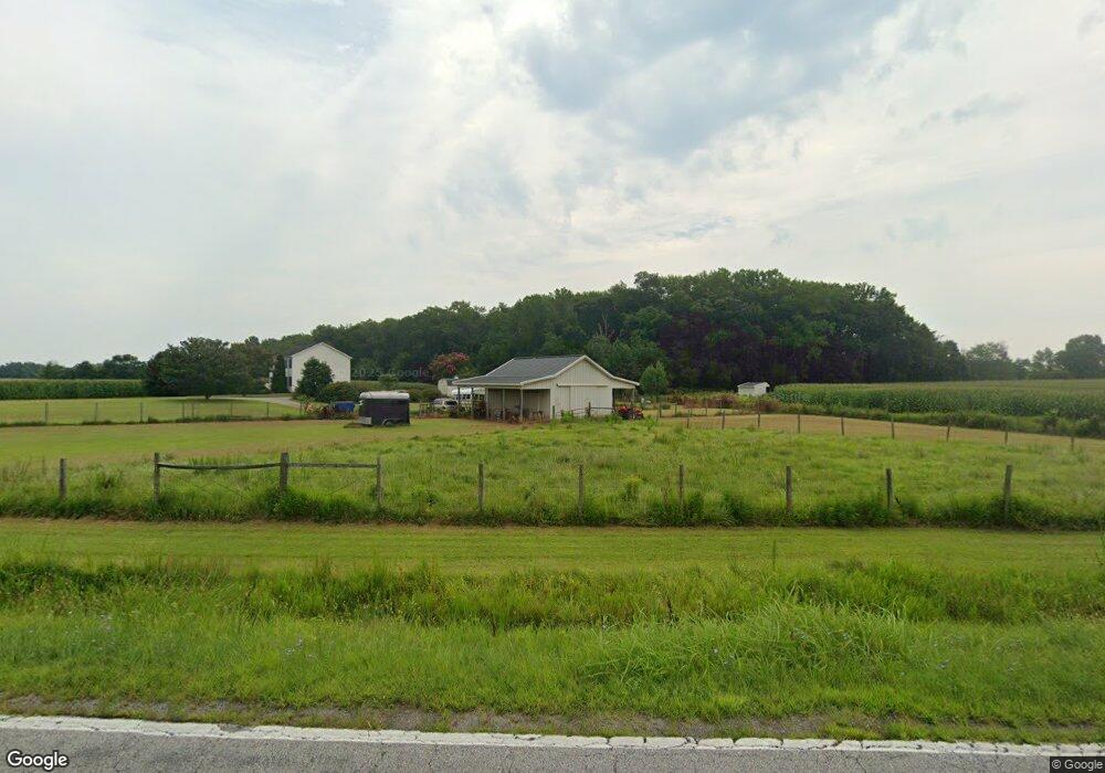
1035 Damsontown Rd Queen Anne, MD 21657
Estimated Value: $506,184 - $588,000
--
Bed
3
Baths
2,640
Sq Ft
$211/Sq Ft
Est. Value
About This Home
This home is located at 1035 Damsontown Rd, Queen Anne, MD 21657 and is currently estimated at $557,395, approximately $211 per square foot. 1035 Damsontown Rd is a home located in Queen Anne's County with nearby schools including Centreville Elementary School, Kennard Elementary School, and Centreville Middle School.
Ownership History
Date
Name
Owned For
Owner Type
Purchase Details
Closed on
Oct 22, 2019
Sold by
Jackson Marianne
Bought by
Jackson Marianne and Eaton Kenneth B
Current Estimated Value
Home Financials for this Owner
Home Financials are based on the most recent Mortgage that was taken out on this home.
Original Mortgage
$129,000
Outstanding Balance
$113,010
Interest Rate
3.5%
Mortgage Type
New Conventional
Estimated Equity
$444,385
Purchase Details
Closed on
Mar 20, 2002
Sold by
Jackson Charles E and Jackson Mary A
Bought by
Jackson Marianne and Jackson Benjamin W
Create a Home Valuation Report for This Property
The Home Valuation Report is an in-depth analysis detailing your home's value as well as a comparison with similar homes in the area
Home Values in the Area
Average Home Value in this Area
Purchase History
| Date | Buyer | Sale Price | Title Company |
|---|---|---|---|
| Jackson Marianne | $142,150 | Venture Title Company Llc | |
| Jackson Marianne | -- | Venture Title Company | |
| Jackson Marianne | -- | -- |
Source: Public Records
Mortgage History
| Date | Status | Borrower | Loan Amount |
|---|---|---|---|
| Open | Jackson Marianne | $129,000 |
Source: Public Records
Tax History Compared to Growth
Tax History
| Year | Tax Paid | Tax Assessment Tax Assessment Total Assessment is a certain percentage of the fair market value that is determined by local assessors to be the total taxable value of land and additions on the property. | Land | Improvement |
|---|---|---|---|---|
| 2025 | $3,236 | $380,500 | $92,000 | $288,500 |
| 2024 | $3,236 | $349,900 | $0 | $0 |
| 2023 | $3,068 | $319,300 | $0 | $0 |
| 2022 | $2,780 | $288,700 | $92,000 | $196,700 |
| 2021 | $2,801 | $287,233 | $0 | $0 |
| 2020 | $2,801 | $285,767 | $0 | $0 |
| 2019 | $2,787 | $284,300 | $92,000 | $192,300 |
| 2018 | $2,787 | $284,300 | $92,000 | $192,300 |
| 2017 | $2,787 | $284,300 | $0 | $0 |
| 2016 | -- | $287,500 | $0 | $0 |
| 2015 | $2,032 | $287,500 | $0 | $0 |
| 2014 | $2,032 | $287,500 | $0 | $0 |
Source: Public Records
Map
Nearby Homes
- 1801 Starr Rd
- 1724 Starr Rd
- 0 Neighbors Rd
- 12615 Eveland Rd
- 32115 Park Ave
- 13603 Main St
- 13513 1st St
- 13500 1st St
- 13404 Cannery Rd
- 21948 Main St
- 113 Paulowina Rd
- E/S MD RT480 Unknown
- 22005 Main St
- 0 Mason Branch Rd Unit MDQA2015016
- 107 Whitby Ln
- 200 Dudley Ct
- 209 Kesley Ct
- 408 Laurens Way
- 208 Oriole Ave
- 0 Oakland Rd
- 1101 Damsontown Rd
- 920 Damsontown Rd
- 917 Damsontown Rd
- 1115 Damsontown Rd
- 1121 Damsontown Rd
- 1129 Damsontown Rd
- 1020 Damsontown Rd
- 1205 Damsontown Rd
- 822 Damsontown Rd
- 201 Crouse Mill Rd
- 2113 Starr Rd
- 205 Crouse Mill Rd
- 2013 Starr Rd
- 2204 Starr Rd
- 723 Damsontown Rd
- 2208 Starr Rd
- 305 Crouse Mill Rd
- 1391 Damsontown Rd
- 311 Crouse Mill Rd
- 319 Crouse Mill Rd