1035 Michael Ln Liberty, MS 39645
Estimated Value: $42,499 - $129,000
--
Bed
--
Bath
752
Sq Ft
$128/Sq Ft
Est. Value
About This Home
This home is located at 1035 Michael Ln, Liberty, MS 39645 and is currently estimated at $96,125, approximately $127 per square foot. 1035 Michael Ln is a home with nearby schools including Amite County Elementary School and Amite County High School.
Create a Home Valuation Report for This Property
The Home Valuation Report is an in-depth analysis detailing your home's value as well as a comparison with similar homes in the area
Home Values in the Area
Average Home Value in this Area
Tax History Compared to Growth
Tax History
| Year | Tax Paid | Tax Assessment Tax Assessment Total Assessment is a certain percentage of the fair market value that is determined by local assessors to be the total taxable value of land and additions on the property. | Land | Improvement |
|---|---|---|---|---|
| 2024 | $241 | $2,651 | $0 | $0 |
| 2023 | $225 | $2,651 | $0 | $0 |
| 2022 | $225 | $2,651 | $0 | $0 |
| 2021 | $178 | $2,160 | $0 | $0 |
| 2020 | $139 | $2,094 | $0 | $0 |
| 2019 | $165 | $2,094 | $0 | $0 |
| 2018 | $162 | $2,094 | $0 | $0 |
| 2017 | $146 | $1,902 | $0 | $0 |
| 2016 | $139 | $1,853 | $0 | $0 |
| 2015 | -- | $1,853 | $0 | $0 |
Source: Public Records
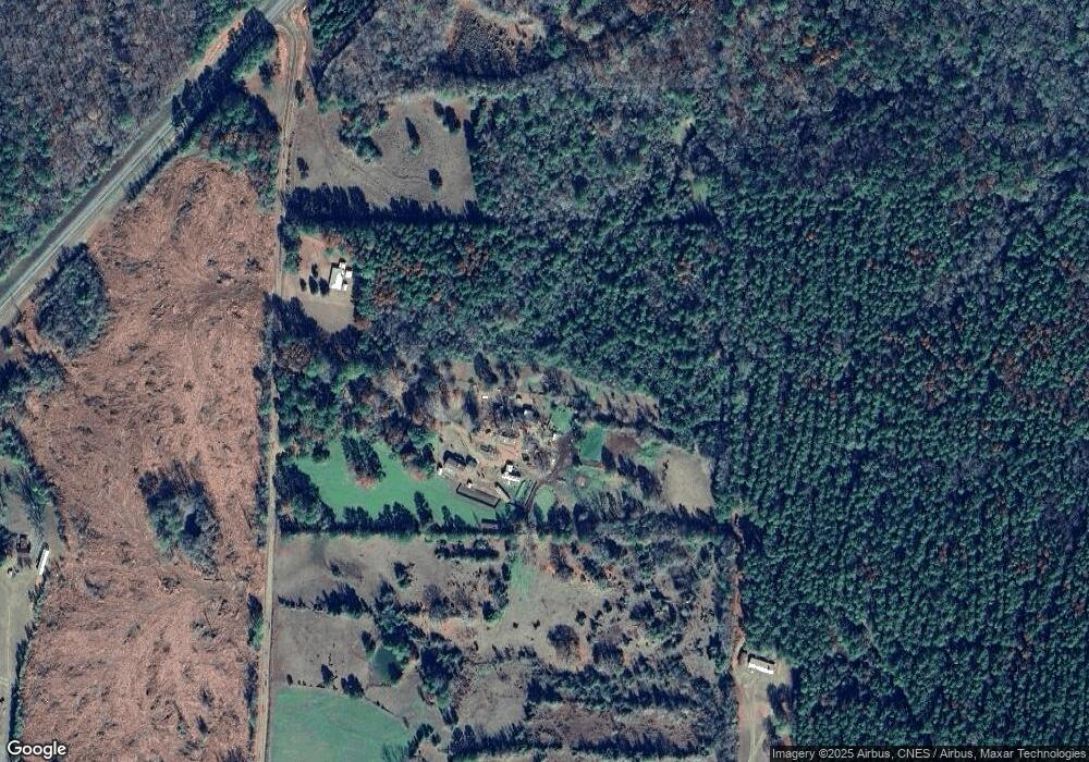
Map
Nearby Homes
- 0 Bethel Rd
- 00 Bethel Rd
- TBD Pipes Ln
- TBD Jerusalem Rd
- 2523
- 1998 Berwick Cassels Rd
- 0 Enterprise Rd
- 0 Berwick Cassels Rd
- 2423 S Greensburg Rd
- 3111 Kahn
- XXX Street Rd
- 240 N Church St
- 2 Mississippi 24
- 1 Mississippi 24
- 709 Liberty White Rd
- 4758 Mississippi 584
- 000 Mississippi 569
- TBD Mcclain Rd
- 0 Hwy 569 Unit 4117188
- 0 Hwy 569 Unit 4085073