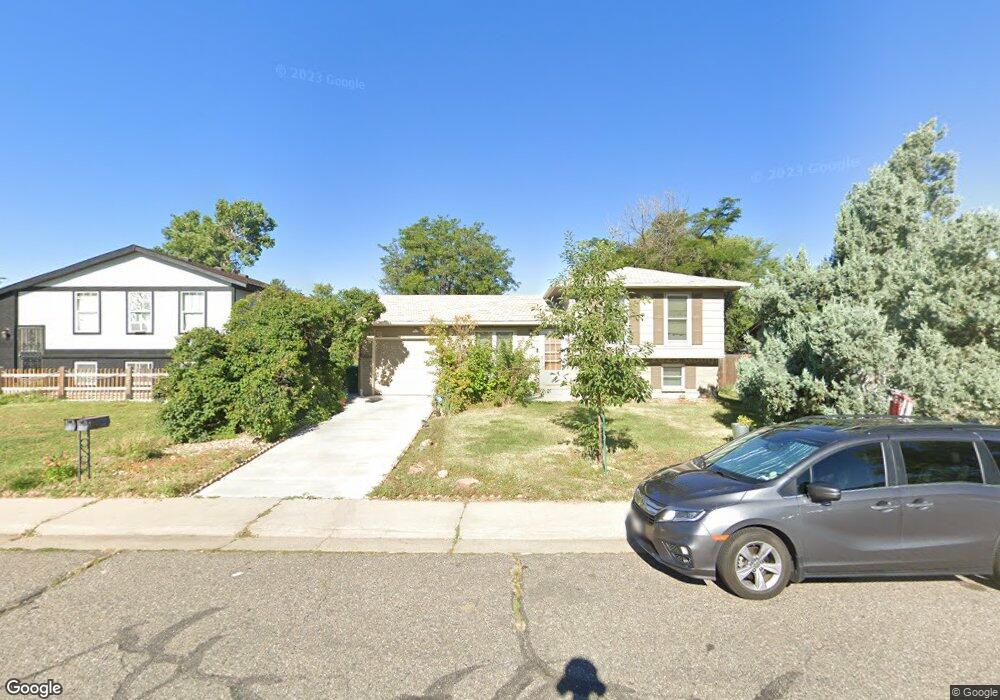
1035 Mobile St Aurora, CO 80011
Laredo Highline NeighborhoodEstimated Value: $384,000 - $400,854
2
Beds
3
Baths
888
Sq Ft
$441/Sq Ft
Est. Value
About This Home
This home is located at 1035 Mobile St, Aurora, CO 80011 and is currently estimated at $391,464, approximately $440 per square foot. 1035 Mobile St is a home located in Arapahoe County with nearby schools including Laredo Elementary School, East Middle School, and Hinkley High School.
Ownership History
Date
Name
Owned For
Owner Type
Purchase Details
Closed on
Jul 1, 1986
Sold by
Conversion Arapco
Bought by
Conversion Arapco
Current Estimated Value
Purchase Details
Closed on
Oct 1, 1985
Sold by
Conversion Arapco
Bought by
Conversion Arapco
Purchase Details
Closed on
Apr 1, 1980
Sold by
Conversion Arapco
Bought by
Conversion Arapco
Purchase Details
Closed on
Jul 4, 1776
Bought by
Conversion Arapco
Create a Home Valuation Report for This Property
The Home Valuation Report is an in-depth analysis detailing your home's value as well as a comparison with similar homes in the area
Home Values in the Area
Average Home Value in this Area
Purchase History
| Date | Buyer | Sale Price | Title Company |
|---|---|---|---|
| Conversion Arapco | -- | -- | |
| Conversion Arapco | -- | -- | |
| Conversion Arapco | -- | -- | |
| Conversion Arapco | -- | -- |
Source: Public Records
Tax History
| Year | Tax Paid | Tax Assessment Tax Assessment Total Assessment is a certain percentage of the fair market value that is determined by local assessors to be the total taxable value of land and additions on the property. | Land | Improvement |
|---|---|---|---|---|
| 2025 | $2,578 | $25,781 | -- | -- |
| 2024 | $2,500 | $26,901 | -- | -- |
| 2023 | $2,500 | $26,901 | $0 | $0 |
| 2022 | $2,142 | $21,337 | $0 | $0 |
| 2021 | $2,212 | $21,337 | $0 | $0 |
| 2020 | $2,120 | $20,356 | $0 | $0 |
| 2019 | $2,108 | $20,356 | $0 | $0 |
| 2018 | $1,587 | $15,005 | $0 | $0 |
| 2017 | $1,380 | $15,005 | $0 | $0 |
| 2016 | $1,135 | $12,083 | $0 | $0 |
| 2015 | $1,096 | $12,083 | $0 | $0 |
| 2014 | $725 | $7,697 | $0 | $0 |
| 2013 | -- | $8,540 | $0 | $0 |
Source: Public Records
Map
Nearby Homes
- 16010 E 11th Ave
- 803 Nucla St
- 757 Norfolk Way
- 745 Mobile St
- 752 Lewiston St
- 1074 N Joplin St Unit 5
- 1313 Laredo St
- 1063 N Joplin St Unit 2
- 1053 N Joplin St Unit 1
- 1449 Norfolk St
- 1280 Airport Blvd
- 808 Idalia St
- 15863 E 7th Ave
- 666 Kittredge St
- 15771 E 13th Place Unit C34
- 15703 E 13th Place Unit 1A
- 15814 E Colfax Ave Unit 21
- 15950 E 6th Ave
- 16431 E Colfax Ave Unit 28
- 1064 Chambers Ct Unit 108
- 1025 Mobile St
- 1015 Mobile St
- 1055 Mobile St
- 1034 Memphis St
- 1044 Memphis St
- 1024 Memphis St
- 1005 Mobile St
- 1065 Mobile St
- 1036 Mobile St
- 1064 Memphis St
- 1046 Mobile St
- 1026 Mobile St
- 1056 Mobile St
- 1016 Mobile St
- 1075 Mobile St
- 1014 Memphis St
- 1074 Memphis St
- 1066 Mobile St
- 1006 Mobile St
- 1085 Mobile St
Your Personal Tour Guide
Ask me questions while you tour the home.