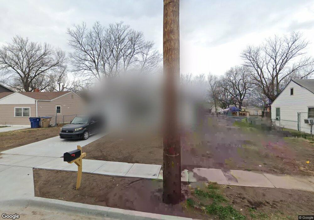
1035 N Green St Wichita, KS 67214
North Central NeighborhoodEstimated Value: $109,000 - $145,498
4
Beds
2
Baths
1,354
Sq Ft
$94/Sq Ft
Est. Value
About This Home
This home is located at 1035 N Green St, Wichita, KS 67214 and is currently estimated at $127,249, approximately $93 per square foot. 1035 N Green St is a home located in Sedgwick County with nearby schools including Spaght Science and Communications Magnet and Blessed Sacrament Catholic School.
Ownership History
Date
Name
Owned For
Owner Type
Purchase Details
Closed on
Dec 27, 2021
Sold by
Wichita Habitat For Humanity Inc
Bought by
Mohamed Suhayla S
Current Estimated Value
Home Financials for this Owner
Home Financials are based on the most recent Mortgage that was taken out on this home.
Original Mortgage
$72,800
Outstanding Balance
$66,979
Interest Rate
2.98%
Mortgage Type
Purchase Money Mortgage
Estimated Equity
$60,270
Purchase Details
Closed on
Jun 4, 2021
Sold by
Evergy Kansas South Inc
Bought by
Wichita Habitat For Humanity Inc
Create a Home Valuation Report for This Property
The Home Valuation Report is an in-depth analysis detailing your home's value as well as a comparison with similar homes in the area
Home Values in the Area
Average Home Value in this Area
Purchase History
| Date | Buyer | Sale Price | Title Company |
|---|---|---|---|
| Mohamed Suhayla S | -- | None Available | |
| Wichita Habitat For Humanity Inc | -- | None Available |
Source: Public Records
Mortgage History
| Date | Status | Borrower | Loan Amount |
|---|---|---|---|
| Open | Mohamed Suhayla S | $72,800 |
Source: Public Records
Tax History Compared to Growth
Tax History
| Year | Tax Paid | Tax Assessment Tax Assessment Total Assessment is a certain percentage of the fair market value that is determined by local assessors to be the total taxable value of land and additions on the property. | Land | Improvement |
|---|---|---|---|---|
| 2025 | $1,181 | $13,283 | $633 | $12,650 |
| 2023 | $1,181 | $10,454 | $529 | $9,925 |
| 2022 | $1,021 | $9,592 | $495 | $9,097 |
| 2021 | $0 | $950 | $495 | $455 |
| 2020 | $107 | $950 | $495 | $455 |
| 2019 | $120 | $1,078 | $495 | $583 |
| 2018 | $117 | $1,078 | $506 | $572 |
| 2017 | $124 | $0 | $0 | $0 |
| 2016 | $122 | $0 | $0 | $0 |
| 2015 | -- | $0 | $0 | $0 |
| 2014 | -- | $0 | $0 | $0 |
Source: Public Records
Map
Nearby Homes
- 1108 N Estelle St
- 1018 N Volutsia Ave
- 2503 E Mossman Ave
- 2629 E 8th St N
- 817 N Green St
- Lot Lot 16 Buck's Add
- 832 N Grove St
- 2232 E Random Rd
- 1157 N Erie Ave
- 2301 E Random Rd
- 830 N Spruce St
- 849 N Spruce St
- 2120 E Random Rd
- 2111 E Random Rd
- 1234 N Chautauqua Ave
- 2121 E Murdock Ave
- 919 N Piatt Ave
- 1334 N Estelle Ave
- 615 N Chautauqua Ave
- 548 N Poplar St
- 1033 N Green St
- 1043 N Green St
- 1027 N Green St
- 1049 N Green St
- 1322 N Green St
- 1044 N Green St
- 1023 N Green St
- 1036 N Poplar Ave
- 1055 N Green St
- 1032 N Poplar Ave
- 1046 N Green St
- 1032 N Green St
- 1026 N Green St
- 1030 N Poplar Ave
- 1046 N Poplar Ave
- 1054 N Poplar Ave
- 1026 N Poplar Ave
- 1017 N Green St
- 1054 N Green St
- 1022 N Green St