1035 Phil Dr Conover, NC 28613
Estimated Value: $71,000 - $162,000
Studio
--
Bath
--
Sq Ft
15,246
Sq Ft
About This Home
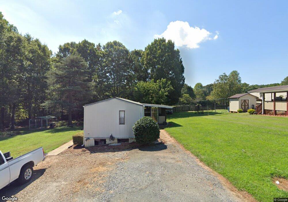
This home is located at 1035 Phil Dr, Conover, NC 28613 and is currently estimated at $118,333. 1035 Phil Dr is a home with nearby schools including Lyle Creek Elementary School, River Bend Middle School, and Bunker Hill High School.
Ownership History
Date
Name
Owned For
Owner Type
Purchase Details
Closed on
Aug 24, 2017
Sold by
Travis Larry Ray and Travis Vickie E
Bought by
Lrc Rentals Llc
Current Estimated Value
Purchase Details
Closed on
Aug 17, 2017
Sold by
Tietsort Kimberly and Tietsort Carl
Bought by
Travis Christopher R
Purchase Details
Closed on
May 25, 2007
Sold by
Gunter Jill Houston and Gunter Ricky Darrell
Bought by
Travis Larry Ray and Travis Vickie E
Home Financials for this Owner
Home Financials are based on the most recent Mortgage that was taken out on this home.
Original Mortgage
$299,000
Interest Rate
6.12%
Mortgage Type
Seller Take Back
Create a Home Valuation Report for This Property
The Home Valuation Report is an in-depth analysis detailing your home's value as well as a comparison with similar homes in the area
Home Values in the Area
Average Home Value in this Area
Purchase History
| Date | Buyer | Sale Price | Title Company |
|---|---|---|---|
| Lrc Rentals Llc | -- | None Available | |
| Travis Christopher R | -- | None Available | |
| Travis Larry Ray | $359,000 | None Available |
Source: Public Records
Mortgage History
| Date | Status | Borrower | Loan Amount |
|---|---|---|---|
| Previous Owner | Travis Larry Ray | $299,000 |
Source: Public Records
Tax History
| Year | Tax Paid | Tax Assessment Tax Assessment Total Assessment is a certain percentage of the fair market value that is determined by local assessors to be the total taxable value of land and additions on the property. | Land | Improvement |
|---|---|---|---|---|
| 2025 | $48 | $9,100 | $8,000 | $1,100 |
| 2024 | $48 | $9,100 | $8,000 | $1,100 |
| 2023 | $46 | $8,000 | $0 | $0 |
| 2022 | $56 | $8,000 | $8,000 | $0 |
| 2021 | $56 | $8,000 | $8,000 | $0 |
| 2020 | $56 | $8,000 | $8,000 | $0 |
| 2019 | $56 | $8,000 | $0 | $0 |
| 2018 | $59 | $8,500 | $8,000 | $500 |
| 2017 | $59 | $0 | $0 | $0 |
| 2016 | $59 | $0 | $0 | $0 |
| 2015 | $52 | $8,500 | $8,000 | $500 |
| 2014 | $52 | $8,700 | $8,700 | $0 |
Source: Public Records
Map
Nearby Homes
- 5429 Buddy St Unit LOT 3
- 1246 Houston Mill Rd
- 1113 Pecan St
- 4484 Springs Rd
- 1158 Sunset Ct
- 1098 Remington Dr
- 1371 Millrace Dr
- 4874 Stone Dr Unit 125
- 5217 Canterbury Dr
- 4932 Sandstone Dr
- 4645 Rifle Range Rd
- 4061 Springs Rd
- 28.8 Acres +/- Carver House Rd
- 1341 Misty Ln Unit 9
- 1285 Misty Ln Unit 6
- 1265 Misty Ln
- 1320 Misty Ln Unit 13
- 1296 Misty Ln Unit 14
- 5005 Woodwinds Dr NE
- 3646 46th Ave NE
- 1045 Phil Dr
- 1055 Phil Dr
- 1034 Phil Dr
- 1065 Phil Dr
- 5458 Buddy St
- 1060 Phil Dr
- 5468 Buddy St
- 1150 Houston Mill Rd
- 1075 Phil Dr
- 5470 Buddy St
- 5447 Buddy St
- 5455 Buddy St
- 1160 Houston Mill Rd
- 5480 Buddy St
- 5413 Buddy St
- 5492 Buddy St
- 5405 Buddy St
- 5325 White Carnation Dr
- 5325 White Carnation Dr
- 5487 Buddy St
Your Personal Tour Guide
Ask me questions while you tour the home.