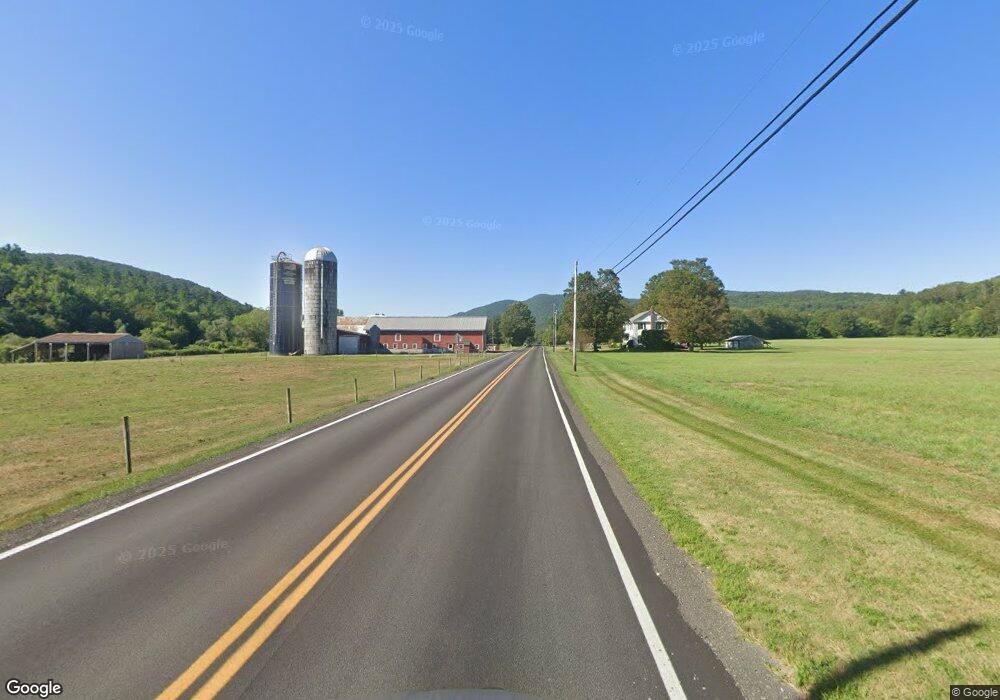
1035 Route 133 West Rutland, VT 05777
Estimated Value: $246,978 - $422,000
--
Bed
--
Bath
--
Sq Ft
3.5
Acres
About This Home
This home is located at 1035 Route 133, West Rutland, VT 05777 and is currently estimated at $334,995. 1035 Route 133 is a home located in Rutland County with nearby schools including Clarendon Elementary School and Mill River Union High School.
Ownership History
Date
Name
Owned For
Owner Type
Purchase Details
Closed on
Mar 1, 2007
Sold by
John A Russell Corp
Bought by
Adams John N
Current Estimated Value
Create a Home Valuation Report for This Property
The Home Valuation Report is an in-depth analysis detailing your home's value as well as a comparison with similar homes in the area
Home Values in the Area
Average Home Value in this Area
Purchase History
| Date | Buyer | Sale Price | Title Company |
|---|---|---|---|
| Adams John N | $159,000 | -- |
Source: Public Records
Tax History Compared to Growth
Tax History
| Year | Tax Paid | Tax Assessment Tax Assessment Total Assessment is a certain percentage of the fair market value that is determined by local assessors to be the total taxable value of land and additions on the property. | Land | Improvement |
|---|---|---|---|---|
| 2024 | -- | $158,400 | $44,400 | $114,000 |
| 2023 | -- | $158,400 | $44,400 | $114,000 |
| 2022 | $3,051 | $158,400 | $44,400 | $114,000 |
| 2021 | $3,291 | $158,400 | $44,400 | $114,000 |
| 2020 | $3,324 | $158,400 | $44,400 | $114,000 |
| 2019 | $3,242 | $158,400 | $44,400 | $114,000 |
| 2018 | $3,344 | $181,600 | $63,500 | $118,100 |
| 2017 | $3,203 | $181,600 | $63,500 | $118,100 |
| 2016 | $3,122 | $181,600 | $63,500 | $118,100 |
Source: Public Records
Map
Nearby Homes
- 374 Pinehill Rd
- 127 Clarendon Springs Ln
- 202 Scotts Rd Unit IRA
- 1321 Quarterline Rd
- 1186 Route 133
- 326 Main St
- 23 Proctor St
- 25 Proctor St
- 469 Main St
- 90 Elm St
- 101 High St
- 653 Main St
- 230 Marble St
- 124 Flory Heights
- 888 Pleasant St
- 60 Stone Ridge Dr
- 260 Business Route 4
- 14 Anderson St
- 133 Dorr Dr
- 15 Shedd Place
- 1035 Vermont 133
- 958 Route 133
- 927 Route 133
- 927 Clarendon Rd
- 1279 Route 133
- 1353 Rt 133
- 1403 Route 133
- 18 Doaner Ln
- 1435 Route 133
- 1722 Clarendon Ave
- 54 Doaner Ln
- 533 Vt-133
- 533 Vermont 133
- 5919 Walker Mountain Rd
- 5919 Walker Mountain Rd
- 1678 Clarendon Ave
- 36 Doaner Ln
- 5784 Walker Mountain Rd
- 231 Gorham Rd
- 16 Gorham Rd