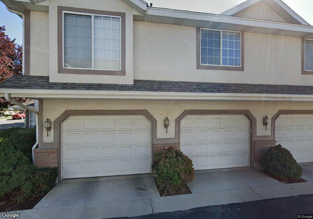
1035 S 250 W Unit DD Provo, UT 84601
Franklin NeighborhoodEstimated Value: $354,000 - $372,000
4
Beds
3
Baths
1,919
Sq Ft
$189/Sq Ft
Est. Value
About This Home
This home is located at 1035 S 250 W Unit DD, Provo, UT 84601 and is currently estimated at $363,643, approximately $189 per square foot. 1035 S 250 W Unit DD is a home located in Utah County with nearby schools including Spring Creek Elementary School, Centennial Middle School, and Timpview High School.
Ownership History
Date
Name
Owned For
Owner Type
Purchase Details
Closed on
Nov 22, 2019
Sold by
Helgeson Virginia Marie Silver
Bought by
Knight Joann and Lytle Brian Richard
Current Estimated Value
Purchase Details
Closed on
Aug 15, 2014
Sold by
Helgeson Virginia Marie
Bought by
Helgeson Virginia Marie Silver
Purchase Details
Closed on
Sep 25, 2003
Sold by
Helgeson Virginia Marie and Estate Of Marie Alma Haynes Si
Bought by
Helgeson Virginia Marie
Create a Home Valuation Report for This Property
The Home Valuation Report is an in-depth analysis detailing your home's value as well as a comparison with similar homes in the area
Home Values in the Area
Average Home Value in this Area
Purchase History
| Date | Buyer | Sale Price | Title Company |
|---|---|---|---|
| Knight Joann | -- | Wasatch Land & Title | |
| Helgeson Virginia Marie Silver | -- | None Available | |
| Helgeson Virginia Marie | -- | Precision Title Company |
Source: Public Records
Tax History Compared to Growth
Tax History
| Year | Tax Paid | Tax Assessment Tax Assessment Total Assessment is a certain percentage of the fair market value that is determined by local assessors to be the total taxable value of land and additions on the property. | Land | Improvement |
|---|---|---|---|---|
| 2025 | $1,906 | $187,660 | $37,900 | $303,300 |
| 2024 | $1,906 | $187,660 | $0 | $0 |
| 2023 | $1,759 | $170,665 | $0 | $0 |
| 2022 | $1,393 | $136,345 | $0 | $0 |
| 2021 | $1,171 | $199,900 | $24,000 | $175,900 |
| 2020 | $1,155 | $184,800 | $22,200 | $162,600 |
| 2019 | $1,005 | $167,200 | $23,000 | $144,200 |
| 2018 | $871 | $146,900 | $22,000 | $124,900 |
| 2017 | $871 | $80,795 | $0 | $0 |
| 2016 | $866 | $74,800 | $0 | $0 |
| 2015 | $784 | $68,475 | $0 | $0 |
| 2014 | $752 | $68,475 | $0 | $0 |
Source: Public Records
Map
Nearby Homes
- 272 W 1020 S Unit B
- 933 S Blvd W
- 1095 S 500 W Unit 11
- 151 S Meadow Dr Unit 19
- 151 S Meadow Dr
- 655 W 1280 S
- 1125 S 770 W
- 648 S 500 W Unit 4
- 330 W 600 S
- 608 S 500 W Unit 3
- 516 S Freedom Blvd
- 389 W 500 S
- 491 S Freedom Blvd Unit 104204
- 590 S 600 W
- 311 W 1610 S
- 475 S 400 W Unit D1
- 784 W Heather Ln
- 461 S 400 W
- 761 W 600 S Unit 12
- 3404 W 1500 N
- 1035 S 250 W
- 1035 S 250 W Unit FF
- 1035 S 250 W Unit EE
- 237 W 1020 S Unit 3
- 237 W 1020 S Unit 2
- 237 W 1020 S
- 237 W 1020 S
- 237 W 1020 S Unit 4
- 1059 S 250 W
- 1059 S 250 W Unit D
- 1059 S 250 W Unit C
- 1059 S 250 W Unit B
- 1059 S 250 W
- 1059 S 250 W Unit F
- 1059 S 250 W Unit 5B
- 1059 S 250 W Unit A
- 1059 S 250 W Unit E
- 1059 S 250 W Unit E
- 1038 S 250 W
- 1038 S 250 W Unit E