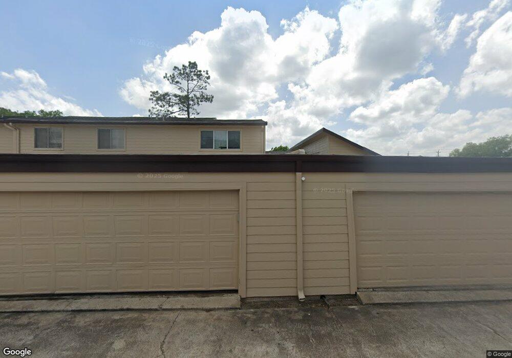
10359 Huntington Place Dr Unit 359 Houston, TX 77099
Alief NeighborhoodEstimated Value: $150,648 - $172,000
2
Beds
2
Baths
1,151
Sq Ft
$140/Sq Ft
Est. Value
About This Home
This home is located at 10359 Huntington Place Dr Unit 359, Houston, TX 77099 and is currently estimated at $160,662, approximately $139 per square foot. 10359 Huntington Place Dr Unit 359 is a home located in Harris County with nearby schools including Kennedy Elementary School, Holub Middle School, and Mata Intermediate School.
Ownership History
Date
Name
Owned For
Owner Type
Purchase Details
Closed on
Jun 25, 2001
Sold by
Ebanks Elaine M
Bought by
Ihechukwudere Nnubia Ignatius
Current Estimated Value
Home Financials for this Owner
Home Financials are based on the most recent Mortgage that was taken out on this home.
Original Mortgage
$46,250
Outstanding Balance
$17,643
Interest Rate
7.16%
Mortgage Type
Stand Alone First
Estimated Equity
$143,019
Purchase Details
Closed on
May 10, 2000
Sold by
Chen Richard Kuo Pei and Chen Emily
Bought by
Ebanks Elaine M
Home Financials for this Owner
Home Financials are based on the most recent Mortgage that was taken out on this home.
Original Mortgage
$40,687
Interest Rate
8.18%
Mortgage Type
Stand Alone First
Create a Home Valuation Report for This Property
The Home Valuation Report is an in-depth analysis detailing your home's value as well as a comparison with similar homes in the area
Home Values in the Area
Average Home Value in this Area
Purchase History
| Date | Buyer | Sale Price | Title Company |
|---|---|---|---|
| Ihechukwudere Nnubia Ignatius | -- | Fidelity National Title | |
| Ebanks Elaine M | -- | First American Title |
Source: Public Records
Mortgage History
| Date | Status | Borrower | Loan Amount |
|---|---|---|---|
| Open | Ihechukwudere Nnubia Ignatius | $46,250 | |
| Previous Owner | Ebanks Elaine M | $40,687 |
Source: Public Records
Tax History Compared to Growth
Tax History
| Year | Tax Paid | Tax Assessment Tax Assessment Total Assessment is a certain percentage of the fair market value that is determined by local assessors to be the total taxable value of land and additions on the property. | Land | Improvement |
|---|---|---|---|---|
| 2025 | $1,863 | $133,562 | $28,715 | $104,847 |
| 2024 | $1,863 | $143,432 | $28,715 | $114,717 |
| 2023 | $1,863 | $143,432 | $28,715 | $114,717 |
| 2022 | $2,757 | $118,528 | $28,715 | $89,813 |
| 2021 | $2,645 | $108,348 | $28,715 | $79,633 |
| 2020 | $2,319 | $100,024 | $28,715 | $71,309 |
| 2019 | $2,212 | $91,203 | $28,715 | $62,488 |
| 2018 | $409 | $85,866 | $28,715 | $57,151 |
| 2017 | $1,810 | $84,368 | $16,030 | $68,338 |
| 2016 | $1,645 | $71,544 | $13,593 | $57,951 |
| 2015 | $1,045 | $71,544 | $13,593 | $57,951 |
| 2014 | $1,045 | $51,762 | $9,835 | $41,927 |
Source: Public Records
Map
Nearby Homes
- 10325 Huntington Place Dr Unit 325
- 12419 Longbrook Dr
- 10362 Cook Rd Unit 187
- 10366 Panther Point Dr
- 10355 Panther Point Dr
- 10327 Panther Point Dr
- 12510 Panther Place Dr
- 10534 Huntington Wood Dr
- 12166 Huntington Venture Dr
- 12431 Huntington Field Dr
- 12623 S Dairy Ashford Rd
- 10602 Tenneta Dr
- 12122 Plumbrook Dr
- 10530 Farmingham Dr
- 12123 Plumpoint Dr
- 12310 Pine Knoll Dr
- 12211 Pine Knoll Dr
- 12830 Tennis Dr
- 12818 Huntington Field Dr
- 11406 Caesar Dr
- 10357 Huntington Place Dr Unit 357
- 10355 Huntington Place Dr Unit 355
- 10355 Huntington Place Dr Unit 33
- 10353 Huntington Place Dr Unit 353
- 10351 Huntington Place Dr Unit 351
- 10331 Huntington Place Dr Unit 331
- 10329 Huntington Place Dr Unit 329
- 10333 Huntington Place Dr Unit 333
- 10375 Huntington Place Dr Unit 375
- 10375 Huntington Place Dr Unit 57
- 10325 Huntington Place Dr Unit 13
- 10335 Huntington Place Dr Unit 335
- 10327 Huntington Place Dr Unit 327
- 10349 Huntington Place Dr
- 10349 Huntington Place Dr Unit 36
- 10337 Huntington Place Dr Unit 337
- 10377 Huntington Place Dr Unit 377
- 10339 Huntington Place Dr Unit 339
- 10323 Huntington Place Dr Unit 323
- 10323 Huntington Place Dr Unit 12