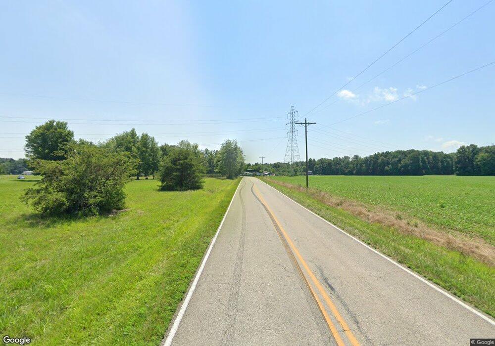
10359 W Fork Rd Georgetown, OH 45121
Estimated Value: $254,000 - $402,382
3
Beds
3
Baths
2,340
Sq Ft
$142/Sq Ft
Est. Value
About This Home
This home is located at 10359 W Fork Rd, Georgetown, OH 45121 and is currently estimated at $331,846, approximately $141 per square foot. 10359 W Fork Rd is a home located in Brown County with nearby schools including Georgetown Elementary School and Georgetown Jr/Sr High School.
Ownership History
Date
Name
Owned For
Owner Type
Purchase Details
Closed on
Mar 30, 2021
Sold by
Newberry Dorothy and Newberry Dorothy M
Bought by
Newberry Michael Creighton and Newberry Martha Ellen
Current Estimated Value
Create a Home Valuation Report for This Property
The Home Valuation Report is an in-depth analysis detailing your home's value as well as a comparison with similar homes in the area
Purchase History
| Date | Buyer | Sale Price | Title Company |
|---|---|---|---|
| Newberry Michael Creighton | -- | Mattingly Ford Title |
Source: Public Records
Tax History
| Year | Tax Paid | Tax Assessment Tax Assessment Total Assessment is a certain percentage of the fair market value that is determined by local assessors to be the total taxable value of land and additions on the property. | Land | Improvement |
|---|---|---|---|---|
| 2024 | $2,966 | $87,660 | $19,990 | $67,670 |
| 2023 | $2,941 | $65,400 | $16,130 | $49,270 |
| 2022 | $2,343 | $67,100 | $17,830 | $49,270 |
| 2021 | $1,983 | $67,100 | $17,830 | $49,270 |
| 2020 | $1,746 | $58,350 | $15,510 | $42,840 |
| 2019 | $1,732 | $58,350 | $15,510 | $42,840 |
| 2018 | $1,718 | $58,350 | $15,510 | $42,840 |
| 2017 | $1,517 | $54,430 | $15,600 | $38,830 |
| 2016 | $1,516 | $54,430 | $15,600 | $38,830 |
| 2015 | $1,557 | $54,430 | $15,600 | $38,830 |
| 2014 | $1,557 | $53,010 | $14,180 | $38,830 |
| 2013 | $1,552 | $53,010 | $14,180 | $38,830 |
Source: Public Records
Map
Nearby Homes
- 9705 W Fork Rd
- 6614 Ashridge Arnheim Rd
- AC Stony Hollow Rd
- 1655 Waynoka Dr
- 106 Sequoia Dr
- 14 Hammerhead Cove
- 118 Shawnee Dr
- 88 Navajo Dr
- LOT Waynoka Dr
- 2 N Kenwood Ave
- 1 N Kenwood Ave
- 427 Kenwood Ave
- 252 Cologne Dr
- 4940 Goose Run Rd
- 0 Zuni Dr Unit 1860578
- 440 Waynoka Dr
- 3 Wagon Wheel Cir
- 5 Wagon Wheel Cir
- 60 New St
- 508 Mount Orab Pike
- 10367 W Fork Rd
- 10341 W Fork Rd
- 10360 W Fork Rd
- 10321 W Fork Rd
- 10317 W Fork Rd
- 10305 W Fork Rd
- 5.51ac Westfork Rd
- 6.490Ac Westfork Rd
- 10433 W Fork Rd
- 5836 Seip Rd
- 10289 W Fork Rd
- 5802 Seip Rd
- 10282 W Fork Rd
- 10287 W Fork Rd
- 5766 Seip Rd
- 5781 Seip Rd
- 10469 W Fork Rd
- 10269 W Fork Rd
- 10262 W Fork Rd
- 10252 W Fork Rd
