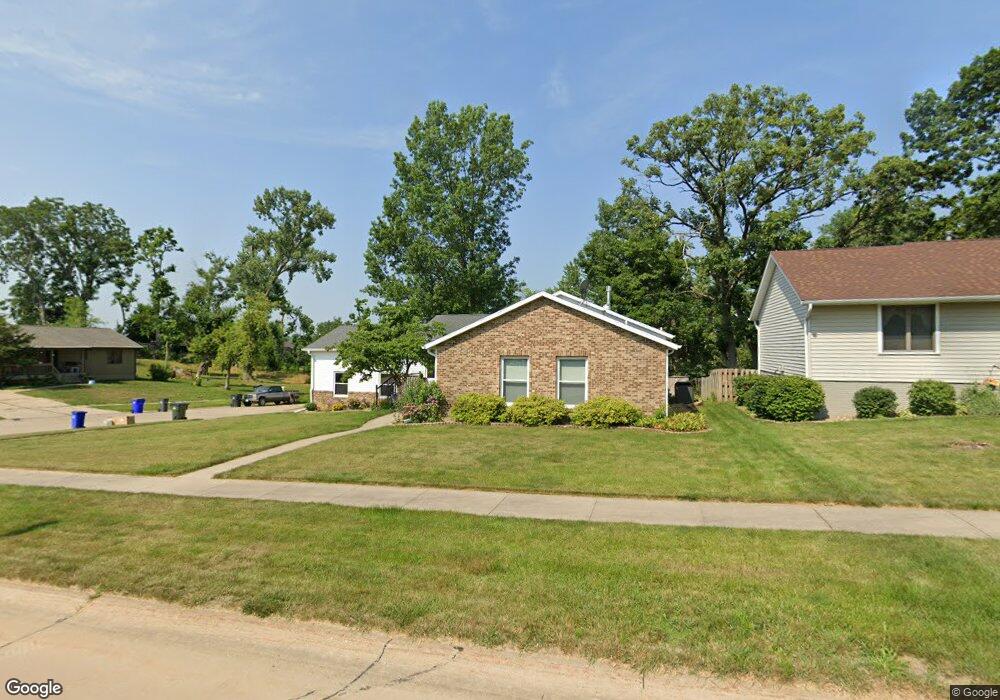
1036 Arthur Dr NW Cedar Rapids, IA 52405
Estimated Value: $226,422 - $296,000
2
Beds
3
Baths
1,415
Sq Ft
$188/Sq Ft
Est. Value
About This Home
This home is located at 1036 Arthur Dr NW, Cedar Rapids, IA 52405 and is currently estimated at $266,356, approximately $188 per square foot. 1036 Arthur Dr NW is a home located in Linn County with nearby schools including Madison Elementary School, Roosevelt Creative Corridor Business Academy, and John F. Kennedy High School.
Ownership History
Date
Name
Owned For
Owner Type
Purchase Details
Closed on
Oct 9, 1997
Sold by
Wilford Thomas G and Wilford Carolee
Bought by
Perry Kevin S and Perry Lisa M
Current Estimated Value
Home Financials for this Owner
Home Financials are based on the most recent Mortgage that was taken out on this home.
Original Mortgage
$100,000
Outstanding Balance
$16,349
Interest Rate
7.65%
Estimated Equity
$250,007
Create a Home Valuation Report for This Property
The Home Valuation Report is an in-depth analysis detailing your home's value as well as a comparison with similar homes in the area
Purchase History
| Date | Buyer | Sale Price | Title Company |
|---|---|---|---|
| Perry Kevin S | $129,500 | -- |
Source: Public Records
Mortgage History
| Date | Status | Borrower | Loan Amount |
|---|---|---|---|
| Open | Perry Kevin S | $100,000 |
Source: Public Records
Tax History
| Year | Tax Paid | Tax Assessment Tax Assessment Total Assessment is a certain percentage of the fair market value that is determined by local assessors to be the total taxable value of land and additions on the property. | Land | Improvement |
|---|---|---|---|---|
| 2025 | $3,522 | $217,000 | $53,900 | $163,100 |
| 2024 | $3,734 | $228,400 | $50,200 | $178,200 |
| 2023 | $3,734 | $209,500 | $46,500 | $163,000 |
| 2022 | $3,666 | $185,900 | $39,000 | $146,900 |
| 2021 | $3,824 | $185,900 | $39,000 | $146,900 |
| 2020 | $3,824 | $181,900 | $29,700 | $152,200 |
| 2019 | $3,444 | $168,300 | $29,700 | $138,600 |
Source: Public Records
Map
Nearby Homes
- 2908 Schultz Dr NW
- 1410 Adair Ct SW Unit Lot 2
- 3500 Sunnydale St NW
- 346 32nd St NW
- 2430 O Ave NW
- 3010 Johnson Ave NW
- 3503 East Ave NW
- 3507 E Ave NW Unit F
- 327 NW Edgewood Rd Unit 324, 330, 336, 342 C
- 1634 24th St NW
- 2210 O Ave NW
- 1630 Woodside Ct NW
- 1860 E Ave NW
- 327* Edgewood Rd NW
- 1632 Elaine Dr NW
- 1119 18th St NW
- 1024 Cheyenne Rd NW
- 158 32nd St NW
- 116 Edgewood Rd NW
- 1722 B Ave NW
- 1037 Arthur Dr NW
- 2719 Iris Ave NW
- 1048 Arthur Dr NW
- 2715 Iris Ave NW
- 2815 Waveland Dr NW
- 2711 Iris Ave NW
- 1041 Arthur Dr NW
- 2825 Waveland Dr NW
- 1047 Arthur Dr NW
- 2707 Iris Ave NW
- 2828 Iris Ave NW
- 2718 Lancelot Ln NW
- 2712 Lancelot Ln NW
- 2702 Iris Ave NW
- 2706 Lancelot Ln NW
- 2901 Waveland Dr NW
- 2806 Lancelot Ln NW
- 2829 Iris Ave NW
- 2700 Lancelot Ln NW
- 2832 Iris Ave NW
Your Personal Tour Guide
Ask me questions while you tour the home.