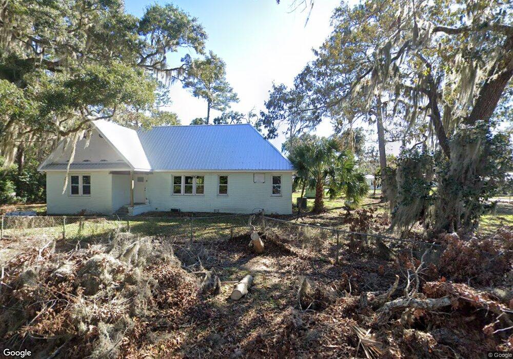
1036 Cedar St NE Townsend, GA 31331
Crescent NeighborhoodEstimated Value: $256,000 - $409,000
--
Bed
1
Bath
1,640
Sq Ft
$199/Sq Ft
Est. Value
About This Home
This home is located at 1036 Cedar St NE, Townsend, GA 31331 and is currently estimated at $325,667, approximately $198 per square foot. 1036 Cedar St NE is a home with nearby schools including Todd Grant Elementary School, McIntosh County Middle School, and McIntosh County Academy.
Ownership History
Date
Name
Owned For
Owner Type
Purchase Details
Closed on
Aug 2, 2006
Sold by
Horton Wayne T
Bought by
Tapley Vickey Horton
Current Estimated Value
Purchase Details
Closed on
May 2, 2005
Sold by
Horton Wayne T
Bought by
Tapley Vickey Horton
Purchase Details
Closed on
Sep 1, 1994
Bought by
Horton Wayne and Horton Joyce
Purchase Details
Closed on
Aug 30, 1994
Bought by
Rivers Homer and Rivers Marth
Create a Home Valuation Report for This Property
The Home Valuation Report is an in-depth analysis detailing your home's value as well as a comparison with similar homes in the area
Home Values in the Area
Average Home Value in this Area
Purchase History
| Date | Buyer | Sale Price | Title Company |
|---|---|---|---|
| Tapley Vickey Horton | -- | -- | |
| Tapley Vickey Horton | -- | -- | |
| Horton Wayne | $57,000 | -- | |
| Rivers Homer | $30,000 | -- |
Source: Public Records
Tax History Compared to Growth
Tax History
| Year | Tax Paid | Tax Assessment Tax Assessment Total Assessment is a certain percentage of the fair market value that is determined by local assessors to be the total taxable value of land and additions on the property. | Land | Improvement |
|---|---|---|---|---|
| 2024 | $3,262 | $112,112 | $25,480 | $86,632 |
| 2023 | $2,262 | $75,792 | $9,880 | $65,912 |
| 2022 | $1,975 | $65,476 | $9,880 | $55,596 |
| 2021 | $1,390 | $52,320 | $9,880 | $42,440 |
| 2020 | $1,631 | $52,488 | $12,000 | $40,488 |
| 2019 | $1,515 | $51,272 | $12,000 | $39,272 |
| 2018 | $1,363 | $51,272 | $12,000 | $39,272 |
| 2017 | $1,538 | $51,392 | $14,400 | $36,992 |
| 2016 | $1,518 | $51,392 | $14,400 | $36,992 |
| 2015 | $1,391 | $47,425 | $12,000 | $35,426 |
| 2014 | $1,393 | $47,426 | $12,000 | $35,426 |
Source: Public Records
Map
Nearby Homes
- 1629 River St NE
- 1207 Lewis Ln NE
- 1334 Azalea Rd NE
- 1225 NE O'Neal Dr
- 1262 Sapelo Gardens
- 1042 Edgewater Dr NE
- Lot 45 Marsh Dr NE
- 1156 Marsh Dr NE
- 1303 Marsh Dr NE
- 3308 Fair Hope Rd NE
- 1304 Old Smokey
- 1443 Gillican Ave NE
- 1321 Shell Point Rd NE
- 0 Pelican Perch Rd
- 1106 Shell Point Rd NE
- 1057 Shell Point Rd NE
- 3558 Belle Hammock Rd NE
- 3217 Coopers Point Dr NE
- LOT 309 Cooper's Point Dr NE
- 11.73 Acres On Smith Rd SE
- 1059 River St NE
- 1031 Pt Lts St NE
- 1045 Cedar St NE
- 1013 Cedar St NE
- 2-LOTS River St
- 1010 River St NE
- 1071 River St NE
- 2252 Susie Baker Rd NE
- 1048 River St NE
- 1056 River St NE
- 1061 Cedar St NE
- 1027 Boundary St NE
- 1079 Cedar St NE
- 1102 Cedar St NE
- 1068 River St NE
- 1078 River St NE
- 1104 Cedar St NE
- 1356 White Bluff Rd NE
- 1638 White Bluff Rd
- 1113 Cedar St NE