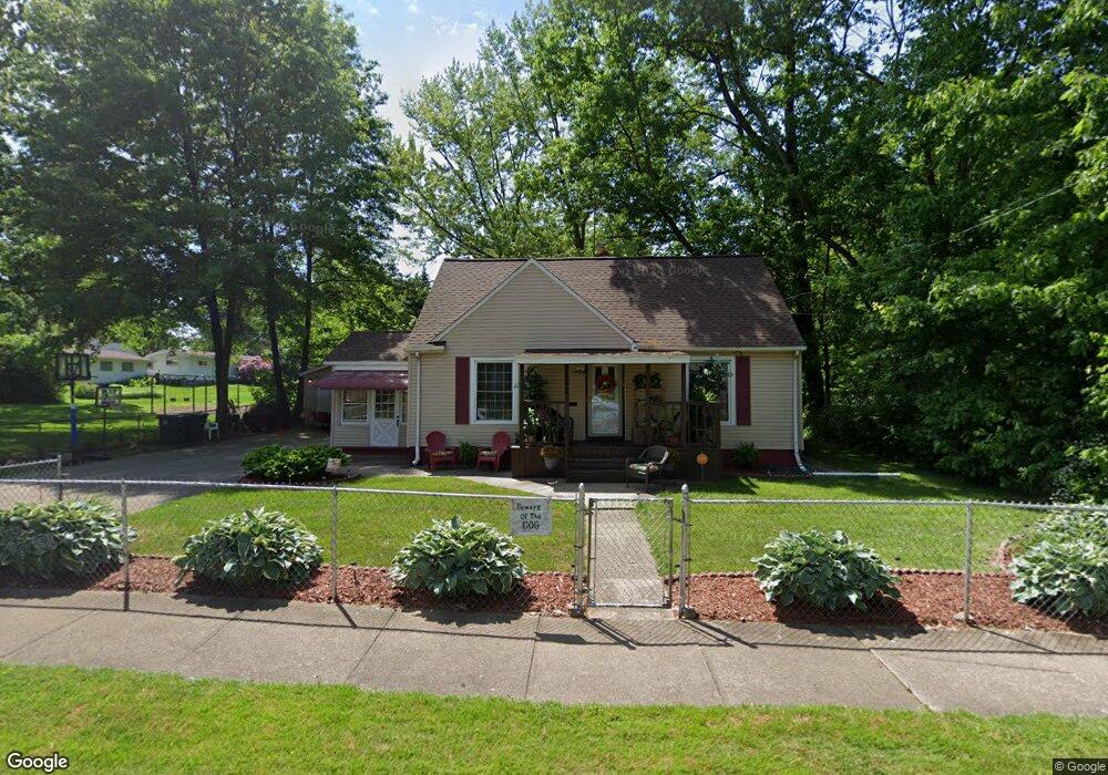
1036 Dover Ave Akron, OH 44320
West Akron NeighborhoodEstimated Value: $100,876 - $144,000
3
Beds
1
Bath
816
Sq Ft
$145/Sq Ft
Est. Value
About This Home
This home is located at 1036 Dover Ave, Akron, OH 44320 and is currently estimated at $118,469, approximately $145 per square foot. 1036 Dover Ave is a home located in Summit County with nearby schools including Emmanuel Christian Academy and Julie Billiart School Akron.
Ownership History
Date
Name
Owned For
Owner Type
Purchase Details
Closed on
Jul 27, 2021
Sold by
Rahieem Beverly J and Hosey Beverly J
Bought by
Epps Thomas Robin Yvonne
Current Estimated Value
Home Financials for this Owner
Home Financials are based on the most recent Mortgage that was taken out on this home.
Original Mortgage
$64,000
Outstanding Balance
$57,998
Interest Rate
2.96%
Mortgage Type
New Conventional
Estimated Equity
$60,471
Purchase Details
Closed on
Sep 16, 1997
Sold by
Thomas Ruby
Bought by
Sharrieff Najee A
Create a Home Valuation Report for This Property
The Home Valuation Report is an in-depth analysis detailing your home's value as well as a comparison with similar homes in the area
Home Values in the Area
Average Home Value in this Area
Purchase History
| Date | Buyer | Sale Price | Title Company |
|---|---|---|---|
| Epps Thomas Robin Yvonne | $80,000 | Fidelity National Title | |
| Sharrieff Najee A | $49,750 | -- |
Source: Public Records
Mortgage History
| Date | Status | Borrower | Loan Amount |
|---|---|---|---|
| Open | Epps Thomas Robin Yvonne | $64,000 |
Source: Public Records
Tax History
| Year | Tax Paid | Tax Assessment Tax Assessment Total Assessment is a certain percentage of the fair market value that is determined by local assessors to be the total taxable value of land and additions on the property. | Land | Improvement |
|---|---|---|---|---|
| 2024 | $1,283 | $23,485 | $5,607 | $17,878 |
| 2023 | $1,283 | $23,485 | $5,607 | $17,878 |
| 2022 | $1,008 | $14,235 | $3,399 | $10,836 |
| 2021 | $1,009 | $14,235 | $3,399 | $10,836 |
| 2020 | $994 | $14,240 | $3,400 | $10,840 |
| 2019 | $1,112 | $14,610 | $4,410 | $10,200 |
| 2018 | $1,098 | $14,610 | $4,410 | $10,200 |
| 2017 | $1,190 | $14,610 | $4,410 | $10,200 |
| 2016 | $1,191 | $14,830 | $4,410 | $10,420 |
| 2015 | $1,190 | $14,830 | $4,410 | $10,420 |
| 2014 | $1,181 | $14,830 | $4,410 | $10,420 |
| 2013 | $1,348 | $17,590 | $4,410 | $13,180 |
Source: Public Records
Map
Nearby Homes
- 1088 Packard Dr
- 934 Packard Dr
- 926 Winton Ave
- 970 Mercer Ave
- 1040 Mercer Ave
- 957 Mercer Ave
- 892-894 Storer Ave
- 1188 Hardesty Blvd
- 869 Packard Dr
- 852 Storer Ave
- 1194 Greenwood Ave
- VL Mercer Ave
- 1248 Greenwood Ave
- 801 Storer Ave
- 1255 Dover Ave
- 1291 Roslyn Ave
- 1126 Orlando Ave
- 615 Noah Ave
- 1327 Crestview Ave
- 616 Noble Ave
- 1036 Dover Ave
- 1046 Dover Ave
- 1037 Dover Ave
- 1037 Hardesty Blvd
- 1024 Dover Ave
- 1050 Dover Ave
- 1041 Dover Ave
- 1029 Dover Ave
- 1029 Hardesty Blvd
- 1049 Hardesty Blvd
- 1033 Hardesty Blvd
- 1023 Dover Ave
- 1058 Dover Ave
- 1049 Dover Ave
- 1023 Hardesty Blvd
- 1055 Hardesty Blvd
- 1053 Dover Ave
- 1062 Dover Ave
- 1014 Dover Ave
- 1057 Dover Ave
Your Personal Tour Guide
Ask me questions while you tour the home.