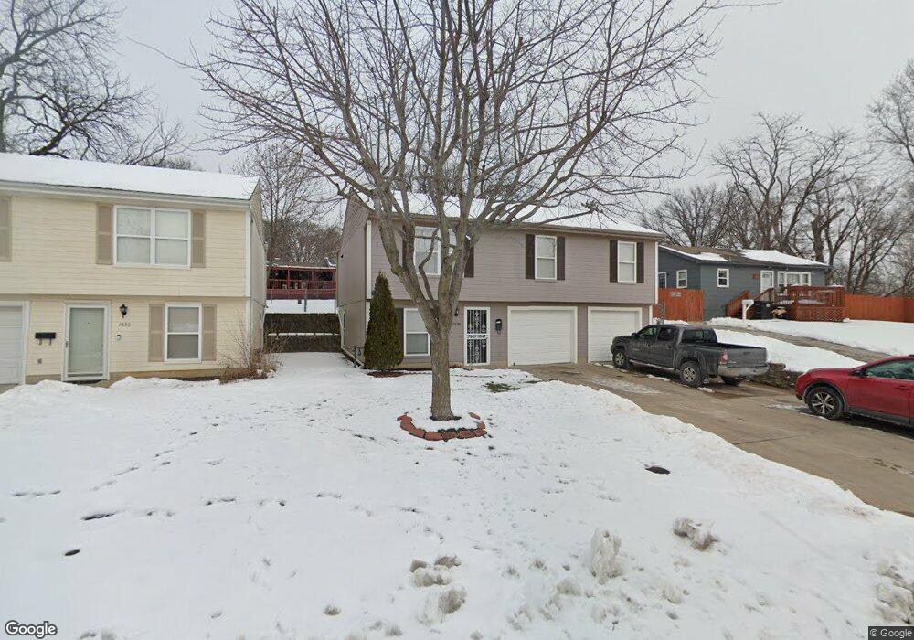
1036 E T C Lea Rd Independence, MO 64050
Town Hall NeighborhoodEstimated Value: $204,000 - $289,000
4
Beds
2
Baths
1,128
Sq Ft
$208/Sq Ft
Est. Value
About This Home
This home is located at 1036 E T C Lea Rd, Independence, MO 64050 and is currently estimated at $234,236, approximately $207 per square foot. 1036 E T C Lea Rd is a home located in Jackson County with nearby schools including Thomas Hart Benton Elementary School, Bridger Middle School, and Bingham Middle School.
Ownership History
Date
Name
Owned For
Owner Type
Purchase Details
Closed on
Jan 10, 2005
Sold by
Bausback Gregory C and Bausback Tanya V
Bought by
Sanchez Cruz
Current Estimated Value
Home Financials for this Owner
Home Financials are based on the most recent Mortgage that was taken out on this home.
Original Mortgage
$124,134
Outstanding Balance
$62,880
Interest Rate
5.8%
Mortgage Type
FHA
Estimated Equity
$171,356
Purchase Details
Closed on
Feb 25, 2004
Sold by
Bausback Gregory C and Bausback Tanya V
Bought by
Bausback Gregory C and Bausback Tanya V
Create a Home Valuation Report for This Property
The Home Valuation Report is an in-depth analysis detailing your home's value as well as a comparison with similar homes in the area
Home Values in the Area
Average Home Value in this Area
Purchase History
| Date | Buyer | Sale Price | Title Company |
|---|---|---|---|
| Sanchez Cruz | -- | Security Land Title Company | |
| Bausback Gregory C | -- | -- |
Source: Public Records
Mortgage History
| Date | Status | Borrower | Loan Amount |
|---|---|---|---|
| Open | Sanchez Cruz | $124,134 |
Source: Public Records
Tax History
| Year | Tax Paid | Tax Assessment Tax Assessment Total Assessment is a certain percentage of the fair market value that is determined by local assessors to be the total taxable value of land and additions on the property. | Land | Improvement |
|---|---|---|---|---|
| 2025 | $1,951 | $30,735 | $2,328 | $28,407 |
| 2024 | $1,951 | $28,154 | $1,235 | $26,919 |
| 2023 | $1,906 | $28,154 | $1,237 | $26,917 |
| 2022 | $2,035 | $27,550 | $1,397 | $26,153 |
| 2021 | $2,034 | $27,550 | $1,397 | $26,153 |
| 2020 | $1,865 | $24,547 | $1,397 | $23,150 |
| 2019 | $1,835 | $24,547 | $1,397 | $23,150 |
| 2018 | $1,777 | $22,685 | $2,107 | $20,578 |
| 2016 | $1,667 | $21,075 | $1,174 | $19,901 |
Source: Public Records
Map
Nearby Homes
- 912 E Frederick St
- 1004 N Duvall Ave
- 611 N Sunset Dr
- 606 N Rogers St
- 719 E College St
- 500 N Saville Ct
- 15103 E Truman Rd
- 1014 E Smith Ave
- 119 N Wilson St
- 1017 E Smith Ave
- 103 N Wilson St
- 1504 N Emery St
- 204 S Rogers St
- 1749 Sinnott Cir
- 307 E 3rd Dr S
- 1420 & 1422 S Haden Ct
- 145 E Farmer St
- 524 E Walnut St
- 1820 E Morgan Rd
- 15707 E 3rd Terrace S
- 1032 E T C Lea Rd
- 1028 E T C Lea Rd
- 1027 E Frederick St
- 1100 E T C Lea Rd
- 730 N Sunrise Dr
- 1101 E Frederick St
- 1022 E T C Lea Rd
- 731 N Sunrise Dr
- 721 N Sunset Dr
- 728 N Sunrise Dr
- 727 N Sunrise Dr
- 1105 E Frederick St
- 719 N Sunset Dr
- 1026 E Frederick St
- 920 E Frederick St
- 724 N Sunrise Dr
- 717 N Sunset Dr
- 1110 E Frederick St
- 723 N Sunrise Dr
- 1112 E T C Lea Rd
Your Personal Tour Guide
Ask me questions while you tour the home.