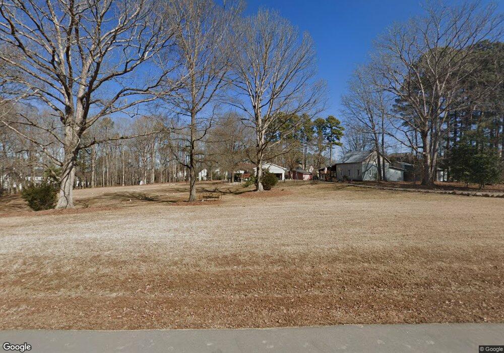
1036 Ferson Rd Apex, NC 27523
Weldon Ridge NeighborhoodEstimated Value: $876,000 - $1,373,837
--
Bed
2
Baths
1,950
Sq Ft
$605/Sq Ft
Est. Value
About This Home
This home is located at 1036 Ferson Rd, Apex, NC 27523 and is currently estimated at $1,179,946, approximately $605 per square foot. 1036 Ferson Rd is a home located in Wake County with nearby schools including White Oak Elementary School, Mills Park Middle School, and Green Level High School.
Ownership History
Date
Name
Owned For
Owner Type
Purchase Details
Closed on
Mar 13, 2008
Sold by
Ferrell John Lee and Ferrell Candice E
Bought by
Ferrell John Lee and Ferrell Candice E
Current Estimated Value
Home Financials for this Owner
Home Financials are based on the most recent Mortgage that was taken out on this home.
Original Mortgage
$95,000
Outstanding Balance
$58,833
Interest Rate
5.63%
Mortgage Type
New Conventional
Estimated Equity
$1,121,113
Purchase Details
Closed on
Jan 27, 1988
Bought by
Ferrell John Lee and Ferrell Candice E
Create a Home Valuation Report for This Property
The Home Valuation Report is an in-depth analysis detailing your home's value as well as a comparison with similar homes in the area
Home Values in the Area
Average Home Value in this Area
Purchase History
| Date | Buyer | Sale Price | Title Company |
|---|---|---|---|
| Ferrell John Lee | -- | None Available | |
| Ferrell John Lee | $4,000 | -- |
Source: Public Records
Mortgage History
| Date | Status | Borrower | Loan Amount |
|---|---|---|---|
| Open | Ferrell John Lee | $95,000 |
Source: Public Records
Tax History Compared to Growth
Tax History
| Year | Tax Paid | Tax Assessment Tax Assessment Total Assessment is a certain percentage of the fair market value that is determined by local assessors to be the total taxable value of land and additions on the property. | Land | Improvement |
|---|---|---|---|---|
| 2025 | $6,991 | $1,089,931 | $795,000 | $294,931 |
| 2024 | $6,788 | $1,089,931 | $795,000 | $294,931 |
| 2023 | $5,009 | $639,864 | $440,000 | $199,864 |
| 2022 | $4,641 | $639,864 | $440,000 | $199,864 |
| 2021 | $4,516 | $639,864 | $440,000 | $199,864 |
| 2020 | $4,441 | $639,864 | $440,000 | $199,864 |
| 2019 | $3,287 | $399,987 | $243,600 | $156,387 |
| 2018 | $3,022 | $399,987 | $243,600 | $156,387 |
| 2017 | $2,864 | $399,987 | $243,600 | $156,387 |
| 2016 | $2,806 | $399,987 | $243,600 | $156,387 |
| 2015 | $2,959 | $423,214 | $256,000 | $167,214 |
| 2014 | $2,805 | $423,214 | $256,000 | $167,214 |
Source: Public Records
Map
Nearby Homes
- 1021 Ferson Rd
- 841 Money Island Place
- 832 Money Island Place
- 1405 Rich Inlet Ct
- 105 Jessfield Place
- 7208 Ryehill Dr
- 609 Crooked Pine Dr
- Berkley Plan at Young Farm
- Newport Plan at Young Farm
- Ashford Plan at Young Farm
- Sheridan Plan at Young Farm
- Montclair Plan at Young Farm
- Wayland Plan at Young Farm
- Bedford Plan at Young Farm
- 230 Tidal Pool Way
- 601 Lauren Ann Dr
- 1309 Montvale Ridge Dr
- 1729 Clydner Dr
- 2128 Vandiver Way
- 147 Rivulet Ct
- 1032 Ferson Rd
- 6321 Rambleford Dr Unit Lt162
- 6325 Rambleford Dr Unit Lt163
- 6400 Reserve Pine Dr
- 6317 Rambleford Dr Unit Lt161
- 6317 Rambleford Dr
- 1033 Ferson Rd
- 6313 Rambleford Dr Unit Lt160
- 6408 Reserve Pine Dr
- 1504 Stratford Ridge Ln Unit Lt172
- 1017 Ferson Rd
- 1100 Ferson Rd
- 804 Montvale Ridge Dr
- 1500 Stratford Ridge Ln
- 1500 Stratford Ridge Ln Unit Lt171
- 1441 Stratford Ridge Ln
- 1441 Stratford Ridge Ln Unit LT155
- 708 Avoca Ct
- 704 Avoca Ct
- 6416 Reserve Pine Dr