1036 Highway 51 Waukon, IA 52172
Estimated Value: $252,000 - $313,701
3
Beds
1
Bath
1,967
Sq Ft
$140/Sq Ft
Est. Value
About This Home
This home is located at 1036 Highway 51, Waukon, IA 52172 and is currently estimated at $274,900, approximately $139 per square foot. 1036 Highway 51 is a home located in Allamakee County with nearby schools including West Campus Elementary School, East Campus Elementary School, and Waukon Middle School.
Ownership History
Date
Name
Owned For
Owner Type
Purchase Details
Closed on
Mar 20, 2008
Sold by
Duvel Bernice M
Bought by
Peterson Michael N and Peterson Audrey A
Current Estimated Value
Create a Home Valuation Report for This Property
The Home Valuation Report is an in-depth analysis detailing your home's value as well as a comparison with similar homes in the area
Home Values in the Area
Average Home Value in this Area
Purchase History
| Date | Buyer | Sale Price | Title Company |
|---|---|---|---|
| Peterson Michael N | $95,000 | None Available |
Source: Public Records
Tax History Compared to Growth
Tax History
| Year | Tax Paid | Tax Assessment Tax Assessment Total Assessment is a certain percentage of the fair market value that is determined by local assessors to be the total taxable value of land and additions on the property. | Land | Improvement |
|---|---|---|---|---|
| 2025 | $1,920 | $174,500 | $8,200 | $166,300 |
| 2024 | $1,920 | $164,200 | $6,300 | $157,900 |
| 2023 | $1,744 | $157,500 | $6,300 | $151,200 |
| 2022 | $1,376 | $114,800 | $5,200 | $109,600 |
| 2021 | $1,326 | $116,000 | $5,800 | $110,200 |
| 2020 | $1,326 | $106,500 | $5,700 | $100,800 |
| 2019 | $1,258 | $107,700 | $0 | $0 |
| 2018 | $1,222 | $107,700 | $0 | $0 |
| 2017 | $1,222 | $100,500 | $0 | $0 |
| 2016 | $1,076 | $100,500 | $0 | $0 |
| 2015 | $1,076 | $106,600 | $0 | $0 |
| 2014 | $1,130 | $106,600 | $0 | $0 |
Source: Public Records
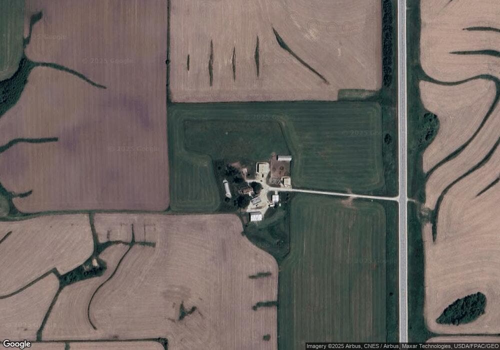
Map
Nearby Homes
- Tbd
- Tbd
- 866 Cooks Rd
- 303 5th St SW
- 0 SW 11th Ave Unit 20222752
- 605 1st Ave SW
- Allamakee Co. Ia Parcel Id#
- 104 6th Ave SW
- 607 W Main St
- 208 4th St SW
- 430 9th St NW
- 306 Sw St
- 22 3rd Ave SE
- 0 Parcel Id#1031351007 Unit 20211899
- 0 Parcel Id#1506100051 Unit 20211897
- 0 Parcel Id#1031376012 Unit 20211905
- 0 Parcel Id#1031376013 Unit 20211902
- 0 Parcel Id#1031351004 Unit 20211906
- 0 Parcel Id#1031376005 Unit 20211907
- 0 Parcel Id#1031351006 Unit 20211900
- 267 Countryside Dr
- 291 Picnic Woods Dr
- 316 Countryside Dr
- 334 Countryside Dr
- 290 Picnic Woods Dr
- 259 Picnic Woods Dr
- 276 Picnic Woods Dr
- 252 Picnic Woods Dr
- 321 Countryside Dr
- 316 Picnic Woods Dr
- 330 Picnic Woods Dr
- 343 Picnic Woods Dr
- 351 Picnic Woods Dr
- 204 Countryside Dr
- 344 Picnic Woods Dr
- 370 Countryside Dr
- 346 Picnic Woods Dr
- 205 Countryside Dr
- 350 Picnic Woods Dr
- 0 Pole Line Rd