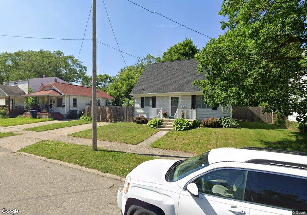
1036 Ingleside Ave Flint, MI 48507
South Side NeighborhoodEstimated Value: $61,000 - $86,000
3
Beds
2
Baths
1,098
Sq Ft
$63/Sq Ft
Est. Value
About This Home
This home is located at 1036 Ingleside Ave, Flint, MI 48507 and is currently estimated at $69,530, approximately $63 per square foot. 1036 Ingleside Ave is a home located in Genesee County with nearby schools including Neithercut Elementary School, Flint Southwestern Classical Academy, and International Academy of Flint (K-12).
Ownership History
Date
Name
Owned For
Owner Type
Purchase Details
Closed on
Jan 25, 2011
Sold by
Sitto Nagham
Bought by
Sitto Refed
Current Estimated Value
Purchase Details
Closed on
Jan 12, 2005
Sold by
Bradburn George H and Bradburn Marilyn J
Bought by
Sneed Steven R
Purchase Details
Closed on
Jun 24, 2002
Sold by
The City Of Flint
Bought by
Sitto Nagham
Create a Home Valuation Report for This Property
The Home Valuation Report is an in-depth analysis detailing your home's value as well as a comparison with similar homes in the area
Home Values in the Area
Average Home Value in this Area
Purchase History
| Date | Buyer | Sale Price | Title Company |
|---|---|---|---|
| Sitto Refed | -- | Rofed Title | |
| Sneed Steven R | $75,000 | First American Title | |
| Sitto Nagham | -- | None Available |
Source: Public Records
Tax History Compared to Growth
Tax History
| Year | Tax Paid | Tax Assessment Tax Assessment Total Assessment is a certain percentage of the fair market value that is determined by local assessors to be the total taxable value of land and additions on the property. | Land | Improvement |
|---|---|---|---|---|
| 2025 | $1,100 | $22,500 | $0 | $0 |
| 2024 | $993 | $23,400 | $0 | $0 |
| 2023 | $973 | $18,900 | $0 | $0 |
| 2022 | $0 | $16,800 | $0 | $0 |
| 2021 | $1,014 | $15,100 | $0 | $0 |
| 2020 | $910 | $15,100 | $0 | $0 |
| 2019 | $885 | $15,400 | $0 | $0 |
| 2018 | $893 | $13,700 | $0 | $0 |
| 2017 | $867 | $0 | $0 | $0 |
| 2016 | $861 | $0 | $0 | $0 |
| 2015 | -- | $0 | $0 | $0 |
| 2014 | -- | $0 | $0 | $0 |
| 2012 | -- | $16,700 | $0 | $0 |
Source: Public Records
Map
Nearby Homes
- 1031 Ingleside Ave
- 1122 Markham St
- 1039 Markham St
- 1015 Alvord Ave
- 1234 Huron St
- 4418 Brunswick Ave
- 1318 Ingleside Ave
- 1310 Huron St
- 1212 Crawford St
- 1329 Huron St
- 3322 Fenton Rd
- 845 Alvord Ave
- 829 Clinton St
- 1416 Blackberry Ln
- 1228 Leland St
- 1028 Campbell St
- 1418 Blueberry Ln
- 818 Alvord Ave
- 805 Alvord Ave
- 1102 W Atherton Rd
- 1040 Ingleside Ave
- 1028 Ingleside Ave
- 1027 Huron St
- 1044 Ingleside Ave
- 1035 Huron St
- 1020 Ingleside Ave
- 1102 Ingleside Ave
- 1039 Huron St
- 1023 Huron St
- 1035 Ingleside Ave
- 1039 Ingleside Ave
- 1016 Ingleside Ave
- 1043 Ingleside Ave
- 1105 Huron St
- 1110 Ingleside Ave
- 1011 Ingleside Ave
- 1109 Ingleside Ave
- 1036 Pinehurst Ave
- 1028 Pinehurst Ave
- 1042 Pinehurst Ave