1036 Macdonald St Tignall, GA 30668
Estimated Value: $72,101 - $199,000
--
Bed
1
Bath
726
Sq Ft
$212/Sq Ft
Est. Value
About This Home
This home is located at 1036 Macdonald St, Tignall, GA 30668 and is currently estimated at $153,775, approximately $211 per square foot. 1036 Macdonald St is a home located in Lincoln County with nearby schools including Lincoln County Elementary School, Lincoln County Middle School, and Lincoln County High School.
Ownership History
Date
Name
Owned For
Owner Type
Purchase Details
Closed on
Apr 9, 2015
Sold by
Chafin Shirley A
Bought by
Warren Lonnie and Warren Penny
Current Estimated Value
Purchase Details
Closed on
Oct 10, 2014
Sold by
Johnson Douglas
Bought by
Chafin Shirley A
Purchase Details
Closed on
Feb 13, 2013
Sold by
Chafin Shirley A
Bought by
Johnson Douglas and Johnson Irene H
Home Financials for this Owner
Home Financials are based on the most recent Mortgage that was taken out on this home.
Original Mortgage
$25,000
Interest Rate
3.4%
Mortgage Type
New Conventional
Purchase Details
Closed on
Jun 11, 2010
Sold by
Chafin Troy
Bought by
Chafin Shirley
Purchase Details
Closed on
Aug 8, 1998
Sold by
Garrett Willard C
Bought by
Chafin Troy and Chafin Shirle
Purchase Details
Closed on
Mar 23, 1973
Sold by
Lakewood Corp
Bought by
Garrett Williard C and Garrett Shirley W
Create a Home Valuation Report for This Property
The Home Valuation Report is an in-depth analysis detailing your home's value as well as a comparison with similar homes in the area
Home Values in the Area
Average Home Value in this Area
Purchase History
| Date | Buyer | Sale Price | Title Company |
|---|---|---|---|
| Warren Lonnie | $15,000 | -- | |
| Chafin Shirley A | -- | -- | |
| Johnson Douglas | $30,000 | -- | |
| Chafin Shirley | -- | -- | |
| Chafin Troy | $16,300 | -- | |
| Garrett Williard C | $600 | -- |
Source: Public Records
Mortgage History
| Date | Status | Borrower | Loan Amount |
|---|---|---|---|
| Previous Owner | Johnson Douglas | $25,000 |
Source: Public Records
Tax History Compared to Growth
Tax History
| Year | Tax Paid | Tax Assessment Tax Assessment Total Assessment is a certain percentage of the fair market value that is determined by local assessors to be the total taxable value of land and additions on the property. | Land | Improvement |
|---|---|---|---|---|
| 2025 | $708 | $16,760 | $1,800 | $14,960 |
| 2024 | $638 | $15,720 | $1,800 | $13,920 |
| 2023 | $595 | $14,080 | $1,800 | $12,280 |
| 2022 | $560 | $13,560 | $1,800 | $11,760 |
| 2021 | $564 | $12,480 | $1,800 | $10,680 |
| 2020 | $555 | $10,480 | $1,800 | $8,680 |
| 2019 | $556 | $10,480 | $1,800 | $8,680 |
| 2018 | $329 | $10,480 | $1,800 | $8,680 |
| 2017 | $314 | $10,000 | $1,600 | $8,400 |
| 2016 | $338 | $10,000 | $1,600 | $8,400 |
| 2015 | -- | $10,000 | $1,600 | $8,400 |
| 2014 | -- | $10,000 | $1,600 | $8,400 |
| 2013 | -- | $10,000 | $1,600 | $8,400 |
Source: Public Records
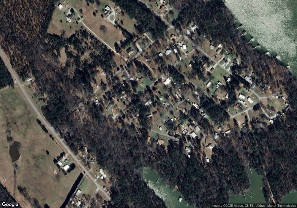
Map
Nearby Homes
- 1051 Macdonald St
- 12 Doe Run
- 1235 Edge Ln
- 1229 Edge Ln
- 1223 Edge Ln
- 1217 Edge Ln
- 1277 Edge Ln
- 1210 Edge Ln
- 1070 Cody Trail
- 1039 Merganser Cove
- 1252 Rogers Rd
- 0 Doe Dr
- 1103 Winding Ridge Dr
- 1120 Hardwood Dr
- 07 Savannah Bay Dr
- 06 Savannah Bay Dr
- 10B Savannah Bay Dr
- 1034 N Pointe Ct
- 1034 Shore Line Dr
- 1139 Hester S Ferry Rd
- 1011 Lewis St
- 1005 Lewis St
- 1027 Lewis St
- 1059 Macdonald St
- 1099 Shore Line Dr
- 1016 Lewis St
- 1016 Lewis St
- 1016 Lewis Crook Rd
- 1080 Lincoln St
- 1070 Shore Line Dr
- 1030 Lewis St
- 1055 Lewis St
- 1054 Shore Line Dr
- 1038 Lewis St
- 1030 Lewis St
- 1030 Lewis Crook Rd
- 1066 Lincoln St
- 1100 Shore Line Dr
- 1126 Lincoln St
- 1058 Lewis St