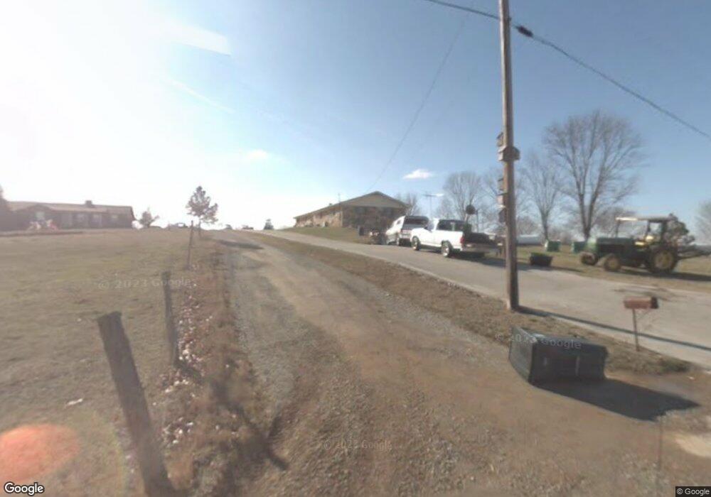
1036 Maxey Rd Morristown, TN 37813
Estimated Value: $462,000 - $610,000
--
Bed
2
Baths
1,743
Sq Ft
$294/Sq Ft
Est. Value
About This Home
This home is located at 1036 Maxey Rd, Morristown, TN 37813 and is currently estimated at $512,310, approximately $293 per square foot. 1036 Maxey Rd is a home located in Hamblen County with nearby schools including Witt Elementary School, Lincoln Heights Middle School, and Morristown West High School.
Ownership History
Date
Name
Owned For
Owner Type
Purchase Details
Closed on
Aug 3, 2005
Sold by
Kinsler Jason Todd
Bought by
Lawson Ronald
Current Estimated Value
Purchase Details
Closed on
May 10, 1993
Bought by
Lawson Ronald and Lawson Judy
Purchase Details
Closed on
Sep 11, 1992
Bought by
Lawson Ronald G and Lawson Judy F
Purchase Details
Closed on
Sep 13, 1976
Bought by
Lawson Ronald G and Lawson Judy
Purchase Details
Closed on
Nov 2, 1975
Bought by
Lawson Ronald G and Lawson Judy
Create a Home Valuation Report for This Property
The Home Valuation Report is an in-depth analysis detailing your home's value as well as a comparison with similar homes in the area
Home Values in the Area
Average Home Value in this Area
Purchase History
| Date | Buyer | Sale Price | Title Company |
|---|---|---|---|
| Lawson Ronald | $40,000 | -- | |
| Lawson Ronald | -- | -- | |
| Lawson Ronald G | $35,000 | -- | |
| Lawson Ronald G | $4,500 | -- | |
| Lawson Ronald G | -- | -- |
Source: Public Records
Tax History Compared to Growth
Tax History
| Year | Tax Paid | Tax Assessment Tax Assessment Total Assessment is a certain percentage of the fair market value that is determined by local assessors to be the total taxable value of land and additions on the property. | Land | Improvement |
|---|---|---|---|---|
| 2024 | $729 | $52,525 | $16,225 | $36,300 |
| 2023 | $729 | $52,525 | $0 | $0 |
| 2022 | $729 | $52,525 | $16,225 | $36,300 |
| 2021 | $729 | $52,525 | $16,225 | $36,300 |
| 2020 | $729 | $52,525 | $16,225 | $36,300 |
| 2019 | $697 | $44,800 | $13,600 | $31,200 |
| 2018 | $697 | $44,800 | $13,600 | $31,200 |
| 2017 | $697 | $44,800 | $13,600 | $31,200 |
| 2016 | $680 | $44,800 | $13,600 | $31,200 |
| 2015 | $829 | $44,800 | $13,600 | $31,200 |
| 2014 | -- | $44,800 | $13,600 | $31,200 |
| 2013 | -- | $48,850 | $0 | $0 |
Source: Public Records
Map
Nearby Homes
- 5704 Long Creek Rd
- 5972 Leepers Ferry Rd
- 1163 Nathan Dr
- 0 Old White Pine Rd
- 5262 Buell Chapel Rd
- TBD Buell Chapel Rd
- 1516 River Path
- 5474 Saint Paul Rd
- 1540 River Path
- 1509 River Path
- 1515 River Path Unit 46
- 1515 River Path
- 5056 Spencer Hale Rd
- 1558 River Path
- 5715 Fishing Rod Ln
- 1555 River Path Unit 36
- 1555 River Path
- 1036 Maxey Rd
- 1062 Maxey Rd
- 1008 Maxey Rd
- 5756 Long Creek Rd
- 5405 Long Creek Rd
- 5490 Long Creek Rd
- 5484 Long Creek Rd
- 5472 Long Creek Rd
- 5460 Long Creek Rd
- 5454 Long Creek Rd
- 5430 Long Creek Rd
- 5422 Long Creek Rd
- 5412 Long Creek Rd
- 5400 Long Creek Rd
- 0 Long Creek Rd Unit 1170347
- 0 Long Creek Rd Unit 1170349
- 2 Long Creek Rd
- 0 Long Creek Rd Unit 9929839
- 0 Long Creek Rd Unit LOT 14 9929836
- 0 Long Creek Rd Unit LOT 14
