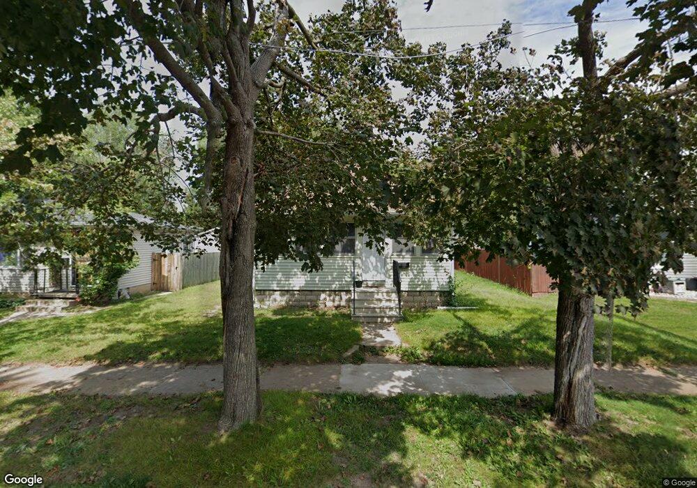
1036 Newton St Waterloo, IA 50703
Estimated Value: $64,000 - $80,000
2
Beds
1
Bath
748
Sq Ft
$97/Sq Ft
Est. Value
About This Home
This home is located at 1036 Newton St, Waterloo, IA 50703 and is currently estimated at $72,664, approximately $97 per square foot. 1036 Newton St is a home located in Black Hawk County with nearby schools including Lincoln Elementary School, George Washington Carver Academy, and East High School.
Ownership History
Date
Name
Owned For
Owner Type
Purchase Details
Closed on
Jul 24, 2014
Sold by
Schellhorn Deborah K
Bought by
P & M Real Estate Llc
Current Estimated Value
Home Financials for this Owner
Home Financials are based on the most recent Mortgage that was taken out on this home.
Original Mortgage
$36,800
Outstanding Balance
$28,020
Interest Rate
4.15%
Mortgage Type
New Conventional
Estimated Equity
$44,644
Purchase Details
Closed on
Jun 8, 2012
Sold by
Martin Wanda C and Schaack Wanda C
Bought by
Schellhorn Deborah K
Create a Home Valuation Report for This Property
The Home Valuation Report is an in-depth analysis detailing your home's value as well as a comparison with similar homes in the area
Home Values in the Area
Average Home Value in this Area
Purchase History
| Date | Buyer | Sale Price | Title Company |
|---|---|---|---|
| P & M Real Estate Llc | $46,000 | None Available | |
| Schellhorn Deborah K | -- | None Available |
Source: Public Records
Mortgage History
| Date | Status | Borrower | Loan Amount |
|---|---|---|---|
| Open | P & M Real Estate Llc | $36,800 |
Source: Public Records
Tax History Compared to Growth
Tax History
| Year | Tax Paid | Tax Assessment Tax Assessment Total Assessment is a certain percentage of the fair market value that is determined by local assessors to be the total taxable value of land and additions on the property. | Land | Improvement |
|---|---|---|---|---|
| 2025 | $1,340 | $66,580 | $10,580 | $56,000 |
| 2024 | $1,340 | $61,800 | $10,580 | $51,220 |
| 2023 | $1,086 | $61,800 | $10,580 | $51,220 |
| 2022 | $1,058 | $49,480 | $10,580 | $38,900 |
| 2021 | $1,026 | $49,480 | $10,580 | $38,900 |
| 2020 | $1,010 | $45,320 | $9,200 | $36,120 |
| 2019 | $1,010 | $45,320 | $9,200 | $36,120 |
| 2018 | $1,134 | $50,880 | $9,200 | $41,680 |
| 2017 | $1,168 | $50,880 | $9,200 | $41,680 |
| 2016 | $1,154 | $50,880 | $9,200 | $41,680 |
| 2015 | $1,154 | $50,880 | $9,200 | $41,680 |
| 2014 | $910 | $48,100 | $9,200 | $38,900 |
Source: Public Records
Map
Nearby Homes
- 1032 Newton St
- 1042 Newton St
- 1026 Newton St
- 1048 Newton St
- 1033 W Parker St
- 1045 W Parker St
- 1022 Newton St
- 1049 W Parker St
- 1052 Newton St
- 1027 W Parker St
- 1033 Newton St
- 1037 Newton St
- 1016 Newton St
- 1027 Newton St
- 1039 Newton St
- 406 Leonard Ave
- 1021 Newton St
- 1060 Newton St
- 1055 Newton St
- 1017 Newton St