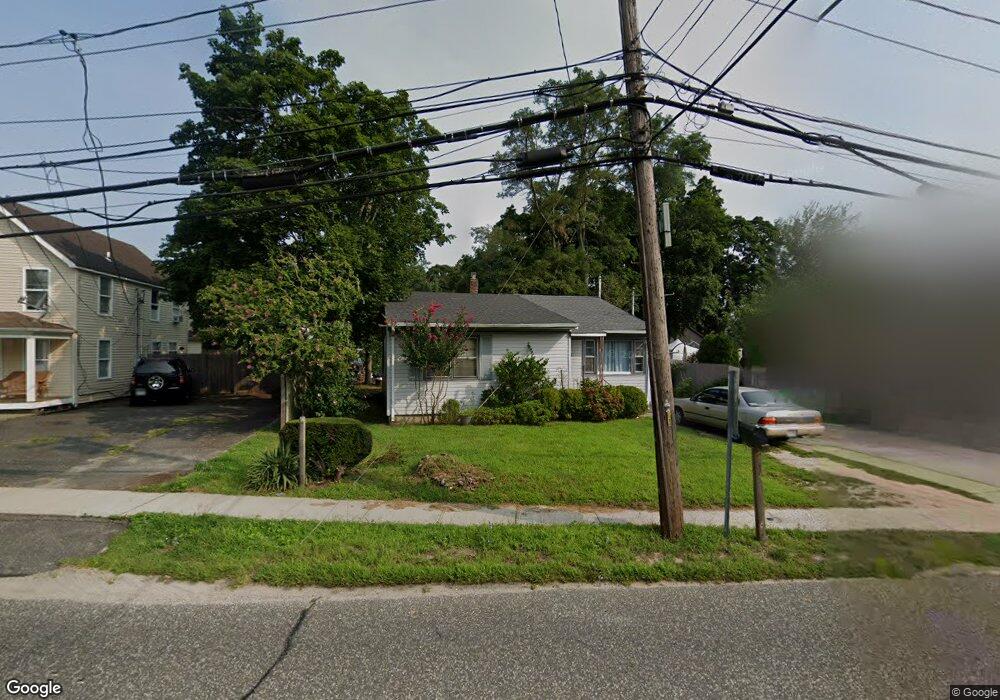
1036 Pulaski St Riverhead, NY 11901
Estimated Value: $381,356 - $524,000
2
Beds
1
Bath
946
Sq Ft
$478/Sq Ft
Est. Value
About This Home
This home is located at 1036 Pulaski St, Riverhead, NY 11901 and is currently estimated at $452,589, approximately $478 per square foot. 1036 Pulaski St is a home located in Suffolk County with nearby schools including Pulaski Street Intermediate School, Riverhead Middle School, and Riverhead Senior High School.
Ownership History
Date
Name
Owned For
Owner Type
Purchase Details
Closed on
Aug 5, 2010
Sold by
Dempsey Patricia A and Booker Elaine A
Bought by
Chichester Realty Inc
Current Estimated Value
Purchase Details
Closed on
Mar 13, 2000
Sold by
Booker Warren Carl
Bought by
Booker Warren Carl and Booker Elaine A
Purchase Details
Closed on
Oct 1, 1998
Sold by
Booker Warren Carl and Booker Delphine Q
Bought by
Booker Warren Carl
Purchase Details
Closed on
Oct 8, 1996
Sold by
Branch Ruth and Branch Gregory
Bought by
Booker Warren Carl
Create a Home Valuation Report for This Property
The Home Valuation Report is an in-depth analysis detailing your home's value as well as a comparison with similar homes in the area
Home Values in the Area
Average Home Value in this Area
Purchase History
| Date | Buyer | Sale Price | Title Company |
|---|---|---|---|
| Chichester Realty Inc | $97,500 | -- | |
| Booker Warren Carl | -- | Commonwealth Land Title Ins | |
| Booker Warren Carl | -- | -- | |
| Booker Warren Carl | -- | Chicago Title Insurance Co |
Source: Public Records
Tax History Compared to Growth
Tax History
| Year | Tax Paid | Tax Assessment Tax Assessment Total Assessment is a certain percentage of the fair market value that is determined by local assessors to be the total taxable value of land and additions on the property. | Land | Improvement |
|---|---|---|---|---|
| 2024 | $4,733 | $19,300 | $5,600 | $13,700 |
| 2023 | $4,733 | $19,300 | $5,600 | $13,700 |
| 2022 | $4,067 | $19,300 | $5,600 | $13,700 |
| 2021 | $4,067 | $19,300 | $5,600 | $13,700 |
| 2020 | $2,187 | $19,300 | $5,600 | $13,700 |
| 2019 | $2,187 | $0 | $0 | $0 |
| 2018 | -- | $19,300 | $5,600 | $13,700 |
| 2017 | $4,294 | $19,300 | $5,600 | $13,700 |
| 2016 | $4,259 | $19,300 | $5,600 | $13,700 |
| 2015 | -- | $19,300 | $5,600 | $13,700 |
| 2014 | -- | $19,300 | $5,600 | $13,700 |
Source: Public Records
Map
Nearby Homes
- 1031 West St
- 725 W Main St
- 553 Raynor Ave
- 380 Sweezy Ave
- 226 Sweezy Ave
- 519 Sweezy Ave
- 418 Lincoln St Unit 420
- 18 J T Blvd
- 1044 Woodcrest Ave
- 627 Roanoke Ave
- 839 Pond View Rd
- Old Country Old Country Rd Unit 44
- 2009 Old Country Rd
- 725 E Avenue Extension Unit 5
- 817 Pond View Rd
- 891 Pond View Rd
- 1018 Roanoke Ave
- 142 Woodhull Ave
- 148 Woodhull Ave
- 1212 Roanoke Ave