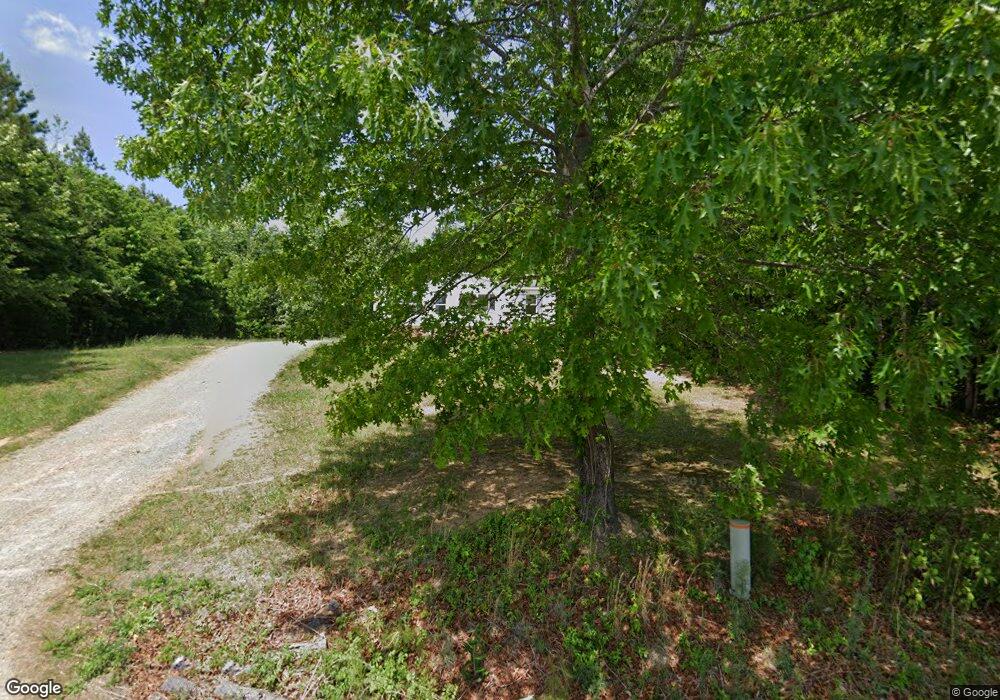
1036 Slick Rock Rd Nathalie, VA 24577
Estimated Value: $121,000 - $186,000
3
Beds
2
Baths
1,296
Sq Ft
$117/Sq Ft
Est. Value
About This Home
This home is located at 1036 Slick Rock Rd, Nathalie, VA 24577 and is currently estimated at $151,900, approximately $117 per square foot. 1036 Slick Rock Rd is a home located in Halifax County with nearby schools including Sydnor Jennings Elementary School, Halifax County Middle School, and Halifax County High School.
Ownership History
Date
Name
Owned For
Owner Type
Purchase Details
Closed on
Jul 31, 2019
Sold by
Huling Caleb S and Huling Yasmin L
Bought by
Capwell Theodore W and Capwell Shirley L
Current Estimated Value
Purchase Details
Closed on
Dec 8, 2010
Sold by
Forlines Carl A
Bought by
Huling Caleb S
Home Financials for this Owner
Home Financials are based on the most recent Mortgage that was taken out on this home.
Original Mortgage
$48,000
Interest Rate
4.24%
Mortgage Type
New Conventional
Create a Home Valuation Report for This Property
The Home Valuation Report is an in-depth analysis detailing your home's value as well as a comparison with similar homes in the area
Home Values in the Area
Average Home Value in this Area
Purchase History
| Date | Buyer | Sale Price | Title Company |
|---|---|---|---|
| Capwell Theodore W | -- | None Available | |
| Huling Caleb S | $49,000 | -- |
Source: Public Records
Mortgage History
| Date | Status | Borrower | Loan Amount |
|---|---|---|---|
| Previous Owner | Huling Caleb S | $48,000 |
Source: Public Records
Tax History Compared to Growth
Tax History
| Year | Tax Paid | Tax Assessment Tax Assessment Total Assessment is a certain percentage of the fair market value that is determined by local assessors to be the total taxable value of land and additions on the property. | Land | Improvement |
|---|---|---|---|---|
| 2025 | $350 | $69,923 | $10,388 | $59,535 |
| 2024 | $350 | $69,923 | $10,388 | $59,535 |
| 2023 | $355 | $71,085 | $10,388 | $60,697 |
| 2022 | $351 | $70,125 | $10,388 | $59,737 |
| 2021 | $261 | $52,110 | $10,388 | $41,722 |
| 2020 | $265 | $53,033 | $10,388 | $42,645 |
| 2019 | $254 | $50,802 | $10,372 | $40,430 |
| 2018 | $244 | $50,802 | $10,372 | $40,430 |
| 2016 | $259 | $53,883 | $10,346 | $43,537 |
| 2015 | $259 | $53,883 | $10,346 | $43,537 |
| 2014 | $248 | $53,883 | $10,346 | $43,537 |
| 2013 | $250 | $55,625 | $10,346 | $45,279 |
Source: Public Records
Map
Nearby Homes
- 00 Church Rd
- L P Bailey Memorial Hwy
- Tract C Acorn Rd
- 1091 Acorn Rd
- 1135 Acorn Rd
- 0 Bradley Creek Unit 313020
- 0 Rabat Rd Unit 8130-2
- 0 Chestnut Rd Unit 313027
- 2213 Rabat Rd
- 1120 Armistead Rd
- 2052 Chisolm Trail
- 1081 Lennig Rd
- 0 L P Bailey Memorial Hwy
- 1131 Cody Rd
- 1083 Hog Wallow Rd
- 1180 Coles Ferry Rd
- 0 Liberty Rd
- 0 Turkey Track Ln
- 2087 Cody Rd
- 19029 L P Bailey Memorial Hwy
- 1030 Slick Rock Rd
- 1213 Nathalie Rd
- 1233 Nathalie Rd
- 1243 Nathalie Rd
- 1223 Nathalie Rd
- 1181 Nathalie Rd
- 1243 Nathalie Rd
- 2026 Pierce Ct
- 1244 Nathalie Rd
- 2249 Other
- 8050 Coles Rd
- 1106 Other
- 1078 Doctor Lacy Trail
- 1194 Nathalie Rd
- 1014 Dr Lacy Trail
- 1012 Dr Lacy Trail
- 1024 Dr Lacy Trail
- 1018 Dr Lacy Trail
- 1178 Nathalie Rd
- 1048 Dr Lacy Trail