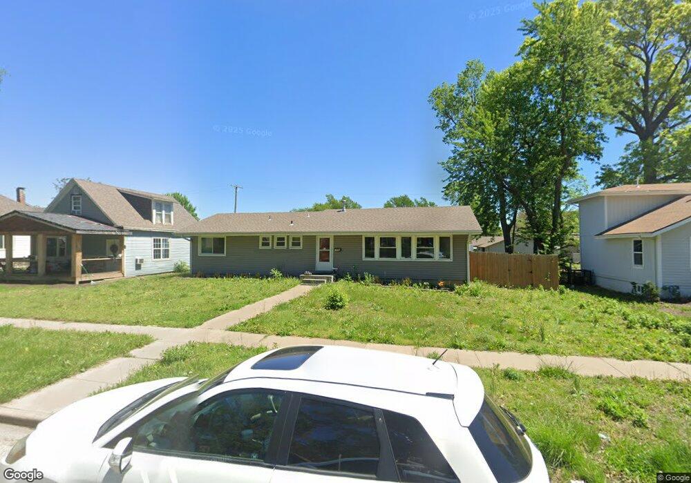
1036 SW Woodward Ave Topeka, KS 66604
Norton NeighborhoodEstimated Value: $111,000 - $129,000
3
Beds
2
Baths
1,312
Sq Ft
$90/Sq Ft
Est. Value
About This Home
This home is located at 1036 SW Woodward Ave, Topeka, KS 66604 and is currently estimated at $117,981, approximately $89 per square foot. 1036 SW Woodward Ave is a home located in Shawnee County with nearby schools including Lowman Hill Elementary School, Landon Middle School, and Topeka High School.
Ownership History
Date
Name
Owned For
Owner Type
Purchase Details
Closed on
Sep 6, 2016
Sold by
Garner Properties Llc
Bought by
Brown Bridget R
Current Estimated Value
Home Financials for this Owner
Home Financials are based on the most recent Mortgage that was taken out on this home.
Original Mortgage
$71,352
Outstanding Balance
$56,754
Interest Rate
3.3%
Mortgage Type
FHA
Estimated Equity
$61,227
Purchase Details
Closed on
Jul 30, 2009
Sold by
Heritage Bank
Bought by
Garner Properties Llc
Create a Home Valuation Report for This Property
The Home Valuation Report is an in-depth analysis detailing your home's value as well as a comparison with similar homes in the area
Home Values in the Area
Average Home Value in this Area
Purchase History
| Date | Buyer | Sale Price | Title Company |
|---|---|---|---|
| Brown Bridget R | -- | Lawyers Title Of Topeka Inc | |
| Garner Properties Llc | -- | None Available |
Source: Public Records
Mortgage History
| Date | Status | Borrower | Loan Amount |
|---|---|---|---|
| Open | Brown Bridget R | $71,352 |
Source: Public Records
Tax History Compared to Growth
Tax History
| Year | Tax Paid | Tax Assessment Tax Assessment Total Assessment is a certain percentage of the fair market value that is determined by local assessors to be the total taxable value of land and additions on the property. | Land | Improvement |
|---|---|---|---|---|
| 2025 | $1,934 | $11,932 | -- | -- |
| 2023 | $1,934 | $10,721 | $0 | $0 |
| 2022 | $1,457 | $10,019 | $0 | $0 |
| 2021 | $1,412 | $9,109 | $0 | $0 |
| 2020 | $1,262 | $8,264 | $0 | $0 |
| 2019 | $1,244 | $8,102 | $0 | $0 |
| 2018 | $1,208 | $7,867 | $0 | $0 |
| 2017 | $1,211 | $7,867 | $0 | $0 |
| 2014 | $1,347 | $8,634 | $0 | $0 |
Source: Public Records
Map
Nearby Homes
- 2012 SW 10th Ave
- 1022 SW MacVicar Ave
- 2204 SW Kensington Ct
- 1156 SW Woodward Ave
- 1164 SW MacVicar Ave
- 2330 SW Hazelton Ct
- 1181 SW MacVicar Ave
- 923 SW High Ave
- 808 SW Lindenwood Ave
- 801 SW Lindenwood Ave
- 804 SW High Ave
- 734 SW Lindenwood Ave
- 1216 SW College Ave
- 2235 SW Kenilworth Ct
- 719 SW Jewell Ave
- 1224 SW Garfield Ave
- 1147 SW Webster Ave
- 2516 SW Huntoon St
- 1150 SW Collins Ave
- 626 SW Medford Ave
- 1026 SW Woodward Ave
- 1038 SW Woodward Ave
- 1024 SW Woodward Ave
- 1042 SW Woodward Ave
- 1022 SW Woodward Ave
- 1031 SW Jewell Ave
- 1046 SW Woodward Ave
- 1020 SW Woodward Ave
- 1043 SW Jewell Ave
- 1025 SW Jewell Ave
- 1035 SW Woodward Ave
- 1033 SW Woodward Ave
- 1029 SW Woodward Ave
- 1008 SW Woodward Ave
- 1041 SW Woodward Ave
- 1047 SW Jewell Ave
- 1027 SW Woodward Ave
- 1049 SW Woodward Ave
- 1021 SW Woodward Ave
- 1021 SW Jewell Ave