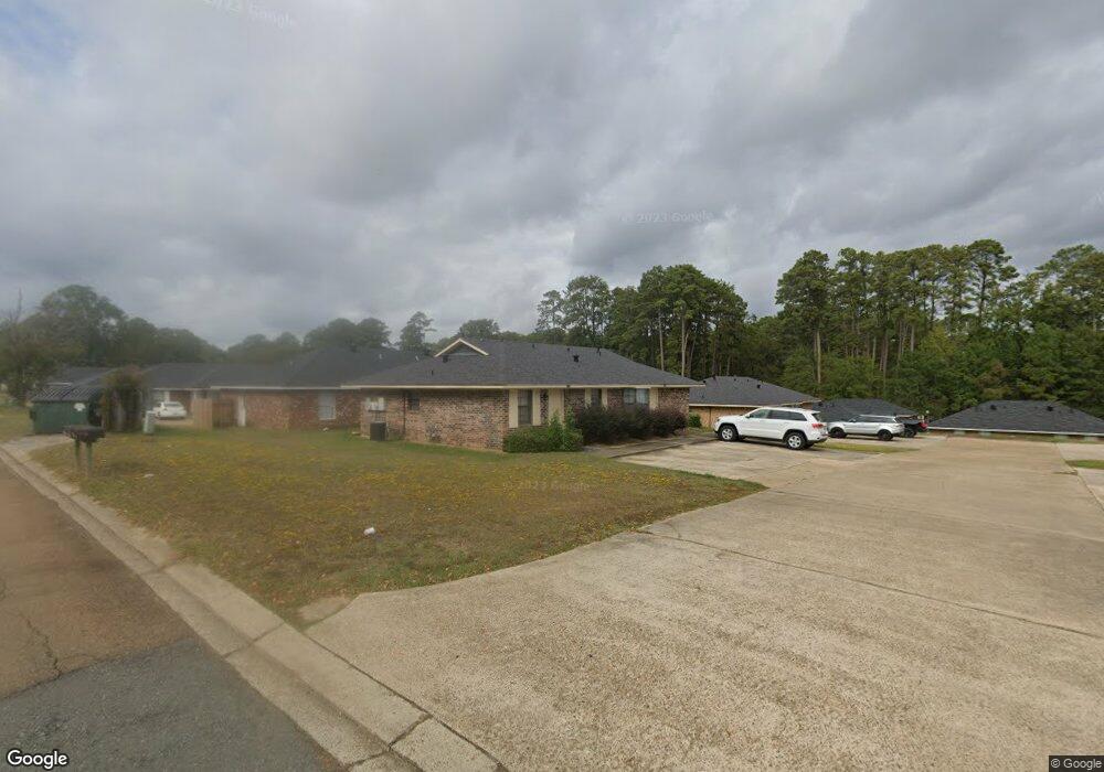
1036 Sybil Dr Ruston, LA 71270
Estimated Value: $154,000 - $237,790
2
Beds
1
Bath
731
Sq Ft
$267/Sq Ft
Est. Value
About This Home
This home is located at 1036 Sybil Dr, Ruston, LA 71270 and is currently estimated at $194,948, approximately $266 per square foot. 1036 Sybil Dr is a home located in Lincoln Parish with nearby schools including Glen View Elementary School, Cypress Springs Elementary School, and Ruston Junior High School.
Ownership History
Date
Name
Owned For
Owner Type
Purchase Details
Closed on
Nov 14, 2007
Sold by
Hood John M
Bought by
Lindsey Anthony Wayne and Lindsey Lucretia Gillespie
Current Estimated Value
Home Financials for this Owner
Home Financials are based on the most recent Mortgage that was taken out on this home.
Original Mortgage
$124,600
Outstanding Balance
$78,836
Interest Rate
6.38%
Mortgage Type
New Conventional
Estimated Equity
$116,112
Create a Home Valuation Report for This Property
The Home Valuation Report is an in-depth analysis detailing your home's value as well as a comparison with similar homes in the area
Home Values in the Area
Average Home Value in this Area
Purchase History
| Date | Buyer | Sale Price | Title Company |
|---|---|---|---|
| Lindsey Anthony Wayne | $182,450 | None Available |
Source: Public Records
Mortgage History
| Date | Status | Borrower | Loan Amount |
|---|---|---|---|
| Open | Lindsey Anthony Wayne | $124,600 |
Source: Public Records
Tax History Compared to Growth
Tax History
| Year | Tax Paid | Tax Assessment Tax Assessment Total Assessment is a certain percentage of the fair market value that is determined by local assessors to be the total taxable value of land and additions on the property. | Land | Improvement |
|---|---|---|---|---|
| 2024 | $1,741 | $20,401 | $1,575 | $18,826 |
| 2023 | $2,073 | $23,327 | $2,013 | $21,314 |
| 2022 | $2,083 | $23,327 | $2,013 | $21,314 |
| 2021 | $1,929 | $23,327 | $2,013 | $21,314 |
| 2020 | $1,673 | $20,129 | $2,013 | $18,116 |
| 2019 | $1,740 | $21,423 | $2,013 | $19,410 |
| 2018 | $1,692 | $21,423 | $2,013 | $19,410 |
| 2017 | $1,697 | $21,423 | $2,013 | $19,410 |
| 2016 | $1,690 | $0 | $0 | $0 |
| 2015 | $1,680 | $19,561 | $2,625 | $16,936 |
| 2013 | $1,707 | $19,561 | $2,625 | $16,936 |
Source: Public Records
Map
Nearby Homes
- 1322 Cooktown Rd
- 904 Sherwood Dr
- 1512 Gordon Dr
- 0 Gordon Dr
- 512 Glendale Dr
- 902 Arnold St
- 1201 Gains Ave
- 901 Pennington Ln
- 2158 Llangeler Dr
- Lot 5 Llangeler Dr
- 2201 Cooktown Rd
- 1607 N Trenton St
- 203 Huey Ave
- 1715 N Trenton St
- 1604 N Trenton St
- 136 N Pinecrest Dr
- 200 Pinecrest Dr
- 316 Western St Unit 314 Western Street,
- Kavanaugh Rd
- 914 N Vienna St